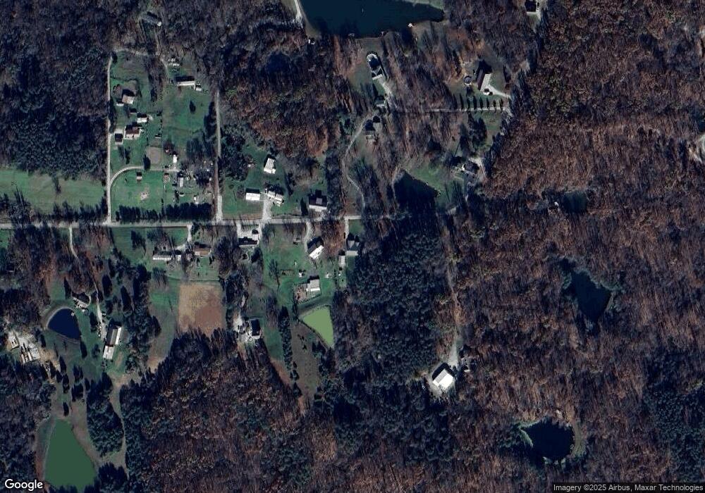
1086 W County Line Rd Underwood, IN 47177
Estimated Value: $155,000 - $257,000
--
Bed
--
Bath
1,612
Sq Ft
$133/Sq Ft
Est. Value
About This Home
This home is located at 1086 W County Line Rd, Underwood, IN 47177 and is currently estimated at $213,776, approximately $132 per square foot. 1086 W County Line Rd is a home with nearby schools including Scottsburg Senior High School.
Ownership History
Date
Name
Owned For
Owner Type
Purchase Details
Closed on
Aug 28, 2015
Sold by
Burns Derek W and Burns Steven A
Bought by
Parrish Deborah J
Current Estimated Value
Purchase Details
Closed on
Jul 28, 2013
Sold by
Parrish Keith R
Bought by
Parrish Deborah J
Purchase Details
Closed on
Oct 7, 2011
Sold by
Bowles Denise M and Hurtt Denise M
Bought by
Parrish Keith R
Purchase Details
Closed on
Oct 6, 2011
Sold by
Bowles Michael J
Bought by
Bowles Denise M and Hurtt Denise M
Purchase Details
Closed on
Nov 6, 2001
Sold by
Lee Collings Billy
Bought by
Bowles Michael J and Bowles Denise M
Create a Home Valuation Report for This Property
The Home Valuation Report is an in-depth analysis detailing your home's value as well as a comparison with similar homes in the area
Home Values in the Area
Average Home Value in this Area
Purchase History
| Date | Buyer | Sale Price | Title Company |
|---|---|---|---|
| Parrish Deborah J | -- | None Available | |
| Parrish Deborah J | -- | None Available | |
| Parrish Keith R | -- | None Available | |
| Bowles Denise M | -- | None Available | |
| Bowles Michael J | -- | -- |
Source: Public Records
Tax History Compared to Growth
Tax History
| Year | Tax Paid | Tax Assessment Tax Assessment Total Assessment is a certain percentage of the fair market value that is determined by local assessors to be the total taxable value of land and additions on the property. | Land | Improvement |
|---|---|---|---|---|
| 2024 | $1,251 | $156,300 | $27,000 | $129,300 |
| 2023 | $1,098 | $145,100 | $27,000 | $118,100 |
| 2022 | $497 | $88,200 | $27,000 | $61,200 |
| 2021 | $489 | $84,000 | $27,000 | $57,000 |
| 2020 | $510 | $88,100 | $27,000 | $61,100 |
| 2019 | $492 | $86,500 | $27,000 | $59,500 |
| 2018 | $477 | $85,800 | $23,100 | $62,700 |
| 2017 | $438 | $83,000 | $23,100 | $59,900 |
| 2016 | $456 | $85,500 | $23,100 | $62,400 |
| 2014 | $70 | $88,700 | $24,100 | $64,600 |
| 2013 | $70 | $74,600 | $24,100 | $50,500 |
Source: Public Records
Map
Nearby Homes
- 1016 & 1018 W County Line Rd
- 577 E Radio Tower Rd
- 10351 Brownstown Rd
- 10219 Brownstown Rd
- 3961 S Ray Rd
- 1026 Beagle Club
- 0 W Leota Rd
- 9474 State Road 356
- 2672 S Lake Rd S
- 2233 E Radio Tower Rd
- 0 Hebron Church Rd Unit 202540523
- 510 Hazelwood Dr
- 1538 E Ash Hollow Ln
- 418 Pine Drive Cir
- 1865 Augusta Blvd
- 1656 S Meranda Ln
- 406 Crest Way
- 308 N Francke Rd
- 2198 E State Road 356
- 1012 S Riley Dr
- 0 W County Line Rd Unit 201806161
- 0 W County Line Rd Unit 201905964
- 0 W County Line Rd Unit 201905963
- 0 W County Line Rd Unit 201905962
- 1101 W County Line Rd
- 1016 W County Line Rd
- 804 W County Line Rd
- 750 W County Line Rd
- 720 W County Line Rd
- 610 W County Line Rd
- 620 W County Line Rd
- 1227 W Collins Rd
- 1084 W Collins Rd
- 510 W County Line Rd
- 592 W County Line Rd
- 5418 S Lake Rd S
- 1050 W Collins Rd
- 1423 W Collins Rd
- 1609 W County Line Rd
- 1609 W County Line Rd
