108607 S 4776 Rd Roland, OK 74954
Remy NeighborhoodEstimated Value: $288,000 - $348,119
3
Beds
2
Baths
2,016
Sq Ft
$155/Sq Ft
Est. Value
About This Home
This home is located at 108607 S 4776 Rd, Roland, OK 74954 and is currently estimated at $313,373, approximately $155 per square foot. 108607 S 4776 Rd is a home located in Sequoyah County with nearby schools including Liberty Public School.
Ownership History
Date
Name
Owned For
Owner Type
Purchase Details
Closed on
Aug 23, 2021
Sold by
Mitchell Edward P
Bought by
Housing Authority Of The Cherokee Nation Of O
Current Estimated Value
Purchase Details
Closed on
Jul 22, 2021
Sold by
Mitchell Edward P
Bought by
Housing Authority Of The Cheroekee Nation Of
Purchase Details
Closed on
Apr 23, 1998
Sold by
Catsavis George
Bought by
Mitchell Edward and Mitchell Helen
Create a Home Valuation Report for This Property
The Home Valuation Report is an in-depth analysis detailing your home's value as well as a comparison with similar homes in the area
Home Values in the Area
Average Home Value in this Area
Purchase History
| Date | Buyer | Sale Price | Title Company |
|---|---|---|---|
| Housing Authority Of The Cherokee Nation Of O | -- | None Listed On Document | |
| Housing Authority Of The Cheroekee Nation Of | $14,666 | None Listed On Document | |
| Mitchell Edward | $16,000 | -- |
Source: Public Records
Tax History Compared to Growth
Tax History
| Year | Tax Paid | Tax Assessment Tax Assessment Total Assessment is a certain percentage of the fair market value that is determined by local assessors to be the total taxable value of land and additions on the property. | Land | Improvement |
|---|---|---|---|---|
| 2024 | $1,650 | $23,293 | $1,803 | $21,490 |
| 2023 | $1,600 | $22,614 | $1,743 | $20,871 |
| 2022 | $1,504 | $21,956 | $1,661 | $20,295 |
| 2021 | $1,458 | $21,955 | $1,621 | $20,334 |
| 2020 | $1,414 | $20,695 | $1,521 | $19,174 |
| 2019 | $1,370 | $20,093 | $1,473 | $18,620 |
| 2018 | $1,328 | $19,507 | $1,414 | $18,093 |
| 2017 | $1,288 | $18,939 | $1,357 | $17,582 |
| 2016 | $1,248 | $18,388 | $1,289 | $17,099 |
| 2015 | $1,210 | $17,853 | $1,239 | $16,614 |
| 2014 | $1,172 | $17,332 | $1,189 | $16,143 |
Source: Public Records
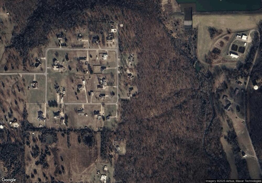
Map
Nearby Homes
- 108962 Hummingbird Ln
- 477053 E 1085 Rd
- 476967 E 1090 Rd
- 108892 S 4768 Rd
- 109483 S 4770 Rd
- 108714 S 4767 Rd
- 308 Highland Rd
- 910 James St
- 200 S Jeff Ln
- 104 Church St
- 505 Mayfield Dr
- 511 Mayfield Dr
- 136 Stone Dr
- 138 Stone Dr
- 476120 E 1091 Rd
- 101 Hollow Dr
- Lot 1 N 4780 Rd
- 101 Choctaw Dr
- 0000 Cottonwood Rd
- 104 Commanche Loop
- 108555 S 4776 Rd
- 108604 S 4776 Rd
- 108584 S 4776 Rd
- 108525 S 4776 Rd
- 108546 S 4776 Rd
- 477554 E 1086 Rd
- 477520 E 1086 Rd
- 477540 E 1084 Rd
- 477489 E 1086 Rd
- 477563 E 1084 Rd
- 477694 E 1090 Rd
- 477523 E 1084 Rd
- 477421 E 1086 Rd
- 477497 E 1084 Rd
- 477432 E 1086 Rd
- 108541 S 4774 Rd
- 144 Rr 1 Unit 6
- 144 Rr 1 Unit Z1
- 144 Rr 1 Unit 12
- 477433 E 1084 Rd