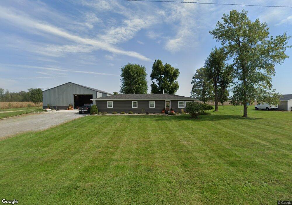
10862 Ashburn Rd Wapakoneta, OH 45895
Estimated Value: $216,000 - $279,000
3
Beds
2
Baths
1,664
Sq Ft
$156/Sq Ft
Est. Value
About This Home
This home is located at 10862 Ashburn Rd, Wapakoneta, OH 45895 and is currently estimated at $259,530, approximately $155 per square foot. 10862 Ashburn Rd is a home located in Auglaize County with nearby schools including Wapakoneta Elementary School, Wapakoneta High School, and Wapakoneta Middle School.
Ownership History
Date
Name
Owned For
Owner Type
Purchase Details
Closed on
Jul 31, 2024
Sold by
Fisher Andrew
Bought by
Fisher Kevin J and Fisher Lauren A
Current Estimated Value
Purchase Details
Closed on
Jul 22, 2020
Sold by
Fisher Edward A and Fisher Mary E
Bought by
Fisher Andrew
Home Financials for this Owner
Home Financials are based on the most recent Mortgage that was taken out on this home.
Original Mortgage
$166,200
Interest Rate
3.2%
Mortgage Type
New Conventional
Purchase Details
Closed on
Oct 1, 1989
Create a Home Valuation Report for This Property
The Home Valuation Report is an in-depth analysis detailing your home's value as well as a comparison with similar homes in the area
Home Values in the Area
Average Home Value in this Area
Purchase History
| Date | Buyer | Sale Price | Title Company |
|---|---|---|---|
| Fisher Kevin J | $275,000 | None Listed On Document | |
| Fisher Andrew | $175,000 | Superior Title | |
| -- | $40,000 | -- |
Source: Public Records
Mortgage History
| Date | Status | Borrower | Loan Amount |
|---|---|---|---|
| Previous Owner | Fisher Andrew | $166,200 |
Source: Public Records
Tax History Compared to Growth
Tax History
| Year | Tax Paid | Tax Assessment Tax Assessment Total Assessment is a certain percentage of the fair market value that is determined by local assessors to be the total taxable value of land and additions on the property. | Land | Improvement |
|---|---|---|---|---|
| 2024 | $3,065 | $59,990 | $10,710 | $49,280 |
| 2023 | $819 | $49,400 | $10,710 | $38,690 |
| 2022 | $1,671 | $44,870 | $8,700 | $36,170 |
| 2021 | $813 | $44,870 | $8,700 | $36,170 |
| 2020 | $1,653 | $44,870 | $8,701 | $36,169 |
| 2019 | $1,384 | $37,706 | $7,312 | $30,394 |
| 2018 | $1,431 | $38,896 | $7,312 | $31,584 |
| 2017 | $1,423 | $38,896 | $7,312 | $31,584 |
| 2016 | $1,038 | $28,651 | $6,965 | $21,686 |
| 2015 | $1,035 | $28,651 | $6,965 | $21,686 |
| 2014 | $1,044 | $28,651 | $6,965 | $21,686 |
| 2013 | $1,084 | $28,651 | $6,965 | $21,686 |
Source: Public Records
Map
Nearby Homes
- 10754 Ashburn Rd
- 10746 Ashburn Rd
- 10880 Ashburn Rd
- 10992 Ashburn Rd
- 11000 Ashburn Rd
- 10581 Ashburn Rd
- 10532 Ashburn Rd
- 10599 Geyer Dr
- 10855 Geyer Rd
- 09528 Geyer Rd
- 09468 Geyer Rd
- 09408 Geyer Rd
- 18471 Freyburg East Rd
- 18394 Freyburg East Rd
- 10785 Geyer Rd
- 18347 Freyburg East Rd
- 10973 Geyer Rd
- 18307 Freyburg East Rd
- 10826 Geyer Rd