108625 S 4070 Rd Checotah, OK 74426
Estimated Value: $159,494 - $329,000
3
Beds
1
Bath
1,036
Sq Ft
$232/Sq Ft
Est. Value
About This Home
This home is located at 108625 S 4070 Rd, Checotah, OK 74426 and is currently estimated at $240,624, approximately $232 per square foot. 108625 S 4070 Rd is a home located in McIntosh County with nearby schools including Marshall Elementary School, Checotah Intermediate Elementary School, and Checotah Middle School.
Ownership History
Date
Name
Owned For
Owner Type
Purchase Details
Closed on
Dec 29, 2021
Sold by
Brandie Bowen
Bought by
Roberts Mark Peter and Roberts Linda D
Current Estimated Value
Purchase Details
Closed on
Apr 29, 2019
Sold by
Bowen Brandie
Bought by
Prater Daniel B and Prater Lena May
Home Financials for this Owner
Home Financials are based on the most recent Mortgage that was taken out on this home.
Original Mortgage
$142,500
Interest Rate
4.2%
Mortgage Type
Future Advance Clause Open End Mortgage
Create a Home Valuation Report for This Property
The Home Valuation Report is an in-depth analysis detailing your home's value as well as a comparison with similar homes in the area
Home Values in the Area
Average Home Value in this Area
Purchase History
| Date | Buyer | Sale Price | Title Company |
|---|---|---|---|
| Roberts Mark Peter | $255,000 | Eufaula Abstract & Title | |
| Prater Daniel B | $190,000 | Old Republic Natl Ttl Ins Co |
Source: Public Records
Mortgage History
| Date | Status | Borrower | Loan Amount |
|---|---|---|---|
| Previous Owner | Prater Daniel B | $142,500 |
Source: Public Records
Tax History Compared to Growth
Tax History
| Year | Tax Paid | Tax Assessment Tax Assessment Total Assessment is a certain percentage of the fair market value that is determined by local assessors to be the total taxable value of land and additions on the property. | Land | Improvement |
|---|---|---|---|---|
| 2025 | $552 | $6,594 | $1,828 | $4,766 |
| 2024 | $552 | $6,594 | $1,828 | $4,766 |
| 2023 | $552 | $5,803 | $1,828 | $3,975 |
| 2022 | $500 | $5,803 | $1,828 | $3,975 |
| 2021 | $551 | $5,803 | $1,828 | $3,975 |
| 2020 | $558 | $5,803 | $1,828 | $3,975 |
| 2019 | $542 | $5,675 | $1,733 | $3,942 |
| 2018 | $578 | $8,583 | $2,523 | $6,060 |
| 2017 | $478 | $5,078 | $2,102 | $2,976 |
| 2016 | $475 | $4,930 | $2,041 | $2,889 |
| 2015 | $462 | $4,786 | $2,001 | $2,785 |
| 2014 | $447 | $4,647 | $1,943 | $2,704 |
Source: Public Records
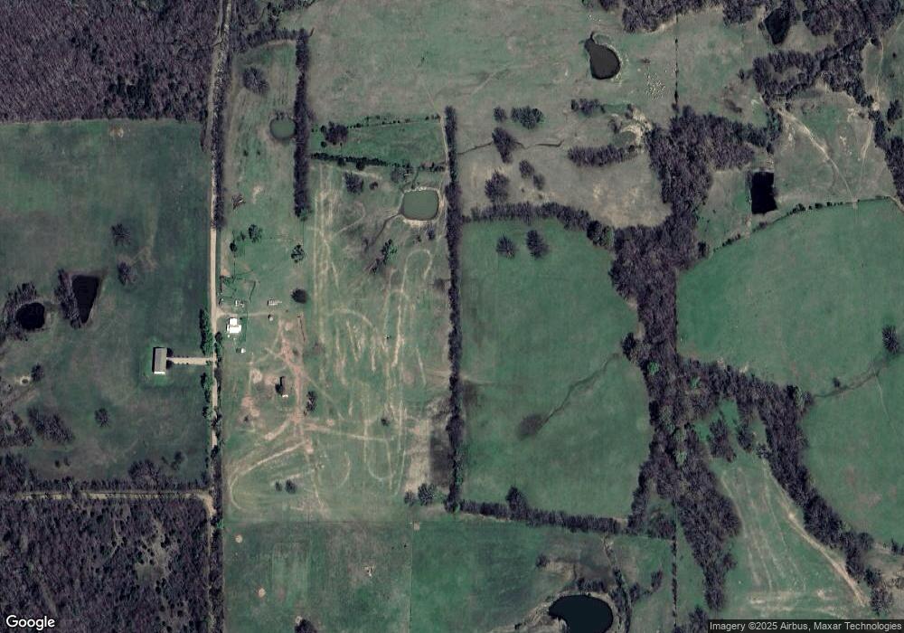
Map
Nearby Homes
- Tract 1 E 1090 Rd
- 0 E 1090 Rd
- E 1090 Rd
- 0 4055 Unit 2504148
- 404517 E 1080 Rd
- 107349 S 4091 Rd
- 1 1120
- 3 1120
- 110917 S 4043 Rd
- 409612 E 1115 Rd
- 000 Spencer Rd
- 0000 N 4040 Rd
- 411321 E 1080 Rd
- 103796 S 407 Rd
- 0 1065 Rd Unit 2527091
- 408497 E 1140 Rd
- 0 E 1030 Rd
- 410800 E 1135 Rd
- TBD S 4110 Rd
- 411345 Highway 266