10863 Boulder Crest Dr South Lyon, MI 48178
Estimated Value: $601,000 - $637,256
4
Beds
3
Baths
2,929
Sq Ft
$212/Sq Ft
Est. Value
About This Home
This home is located at 10863 Boulder Crest Dr, South Lyon, MI 48178 and is currently estimated at $621,814, approximately $212 per square foot. 10863 Boulder Crest Dr is a home located in Livingston County with nearby schools including William A. Brummer Elementary School, Centennial Middle School, and South Lyon High School.
Ownership History
Date
Name
Owned For
Owner Type
Purchase Details
Closed on
Oct 8, 2021
Sold by
Huffer Daniel and Huffer Alyssa
Bought by
Bury Bradley J and Bury Jaclyn
Current Estimated Value
Home Financials for this Owner
Home Financials are based on the most recent Mortgage that was taken out on this home.
Original Mortgage
$392,800
Interest Rate
2.98%
Mortgage Type
New Conventional
Purchase Details
Closed on
Jul 24, 2020
Sold by
Huffer Daniel and Virgillo Alyssa
Bought by
Huffer Daniel and Huffer Alyssa
Home Financials for this Owner
Home Financials are based on the most recent Mortgage that was taken out on this home.
Original Mortgage
$279,060
Interest Rate
3.1%
Mortgage Type
New Conventional
Purchase Details
Closed on
Oct 23, 2015
Sold by
Lombardo Omes Of Se Michigan Llc
Bought by
Huffer Daniel S and Virgilio Alyssa
Create a Home Valuation Report for This Property
The Home Valuation Report is an in-depth analysis detailing your home's value as well as a comparison with similar homes in the area
Home Values in the Area
Average Home Value in this Area
Purchase History
| Date | Buyer | Sale Price | Title Company |
|---|---|---|---|
| Bury Bradley J | $491,000 | None Available | |
| Huffer Daniel | -- | Servicelink | |
| Huffer Daniel S | $349,775 | Greater Macomb Title Agency | |
| Lombardo Homes Of Se Michigan Llc | -- | Greater Macomb Title Agency |
Source: Public Records
Mortgage History
| Date | Status | Borrower | Loan Amount |
|---|---|---|---|
| Previous Owner | Bury Bradley J | $392,800 | |
| Previous Owner | Huffer Daniel | $279,060 |
Source: Public Records
Tax History Compared to Growth
Tax History
| Year | Tax Paid | Tax Assessment Tax Assessment Total Assessment is a certain percentage of the fair market value that is determined by local assessors to be the total taxable value of land and additions on the property. | Land | Improvement |
|---|---|---|---|---|
| 2025 | $7,404 | $278,400 | $0 | $0 |
| 2024 | $4,987 | $261,800 | $0 | $0 |
| 2023 | $4,757 | $232,200 | $0 | $0 |
| 2022 | $5,190 | $191,000 | $0 | $0 |
| 2021 | $5,190 | $214,900 | $0 | $0 |
| 2020 | $5,297 | $193,600 | $0 | $0 |
| 2019 | $5,399 | $191,000 | $0 | $0 |
| 2018 | $5,325 | $176,200 | $0 | $0 |
| 2017 | $5,409 | $175,300 | $0 | $0 |
| 2016 | $5,488 | $169,700 | $0 | $0 |
| 2014 | $251 | $25,000 | $0 | $0 |
| 2012 | $251 | $5,000 | $0 | $0 |
Source: Public Records
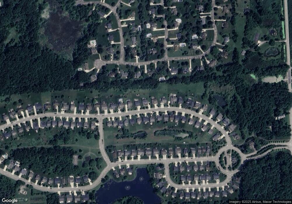
Map
Nearby Homes
- 10820 Bouldercrest Dr
- 10403 Bouldercrest Dr
- 11433 Marshall Rd
- 10593 9 Mile Rd
- 11346 E Shore Dr
- 10456 Oak Shore Dr
- 10537 Oak Forest Dr
- 10512 Oak Forest Dr
- 10468 Oak Shore Dr
- 10536 Oak Shore Dr
- 10875 Charring Cross Cir
- 10324 Greenwood Rd
- 10303 9 Mile Rd
- 10320 Harpers Ferry Ct
- 11108 Wood Run Cir
- 10194 Elmcrest Rd
- 11078 Wood Run Cir
- 424 E Shore Dr
- 11728 Kenton Dr
- 11045 Woodland Ridge Ct
- 10863 Bouldercrest Dr
- 10851 Boulder Crest Dr
- 10851 Bouldercrest Dr
- 10892 Bouldercrest Dr
- 10828 Bouldercrest Dr
- 10897 Boulder Crest Dr
- 10897 Bouldercrest Dr
- 10900 Bouldercrest Dr
- 10908 Bouldercrest Dr
- 10909 Boulder Crest Dr
- 10813 Bouldercrest Dr
- 10909 Bouldercrest Dr
- 10812 Bouldercrest Dr
- 11187 Sand Crane Way
- 11187 Sand Crane Way
- 11187 Sand Crane Way
- 10812 Boulder Crest Dr
- 10916 Bouldercrest Dr
- 10916 Boulder Crest Dr
- 11163 Sand Crane Way