10866 Marchant-Luttrell Rd Sabina, OH 45169
Estimated Value: $371,859 - $480,000
4
Beds
2
Baths
1,947
Sq Ft
$211/Sq Ft
Est. Value
About This Home
This home is located at 10866 Marchant-Luttrell Rd, Sabina, OH 45169 and is currently estimated at $411,715, approximately $211 per square foot. 10866 Marchant-Luttrell Rd is a home located in Fayette County with nearby schools including Miami Trace Elementary School, Miami Trace Middle School, and Miami Trace High School.
Ownership History
Date
Name
Owned For
Owner Type
Purchase Details
Closed on
Mar 27, 2015
Sold by
Dell Rick J and Dell Deborah S
Bought by
Dell Rick J and Dell Deborae S
Current Estimated Value
Purchase Details
Closed on
Aug 31, 2010
Sold by
Wells Mark Gray and Wells Jennifer C
Bought by
Dell Rick J and Dell Deborah S
Home Financials for this Owner
Home Financials are based on the most recent Mortgage that was taken out on this home.
Original Mortgage
$167,500
Outstanding Balance
$111,500
Interest Rate
4.6%
Mortgage Type
New Conventional
Estimated Equity
$300,215
Create a Home Valuation Report for This Property
The Home Valuation Report is an in-depth analysis detailing your home's value as well as a comparison with similar homes in the area
Home Values in the Area
Average Home Value in this Area
Purchase History
| Date | Buyer | Sale Price | Title Company |
|---|---|---|---|
| Dell Rick J | -- | Attorney | |
| Dell Rick J | $182,900 | Attorney |
Source: Public Records
Mortgage History
| Date | Status | Borrower | Loan Amount |
|---|---|---|---|
| Open | Dell Rick J | $167,500 |
Source: Public Records
Tax History Compared to Growth
Tax History
| Year | Tax Paid | Tax Assessment Tax Assessment Total Assessment is a certain percentage of the fair market value that is determined by local assessors to be the total taxable value of land and additions on the property. | Land | Improvement |
|---|---|---|---|---|
| 2024 | $3,865 | $98,670 | $12,290 | $86,380 |
| 2023 | $3,865 | $74,410 | $9,240 | $65,170 |
| 2022 | $3,101 | $74,410 | $9,240 | $65,170 |
| 2021 | $3,089 | $74,410 | $9,240 | $65,170 |
| 2020 | $2,439 | $57,720 | $7,700 | $50,020 |
| 2019 | $2,445 | $57,720 | $7,700 | $50,020 |
| 2018 | $2,333 | $57,720 | $7,700 | $50,020 |
| 2017 | $1,981 | $51,100 | $7,210 | $43,890 |
| 2016 | $2,004 | $51,100 | $7,210 | $43,890 |
| 2015 | $2,034 | $0 | $0 | $0 |
| 2013 | $2,014 | $51,100 | $7,210 | $43,890 |
| 2012 | -- | $146,000 | $0 | $0 |
Source: Public Records
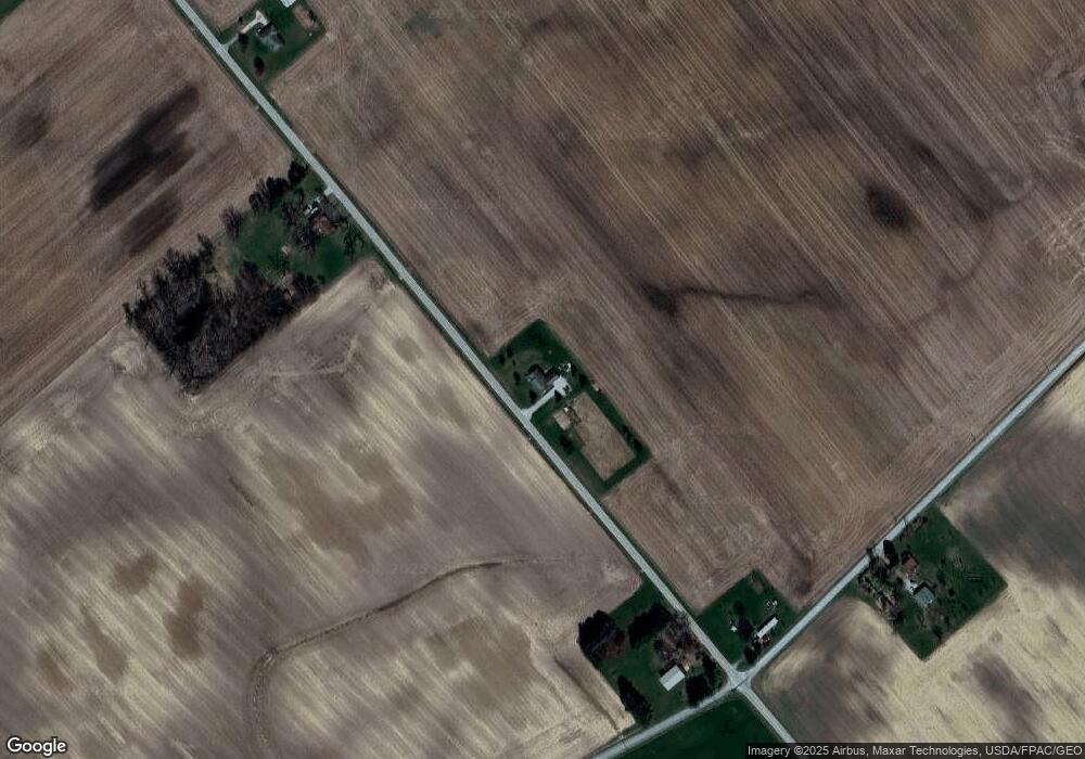
Map
Nearby Homes
- 1599 Garringer Rd
- 1365 Weaver Rd
- 5469 Davis Rd
- 5121 N State Route 72
- 973 Garringer Rd
- 1861 Oh-72
- 4842 State Route 734
- 2594 Irvin Rd
- 653 Burnett Rd
- 591 Burnett Rd
- 0 Apache Trail Unit 941961
- 350 Dakin Chapel Rd
- 0 Yorkshire Dr
- 328 Woodsview Dr
- 729 N State Route 729
- 23 Verity St
- 19 Clemens Ave
- 11 S Sycamore St
- 13812 State Route 41
- 8 S Sycamore St
- 10866 Merchant Luttrell Rd
- 10866 Merchant Luttrell Rd
- 10999 Merchant Luttrell Rd
- 10715 Merchant Luttrell Rd
- 10509 Pearson Octa Rd
- 11276 Merchant Luttrell Rd
- 10243 Marchant-Luttrell Rd
- 10305 Pearson Octa Rd
- 11243 Merchant Luttrell Rd
- 11310 Merchant Luttrell Rd
- 10425 Merchant Luttrell Rd
- 10194 Pearson Octa Rd
- 10184 Pearson Octa Rd
- 10509 Pearson-Octa Rd
- 0 Pearson-Octa Rd
- 10306 Pearson-Octa Rd
- 9982 Pearson Octa Rd
- 9944 Pearson Octa Rd
- 9910 Pearson Octa Rd
- 9910 Pearson-Octa Rd