Estimated Value: $210,000
3
Beds
2
Baths
2,366
Sq Ft
$89/Sq Ft
Est. Value
About This Home
This home is located at 10867 Highway 44, Foss, OK 73647 and is currently estimated at $210,000, approximately $88 per square foot. 10867 Highway 44 is a home located in Washita County with nearby schools including Canute Elementary School and Canute High School.
Create a Home Valuation Report for This Property
The Home Valuation Report is an in-depth analysis detailing your home's value as well as a comparison with similar homes in the area
Home Values in the Area
Average Home Value in this Area
Tax History Compared to Growth
Tax History
| Year | Tax Paid | Tax Assessment Tax Assessment Total Assessment is a certain percentage of the fair market value that is determined by local assessors to be the total taxable value of land and additions on the property. | Land | Improvement |
|---|---|---|---|---|
| 2025 | $1,685 | $22,535 | $6,039 | $16,496 |
| 2024 | $1,685 | $21,878 | $6,039 | $15,839 |
| 2023 | $1,630 | $21,241 | $6,039 | $15,202 |
| 2022 | $1,580 | $20,623 | $6,039 | $14,584 |
| 2021 | $1,534 | $19,864 | $6,706 | $13,158 |
| 2020 | $1,526 | $19,285 | $6,484 | $12,801 |
| 2019 | $1,474 | $18,724 | $6,284 | $12,440 |
| 2018 | $1,383 | $18,179 | $5,957 | $12,222 |
| 2017 | $1,355 | $17,649 | $5,716 | $11,933 |
| 2016 | $1,328 | $17,135 | $5,486 | $11,649 |
| 2015 | $1,278 | $16,636 | $5,323 | $11,313 |
| 2014 | $1,278 | $16,152 | $5,155 | $10,997 |
Source: Public Records
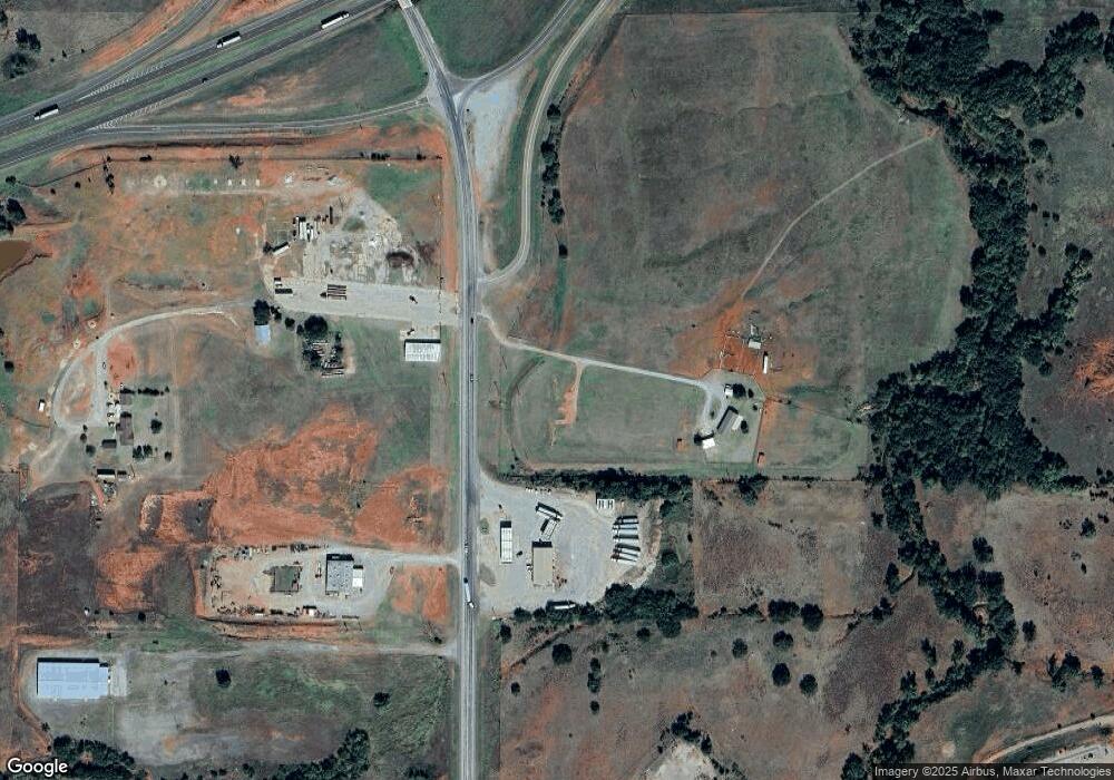
Map
Nearby Homes
- 409 W 5th St
- 21508 S Frontage Rd
- 0 Clinton Lake Road 38 Acres Rd Unit 1194486
- 0 I-40 Frontage Road 26 Acres
- 0 I-40 Frontage 37 Acres
- 10579 3151
- 17 E 1040 & Hwy 73 Rd
- 21553 Oklahoma 73
- 21238 Highway 73
- 0 N 2150 Rd Unit 1205196
- 412 Cherokee Trail Unit B
- 107 Cimarron Rd
- 207 Pioneer Way
- 306 Potomac Rd
- 0 E 1030 #8 Rd Unit 1081641
- 0 E 1030 #7 Rd Unit 1081642
- 0 E 1030 #10 Rd Unit 1081639
- 0 E 1030 #12 Rd Unit 1156403
- 0 E 1030 #11 Rd Unit 1156402
- 0 E 1030 #14 Rd Unit 1156406