10869 Dayton Lebanon Pike Dayton, OH 45458
--
Bed
--
Bath
--
Sq Ft
25.13
Acres
About This Home
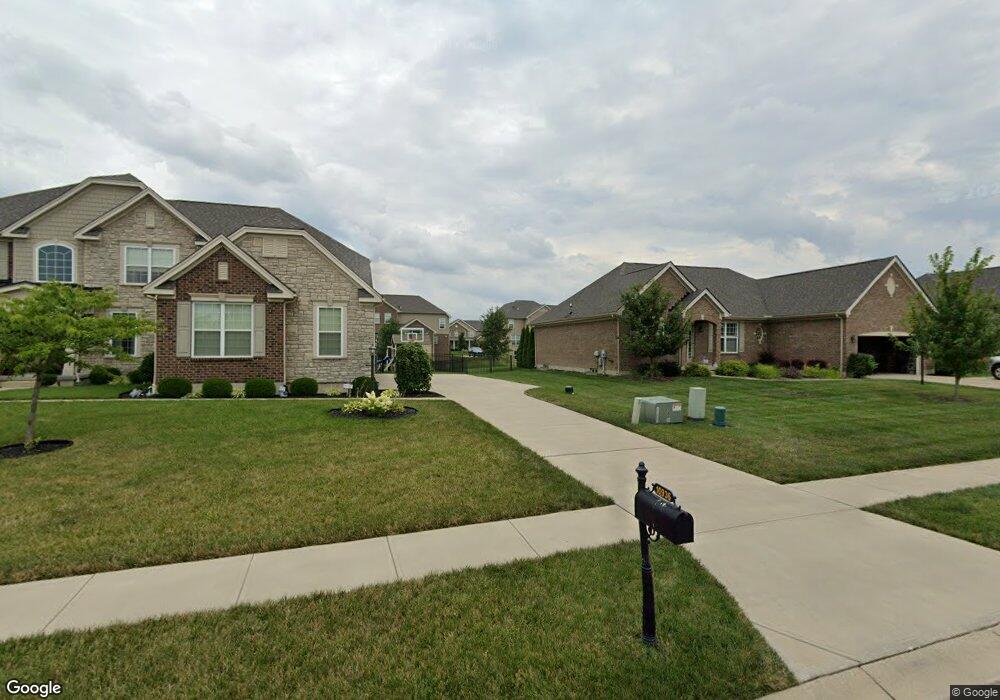
This home is located at 10869 Dayton Lebanon Pike, Dayton, OH 45458. 10869 Dayton Lebanon Pike is a home located in Montgomery County with nearby schools including Primary Village South, Weller Elementary School, and Magsig Middle School.
Ownership History
Date
Name
Owned For
Owner Type
Purchase Details
Closed on
Jun 30, 2010
Sold by
Generation 3 Llc
Bought by
Hills Land & Development Company
Home Financials for this Owner
Home Financials are based on the most recent Mortgage that was taken out on this home.
Original Mortgage
$10,000,000
Interest Rate
4.86%
Mortgage Type
Credit Line Revolving
Purchase Details
Closed on
Jun 26, 2008
Sold by
Generation 3 Llc
Bought by
Washington Township Park District Center
Purchase Details
Closed on
Oct 20, 2004
Sold by
Ensley Arthur T and Douple Holly E
Bought by
Generation 3 Llc
Purchase Details
Closed on
Oct 12, 2004
Sold by
Bank One Dayton Na
Bought by
Ensley Arthur T and Stover Sharon E
Purchase Details
Closed on
Jun 14, 2004
Sold by
Langer Ned L
Bought by
Bank One Dayton Na and William C Moore Trust
Create a Home Valuation Report for This Property
The Home Valuation Report is an in-depth analysis detailing your home's value as well as a comparison with similar homes in the area
Home Values in the Area
Average Home Value in this Area
Purchase History
| Date | Buyer | Sale Price | Title Company |
|---|---|---|---|
| Hills Land & Development Company | $255,800 | Attorney | |
| Washington Township Park District Center | -- | Attorney | |
| Generation 3 Llc | $2,132,400 | None Available | |
| Ensley Arthur T | -- | None Available | |
| Bank One Dayton Na | $192,000 | None Available |
Source: Public Records
Mortgage History
| Date | Status | Borrower | Loan Amount |
|---|---|---|---|
| Closed | Hills Land & Development Company | $10,000,000 | |
| Closed | Generation 3 Llc | $0 |
Source: Public Records
Tax History Compared to Growth
Tax History
| Year | Tax Paid | Tax Assessment Tax Assessment Total Assessment is a certain percentage of the fair market value that is determined by local assessors to be the total taxable value of land and additions on the property. | Land | Improvement |
|---|---|---|---|---|
| 2024 | $1 | $32,120 | $32,120 | -- |
| 2023 | $1 | $32,120 | $32,120 | $0 |
| 2022 | $1 | $32,120 | $32,120 | $0 |
| 2021 | $1 | $32,120 | $32,120 | $0 |
| 2020 | $1 | $32,120 | $32,120 | $0 |
| 2019 | $1 | $32,120 | $32,120 | $0 |
| 2018 | $1 | $32,120 | $32,120 | $0 |
| 2017 | $1 | $32,120 | $32,120 | $0 |
| 2016 | $1 | $32,120 | $32,120 | $0 |
| 2015 | $1 | $32,120 | $32,120 | $0 |
| 2014 | $1 | $32,120 | $32,120 | $0 |
| 2012 | -- | $22,700 | $22,700 | $0 |
Source: Public Records
Map
Nearby Homes
- 536 Hines Cir
- 10147 Kindle Dr
- 10139 Kindle Dr
- 1124 Petrus Ct
- 1235 Bourdeaux Way
- 543 Hines Cir
- 1123 Chambrey
- 719 Harvest Ln
- 1271 Bourdeaux Way
- 10001 Cobble Brook Dr
- 10520 Grand Vista Dr
- 1005 Mckinney Ln
- 1628 N Wood Creek Dr
- 963 Sweeney Dr
- 262 E Social Row Rd
- 10162 Chedworth Dr
- 1023 Mckinney Ln
- 476 Carrick Dr
- 590 Carrick Dr
- 1680 S Branch Rd
- 292 Summerford Place
- 288 Summerford Place
- 289 Summerford Place
- 284 Summerford Place
- 297 Summerford Place
- 10939 Bromsgrove Ct
- 10131 Morgan Grey Ct
- 280 Summerford Place
- 10935 Bromsgrove Ct
- 10140 Morgan Grey Ct
- 10118 Morgan Grey Ct
- 281 Summerford Place
- 2009 Morgan Grey Ct
- 10123 Morgan Grey Ct
- 10929 Bromsgrove Ct
- 10133 Morgan Grey Ct
- 10925 Bromsgrove Ct
- 10144 Morgan Grey Ct
- 10119 Morgan Grey Ct
- 10135 Morgan Grey Ct