1087 Potlatch Cir Unit 4 Anchorage, AK 99503
North Star NeighborhoodEstimated Value: $369,000 - $414,029
3
Beds
2
Baths
1,817
Sq Ft
$215/Sq Ft
Est. Value
About This Home
This home is located at 1087 Potlatch Cir Unit 4, Anchorage, AK 99503 and is currently estimated at $391,515, approximately $215 per square foot. 1087 Potlatch Cir Unit 4 is a home located in Anchorage Municipality with nearby schools including North Star Elementary School, Romig Middle School, and West High School.
Ownership History
Date
Name
Owned For
Owner Type
Purchase Details
Closed on
Dec 24, 1993
Sold by
Richter Jaroslav K
Bought by
Walleen Sharon Lyn
Current Estimated Value
Home Financials for this Owner
Home Financials are based on the most recent Mortgage that was taken out on this home.
Original Mortgage
$43,875
Interest Rate
7.2%
Mortgage Type
New Conventional
Create a Home Valuation Report for This Property
The Home Valuation Report is an in-depth analysis detailing your home's value as well as a comparison with similar homes in the area
Home Values in the Area
Average Home Value in this Area
Purchase History
| Date | Buyer | Sale Price | Title Company |
|---|---|---|---|
| Walleen Sharon Lyn | -- | -- |
Source: Public Records
Mortgage History
| Date | Status | Borrower | Loan Amount |
|---|---|---|---|
| Closed | Walleen Sharon Lyn | $43,875 |
Source: Public Records
Tax History Compared to Growth
Tax History
| Year | Tax Paid | Tax Assessment Tax Assessment Total Assessment is a certain percentage of the fair market value that is determined by local assessors to be the total taxable value of land and additions on the property. | Land | Improvement |
|---|---|---|---|---|
| 2025 | $2,189 | $364,100 | -- | $364,100 |
| 2024 | $2,189 | $360,600 | $0 | $360,600 |
| 2023 | $1,822 | $332,000 | $0 | $332,000 |
| 2022 | $1,984 | $317,800 | $0 | $317,800 |
| 2021 | $5,539 | $307,400 | $0 | $307,400 |
| 2020 | $1,556 | $292,700 | $0 | $292,700 |
| 2019 | $1,304 | $279,700 | $0 | $279,700 |
| 2018 | $1,524 | $292,900 | $0 | $292,900 |
| 2017 | $1,934 | $293,500 | $0 | $293,500 |
| 2016 | $1,450 | $289,500 | $0 | $289,500 |
| 2015 | $1,450 | $295,100 | $0 | $295,100 |
| 2014 | $1,450 | $282,300 | $0 | $282,300 |
Source: Public Records
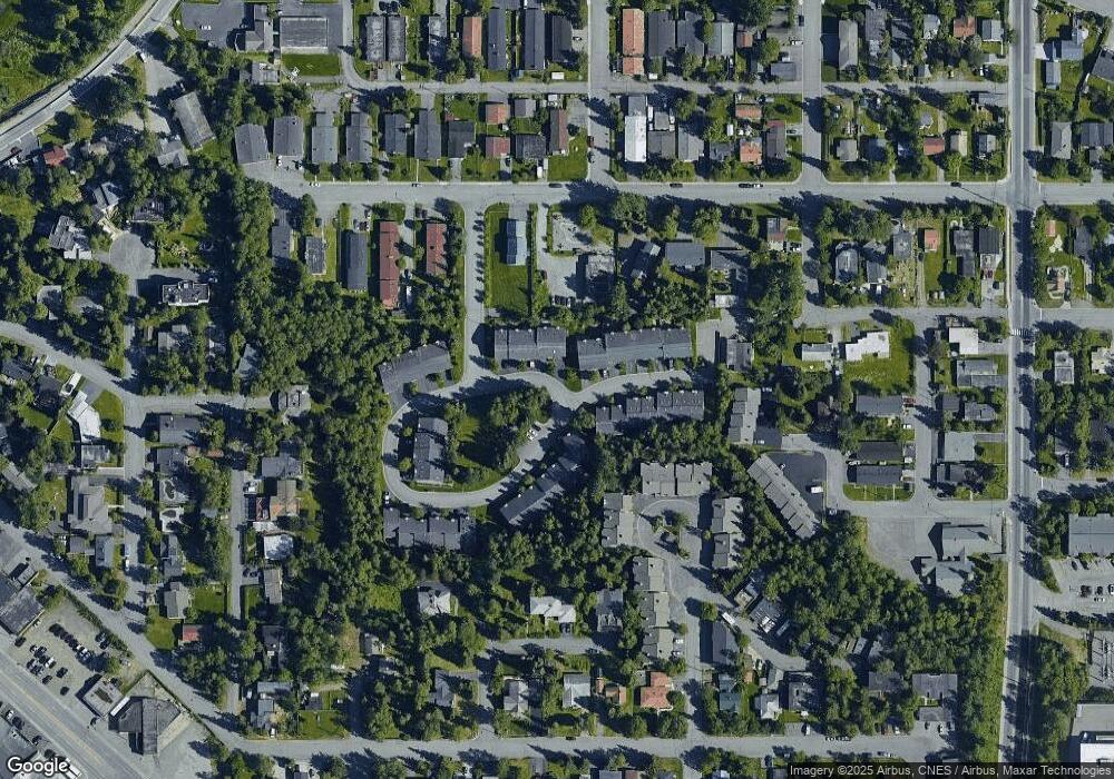
Map
Nearby Homes
- 1024 Potlatch Cir Unit 23
- 1945 Spenard Rd
- 1113 W Fireweed Ln Unit 505
- 1113 W Fireweed Ln Unit 204
- 827 W 20th Ave
- 1001 W Fireweed Ln
- 2201 Romig Place Unit 105
- 1327 W 25th Ave Unit 218
- 1016 W 25th Ave
- 1435 W 25th Ave
- 1441 W 26th Ave Unit B3
- 2140 Dawson St
- 710 W 16th Ave
- 1471 W 26th Ave
- 2607 Arctic Blvd
- 1501 P St
- 1010 W 29th Place
- 1102 W 29th Ave
- 808 W 29th Place
- 000 Dawson St
- 1091 Potlatch Cir Unit 5
- 1083 Potlatch Cir Unit 3
- 1087 Potlatch Cir Unit 2
- 1075 Potlatch Cir Unit 1
- 1079 Potlatch Cir Unit 2
- 1109 Potlatch Cir Unit 8
- 1105 Potlatch Cir Unit 7
- 1101 Potlatch Cir Unit 6
- 1113 Potlatch Cir Unit 9
- 1046 W 20th Ave
- 1034 W 20th Ave
- 1053 Potlatch Cir Unit 42
- 1049 Potlatch Cir Unit 41
- 1045 Potlatch Cir Unit 40
- 1041 Potlatch Cir Unit 39
- 1037 Potlatch Cir Unit 38
- 1100 Hillcrest Dr
- 1121 Hillcrest Dr
- 1012 W 20th Ave
- 1100 W 20th Ave