1087 Sunnyside Dr Unit 23 Wayland, MI 49348
Estimated Value: $191,000 - $298,000
3
Beds
2
Baths
848
Sq Ft
$288/Sq Ft
Est. Value
About This Home
This home is located at 1087 Sunnyside Dr Unit 23, Wayland, MI 49348 and is currently estimated at $244,086, approximately $287 per square foot. 1087 Sunnyside Dr Unit 23 is a home located in Allegan County with nearby schools including Wayland High School, Moline Christian School, and St. Therese Catholic School.
Ownership History
Date
Name
Owned For
Owner Type
Purchase Details
Closed on
Mar 30, 2021
Sold by
D & N Suwyn Llc
Bought by
Suwyn Karley
Current Estimated Value
Home Financials for this Owner
Home Financials are based on the most recent Mortgage that was taken out on this home.
Original Mortgage
$118,750
Outstanding Balance
$107,217
Interest Rate
3%
Mortgage Type
New Conventional
Estimated Equity
$136,869
Purchase Details
Closed on
May 14, 2010
Sold by
Fifth Third Bank
Bought by
D & N Suwyn Llc
Home Financials for this Owner
Home Financials are based on the most recent Mortgage that was taken out on this home.
Original Mortgage
$60,000
Interest Rate
5.14%
Mortgage Type
Credit Line Revolving
Purchase Details
Closed on
Oct 16, 2009
Sold by
Holwerda Builders Llc
Bought by
Fifth Third Bank
Create a Home Valuation Report for This Property
The Home Valuation Report is an in-depth analysis detailing your home's value as well as a comparison with similar homes in the area
Home Values in the Area
Average Home Value in this Area
Purchase History
| Date | Buyer | Sale Price | Title Company |
|---|---|---|---|
| Suwyn Karley | -- | First American Title Ins Co | |
| D & N Suwyn Llc | $56,000 | Stewart Title | |
| Fifth Third Bank | -- | Owners Title Agency |
Source: Public Records
Mortgage History
| Date | Status | Borrower | Loan Amount |
|---|---|---|---|
| Open | Suwyn Karley | $118,750 | |
| Previous Owner | D & N Suwyn Llc | $60,000 |
Source: Public Records
Tax History Compared to Growth
Tax History
| Year | Tax Paid | Tax Assessment Tax Assessment Total Assessment is a certain percentage of the fair market value that is determined by local assessors to be the total taxable value of land and additions on the property. | Land | Improvement |
|---|---|---|---|---|
| 2025 | $1,583 | $95,900 | $8,000 | $87,900 |
| 2024 | $1,465 | $90,400 | $8,000 | $82,400 |
| 2023 | $1,465 | $82,200 | $8,000 | $74,200 |
| 2022 | $1,465 | $76,700 | $8,000 | $68,700 |
| 2021 | $2,104 | $69,400 | $6,000 | $63,400 |
| 2020 | $2,104 | $66,400 | $6,000 | $60,400 |
| 2019 | $2,053 | $64,900 | $10,000 | $54,900 |
| 2018 | $1,990 | $61,900 | $8,000 | $53,900 |
| 2017 | $0 | $55,200 | $8,000 | $47,200 |
| 2016 | $0 | $41,000 | $5,000 | $36,000 |
| 2015 | -- | $41,000 | $5,000 | $36,000 |
| 2014 | -- | $36,300 | $2,500 | $33,800 |
| 2013 | $2,523 | $34,500 | $2,500 | $32,000 |
Source: Public Records
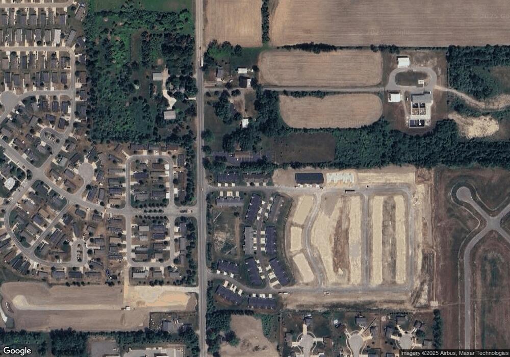
Map
Nearby Homes
- 4273 Highpoint Dr Unit 112
- Unit 111 Highpoint Dr
- 4274 Butternut Dr
- 4316 Sussex Place
- Lot 142 Butternut Dr
- Lot 141 Butternut Dr
- 4249 Butternut Dr
- 4240 Butternut Dr
- Vienna Plan at Harvest Meadows
- Charlotte Plan at Harvest Meadows
- Sierra Plan at Harvest Meadows
- Karolynn Plan at Harvest Meadows
- Reno Plan at Harvest Meadows
- Bayberry Plan at Harvest Meadows
- Freedom Plan at Harvest Meadows
- London Plan at Harvest Meadows
- Hampton Plan at Harvest Meadows
- Oxford Plan at Harvest Meadows
- 4245 Butternut Dr
- 4243 Butternut Dr
- 1089 Sunnyside Dr Unit 24
- 1085 Sunnyside Dr Unit 22
- 1083 Sunnyside Dr Unit 21
- Unit 55 Sunnyside Dr Unit 55
- Unit 53 Sunnyside Dr
- 1061 Sunnyside Dr Unit 56
- 1067 Sunnyside Dr
- 1093 Sunnyside Dr Unit 25
- 1063 Sunnyside Dr Unit 55
- 1069 Sunnyside Dr
- 1071 Sunnyside Dr
- 1073 Sunnyside Dr
- 4294 Cidermill Dr Unit 32
- 1095 Sunnyside Dr Unit 26
- 1090 Sunnyside Dr
- 4292 Cidermill Dr Unit 33
- 1092 Sunnyside Dr
- 1092 Sunnyside Dr Unit 22
- 4303 Division St
- 4295 Cidermill Dr Unit 20