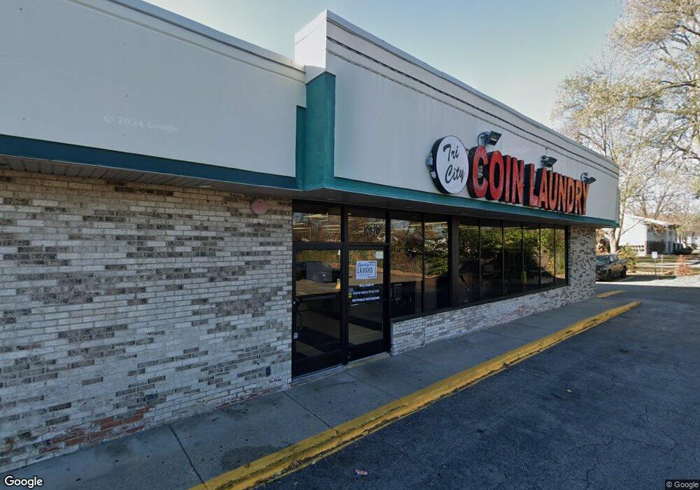
10870 Beech Daly Rd Taylor, MI 48180
Estimated Value: $987,817
Studio
--
Bath
1,200
Sq Ft
$823/Sq Ft
Est. Value
About This Home
This home is located at 10870 Beech Daly Rd, Taylor, MI 48180 and is currently estimated at $987,817, approximately $823 per square foot. 10870 Beech Daly Rd is a home located in Wayne County with nearby schools including Holland Elementary School, Hoover Middle School, and Taylor High School.
Ownership History
Date
Name
Owned For
Owner Type
Purchase Details
Closed on
Dec 9, 2021
Sold by
Taylor Shopping Center Investment Llc
Bought by
Taylor Shopping Center A & A Llc
Current Estimated Value
Purchase Details
Closed on
Dec 12, 2019
Sold by
Meg Investment Inc
Bought by
Taylor Shopping Center Investment Llc
Create a Home Valuation Report for This Property
The Home Valuation Report is an in-depth analysis detailing your home's value as well as a comparison with similar homes in the area
Home Values in the Area
Average Home Value in this Area
Purchase History
| Date | Buyer | Sale Price | Title Company |
|---|---|---|---|
| Taylor Shopping Center A & A Llc | -- | Devon Title Agency | |
| Taylor Shopping Center Investment Llc | $650,000 | Devon Title Agency |
Source: Public Records
Mortgage History
| Date | Status | Borrower | Loan Amount |
|---|---|---|---|
| Closed | Taylor Shopping Center A & A Llc | $0 |
Source: Public Records
Tax History
| Year | Tax Paid | Tax Assessment Tax Assessment Total Assessment is a certain percentage of the fair market value that is determined by local assessors to be the total taxable value of land and additions on the property. | Land | Improvement |
|---|---|---|---|---|
| 2025 | $20,691 | $389,700 | $0 | $0 |
| 2024 | $20,092 | $349,900 | $0 | $0 |
| 2023 | $22,537 | $318,900 | $0 | $0 |
| 2022 | $18,899 | $297,200 | $0 | $0 |
| 2021 | $20,012 | $285,500 | $0 | $0 |
| 2020 | $19,987 | $282,300 | $0 | $0 |
| 2019 | $1,632,565 | $220,200 | $0 | $0 |
| 2018 | $17,163 | $288,900 | $0 | $0 |
| 2017 | $6,865 | $338,300 | $0 | $0 |
| 2016 | $20,168 | $338,300 | $0 | $0 |
| 2015 | $27,223 | $338,300 | $0 | $0 |
| 2013 | $26,372 | $336,600 | $0 | $0 |
| 2012 | $14,129 | $341,900 | $52,900 | $289,000 |
Source: Public Records
Map
Nearby Homes
- 0 Goddard Unit 20251010304
- 25790 Madden St
- 25519 Rusty St
- 25556 Rusty St
- 26376 Partridge Dr Unit 89
- 26400 Partridge Dr Unit 88
- 11098 Partridge Dr Unit 12
- 11098 Partridge Dr
- 10352 Gulley St
- 11516 Pheasant Cir
- 11216 Cape Cod St
- 11693 Partridge Dr Unit 38
- 11693 Partridge Dr
- 11890 Partridge Dr Unit 91
- 11737 Partridge Dr Unit 70
- 11825 Partridge Dr Unit 74
- 11847 Partridge Dr Unit 75
- 11715 Partridge Dr Unit 69
- 25112 Madden St
- 10935 Westlake St
- 10870 Beech Daly Rd Unit 10886
- 10894 Beech Daly Rd
- 10890 Beech Daly Rd
- 10950 Beech Daly Rd
- 25830 Goddard Rd
- 26353 Pheasant Cir Unit 42
- 10865 Beech Daly Rd
- 11011 Coventry Ct Unit 25
- 11041 Coventry Ct Unit 27
- 10851 Beech Daly Rd
- 10750 Mount Vernon St
- 10750 Mount Vernon St
- 11020 Coventry Ct Unit 43
- 0 Goddard Unit 218041266
- 0 Goddard Unit 218005273
- 0 Goddard Unit 216014970
- 0 Goddard Unit 4972070
- 0 Goddard Unit 4392117
- 0 Goddard Unit 4910238
- 0 Goddard Unit 4921045
Your Personal Tour Guide
Ask me questions while you tour the home.