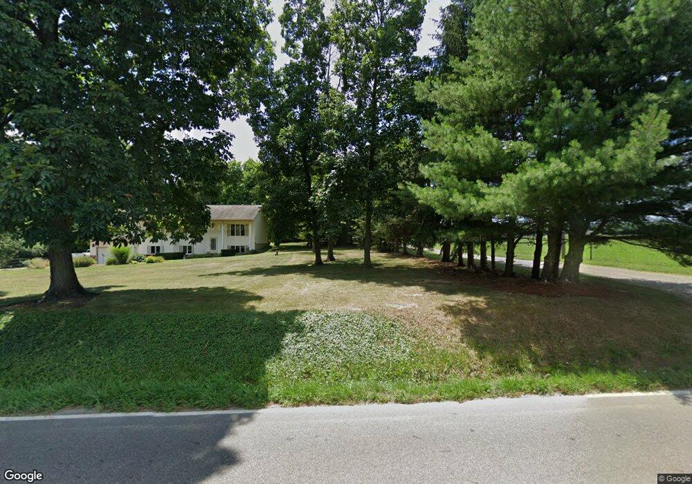
10870 Beech St NE Alliance, OH 44601
Estimated Value: $183,000 - $329,000
3
Beds
2
Baths
1,496
Sq Ft
$175/Sq Ft
Est. Value
About This Home
This home is located at 10870 Beech St NE, Alliance, OH 44601 and is currently estimated at $261,146, approximately $174 per square foot. 10870 Beech St NE is a home located in Stark County with nearby schools including Louisville High School.
Ownership History
Date
Name
Owned For
Owner Type
Purchase Details
Closed on
Apr 22, 2025
Sold by
Linder Richard L
Bought by
Richard Linder Family Irrevocable Trust and Barstow
Current Estimated Value
Purchase Details
Closed on
Jul 28, 2017
Sold by
Linder Richard L
Bought by
Linder Richard L
Purchase Details
Closed on
Jan 29, 2007
Sold by
Smith Brenda K
Bought by
Linder Richard
Purchase Details
Closed on
Jan 29, 2002
Sold by
Linder Luella and Linder Lena
Bought by
Linder Richard L
Purchase Details
Closed on
Dec 8, 2000
Sold by
Linder Linda
Bought by
Linder Richard
Create a Home Valuation Report for This Property
The Home Valuation Report is an in-depth analysis detailing your home's value as well as a comparison with similar homes in the area
Home Values in the Area
Average Home Value in this Area
Purchase History
| Date | Buyer | Sale Price | Title Company |
|---|---|---|---|
| Richard Linder Family Irrevocable Trust | -- | None Listed On Document | |
| Linder Richard L | -- | None Available | |
| Linder Richard | $88,000 | Attorney | |
| Linder Richard L | $29,200 | -- | |
| Linder Richard | $41,900 | -- |
Source: Public Records
Tax History Compared to Growth
Tax History
| Year | Tax Paid | Tax Assessment Tax Assessment Total Assessment is a certain percentage of the fair market value that is determined by local assessors to be the total taxable value of land and additions on the property. | Land | Improvement |
|---|---|---|---|---|
| 2025 | -- | $90,655 | $44,035 | $46,620 |
| 2024 | -- | $90,655 | $44,035 | $46,620 |
| 2023 | $2,375 | $79,350 | $33,220 | $46,130 |
| 2022 | $2,398 | $57,860 | $11,730 | $46,130 |
| 2021 | $2,348 | $56,710 | $11,730 | $44,980 |
| 2020 | $1,969 | $51,660 | $10,990 | $40,670 |
| 2019 | $1,995 | $51,650 | $10,970 | $40,680 |
| 2018 | $1,989 | $51,650 | $10,970 | $40,680 |
| 2017 | $1,781 | $45,370 | $11,660 | $33,710 |
Source: Public Records
Map
Nearby Homes
- 0 Moulin Ave NE
- 0 Valewood Cir Unit 5006281
- 6109 Oakhill Ave NE
- 0 Reeder Ave NE
- 5990 Meese Rd NE
- 2435 Queensbury Rd
- 2851 Patriots Path Unit 3D
- 12222 Cenfield St NE
- 5765 Maplegrove St
- 2377 Ansley St Unit 2377
- 0 Easton St NE
- 6052 N Nickelplate St
- 5495 Meese Rd NE
- 7844 Morningstar Dr
- 1430 Westwood Ave
- 2081 Marwood Cir
- 0 Winchester St
- 0 Winchester St Unit 5162877
- 10666 Wilma Ave NE
- 2220 Western Ave
- 10822 Beech St NE
- 10790 Beech St NE
- 10819 Beech St NE
- 10733 Beech St NE
- 7955 Parks Ave NE
- 11059 Beech St NE
- 7695 Parks Ave NE
- 0 Beech St NE Unit 3643090
- 0 Beech St NE Unit 3683138
- 0 Beech St NE Unit 5113138
- 0 Beech St NE Unit 5028504
- 0 Beech St NE Unit 4479401
- 0 Beech St NE Unit 4479397
- 0 Beech St NE Unit 4420978
- 0 Beech St NE Unit 4278498
- 0 Beech St NE Unit 4066523
- 0 Beech St NE Unit 4052481
- 10685 Beech St NE
- 8000 Parks Ave NE
- 10650 Beech St NE