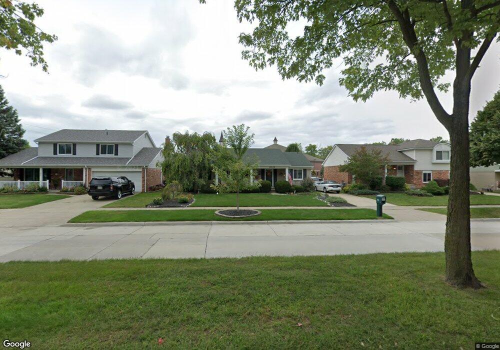
10870 Continental Dr Taylor, MI 48180
Estimated Value: $217,872 - $304,000
Studio
--
Bath
1,234
Sq Ft
$219/Sq Ft
Est. Value
About This Home
This home is located at 10870 Continental Dr, Taylor, MI 48180 and is currently estimated at $269,718, approximately $218 per square foot. 10870 Continental Dr is a home located in Wayne County with nearby schools including Holland Elementary School, Hoover Middle School, and Taylor High School.
Ownership History
Date
Name
Owned For
Owner Type
Purchase Details
Closed on
Feb 24, 2012
Sold by
Musser Catherine M and Hughes Catherine M
Bought by
Hughes Catherine M
Current Estimated Value
Home Financials for this Owner
Home Financials are based on the most recent Mortgage that was taken out on this home.
Original Mortgage
$81,750
Outstanding Balance
$56,530
Interest Rate
4.01%
Mortgage Type
New Conventional
Estimated Equity
$213,188
Purchase Details
Closed on
Oct 9, 1995
Sold by
Catherine M Musser
Bought by
Catherine M Musser
Create a Home Valuation Report for This Property
The Home Valuation Report is an in-depth analysis detailing your home's value as well as a comparison with similar homes in the area
Home Values in the Area
Average Home Value in this Area
Purchase History
| Date | Buyer | Sale Price | Title Company |
|---|---|---|---|
| Hughes Catherine M | -- | Complete Title Services Of S | |
| Catherine M Musser | $99,900 | -- |
Source: Public Records
Mortgage History
| Date | Status | Borrower | Loan Amount |
|---|---|---|---|
| Open | Hughes Catherine M | $81,750 |
Source: Public Records
Tax History
| Year | Tax Paid | Tax Assessment Tax Assessment Total Assessment is a certain percentage of the fair market value that is determined by local assessors to be the total taxable value of land and additions on the property. | Land | Improvement |
|---|---|---|---|---|
| 2025 | $2,306 | $118,700 | $0 | $0 |
| 2024 | $2,233 | $100,300 | $0 | $0 |
| 2023 | $2,725 | $90,800 | $0 | $0 |
| 2022 | $2,131 | $81,900 | $0 | $0 |
| 2021 | $2,398 | $75,900 | $0 | $0 |
| 2020 | $2,377 | $70,200 | $0 | $0 |
| 2019 | $237,858 | $66,700 | $0 | $0 |
| 2018 | $1,830 | $58,300 | $0 | $0 |
| 2017 | $1,122 | $55,700 | $0 | $0 |
| 2016 | $2,327 | $54,100 | $0 | $0 |
| 2015 | $4,135 | $46,500 | $0 | $0 |
| 2013 | $4,120 | $41,900 | $0 | $0 |
| 2012 | $1,794 | $41,500 | $15,300 | $26,200 |
Source: Public Records
Map
Nearby Homes
- 0 Goddard Unit 20251010304
- 11098 Partridge Dr Unit 12
- 11098 Partridge Dr
- 26376 Partridge Dr Unit 89
- 26400 Partridge Dr Unit 88
- 25790 Madden St
- 11516 Pheasant Cir
- 11693 Partridge Dr Unit 38
- 11693 Partridge Dr
- 11890 Partridge Dr Unit 91
- 11737 Partridge Dr Unit 70
- 11825 Partridge Dr Unit 74
- 11847 Partridge Dr Unit 75
- 11715 Partridge Dr Unit 69
- 25519 Rusty St
- 26336 Kinyon St
- 25556 Rusty St
- 10352 Gulley St
- 9717 Rose St
- 25112 Madden St
- 10858 Continental Dr
- 10884 Continental Dr
- 10846 Continental Dr
- 10834 Continental Dr
- 10869 Continental Dr
- 10883 Continental Dr
- 10857 Continental Dr
- 10845 Continental Dr
- 10822 Continental Dr
- 10833 Continental Dr
- 26131 Goddard Rd
- 10810 Continental Dr
- 26111 Goddard Rd
- 10821 Continental Dr
- 26103 Goddard Rd
- 10698 Continental Dr
- 10809 Continental Dr
- 26053 Goddard Rd
- 10697 Continental Dr
- 0 Goddard Unit 4958982
Your Personal Tour Guide
Ask me questions while you tour the home.