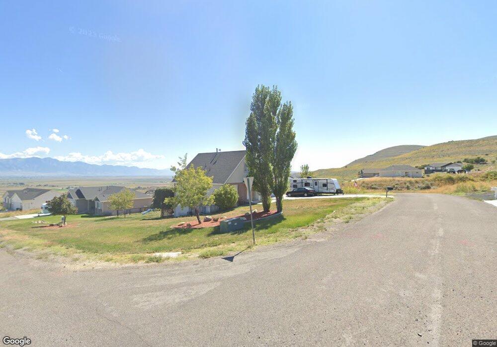
10870 N Anderson Way Tremonton, UT 84337
Estimated Value: $459,000 - $553,000
6
Beds
3
Baths
3,125
Sq Ft
$156/Sq Ft
Est. Value
About This Home
This home is located at 10870 N Anderson Way, Tremonton, UT 84337 and is currently estimated at $488,175, approximately $156 per square foot. 10870 N Anderson Way is a home located in Box Elder County with nearby schools including Garland School, Alice C. Harris Intermediate School, and Bear River Middle School.
Ownership History
Date
Name
Owned For
Owner Type
Purchase Details
Closed on
Apr 23, 2018
Sold by
Jessop Joseph L and Jessop Maribeth
Bought by
Hillam Jeremy L and Hillam Kyla L
Current Estimated Value
Home Financials for this Owner
Home Financials are based on the most recent Mortgage that was taken out on this home.
Original Mortgage
$237,405
Outstanding Balance
$204,164
Interest Rate
4.44%
Mortgage Type
New Conventional
Estimated Equity
$284,011
Purchase Details
Closed on
Mar 21, 2006
Sold by
Avery Matthew
Bought by
Jessop Joseph L and Jessop Maribeth
Home Financials for this Owner
Home Financials are based on the most recent Mortgage that was taken out on this home.
Original Mortgage
$189,900
Interest Rate
6.87%
Mortgage Type
Adjustable Rate Mortgage/ARM
Create a Home Valuation Report for This Property
The Home Valuation Report is an in-depth analysis detailing your home's value as well as a comparison with similar homes in the area
Home Values in the Area
Average Home Value in this Area
Purchase History
| Date | Buyer | Sale Price | Title Company |
|---|---|---|---|
| Hillam Jeremy L | -- | American Secure Title Brigha | |
| Jessop Joseph L | -- | None Available |
Source: Public Records
Mortgage History
| Date | Status | Borrower | Loan Amount |
|---|---|---|---|
| Open | Hillam Jeremy L | $237,405 | |
| Previous Owner | Jessop Joseph L | $189,900 |
Source: Public Records
Tax History Compared to Growth
Tax History
| Year | Tax Paid | Tax Assessment Tax Assessment Total Assessment is a certain percentage of the fair market value that is determined by local assessors to be the total taxable value of land and additions on the property. | Land | Improvement |
|---|---|---|---|---|
| 2025 | $2,015 | $451,948 | $120,000 | $331,948 |
| 2024 | $2,015 | $448,763 | $120,000 | $328,763 |
| 2023 | $2,097 | $472,082 | $120,000 | $352,082 |
| 2022 | $2,045 | $238,744 | $22,000 | $216,744 |
| 2021 | $1,658 | $261,513 | $23,000 | $238,513 |
| 2020 | $1,423 | $261,513 | $23,000 | $238,513 |
| 2019 | $1,257 | $121,969 | $12,650 | $109,319 |
| 2018 | $1,188 | $107,709 | $12,650 | $95,059 |
| 2017 | $1,231 | $0 | $0 | $0 |
| 2016 | $1,170 | $103,183 | $12,650 | $90,533 |
| 2015 | $1,043 | $94,953 | $12,650 | $82,303 |
| 2014 | $1,043 | $91,033 | $12,650 | $78,383 |
| 2013 | -- | $83,907 | $12,650 | $71,257 |
Source: Public Records
Map
Nearby Homes
- 10965 N Wallace Ln
- Stanton Plan at Marble Hills
- Xavier Plan at Marble Hills
- Somerley Plan at Marble Hills
- Northfield Plan at Marble Hills
- Norfolk Plan at Marble Hills
- Knighton Plan at Marble Hills
- Kensington Plan at Marble Hills
- Denford Plan at Marble Hills
- Edgeworth Plan at Marble Hills
- Clearpoint Plan at Marble Hills
- Canyon Plan at Marble Hills
- Cambria Plan at Marble Hills
- Berrington Plan at Marble Hills
- Brantwood Plan at Marble Hills
- Ashland Plan at Marble Hills
- 10645 N 10800 W Unit 1
- 9530 N 11600 W
- 13464 N 10800 W Unit 4
- 229 W 1470 S Unit 44
- 12487 W Wallace Ln
- 12498 W Wallace Ln
- 12535 W Wallace Ln
- 12498 W Wallace Ln Unit 98
- 12498 W Wallace Ln
- 12478 W Wallace Ln
- 12465 W Wallace Ln
- 12530 N Wallace Ln
- 12536 W Wallace Ln
- 10825 N Anderson Way
- 10931 Anderson Way
- 10830 N Anderson Way
- 10846 N Krista Cir Unit 13
- 10893 N Wallace Ln
- 12530 Bingham Dr
- 10944 Anderson Way
- 10930 Cullimore Ln
- 12450 Bingham Dr
- 10870 N Krista Cir
- 10945 N Anderson Way Unit 115