10870 Robbins Rd Springport, MI 49284
Estimated Value: $175,000 - $419,000
3
Beds
2
Baths
1,440
Sq Ft
$170/Sq Ft
Est. Value
About This Home
This home is located at 10870 Robbins Rd, Springport, MI 49284 and is currently estimated at $245,067, approximately $170 per square foot. 10870 Robbins Rd is a home located in Jackson County with nearby schools including Springport Elementary School, Springport Middle School, and Springport High School.
Ownership History
Date
Name
Owned For
Owner Type
Purchase Details
Closed on
Apr 14, 1999
Sold by
Allen Warren D and Allen Hanne S
Bought by
Tobey Joseph A
Current Estimated Value
Home Financials for this Owner
Home Financials are based on the most recent Mortgage that was taken out on this home.
Original Mortgage
$75,600
Outstanding Balance
$19,239
Interest Rate
7.1%
Mortgage Type
Purchase Money Mortgage
Estimated Equity
$225,828
Create a Home Valuation Report for This Property
The Home Valuation Report is an in-depth analysis detailing your home's value as well as a comparison with similar homes in the area
Purchase History
| Date | Buyer | Sale Price | Title Company |
|---|---|---|---|
| Tobey Joseph A | $84,000 | Midstate Title Company |
Source: Public Records
Mortgage History
| Date | Status | Borrower | Loan Amount |
|---|---|---|---|
| Open | Tobey Joseph A | $75,600 |
Source: Public Records
Tax History
| Year | Tax Paid | Tax Assessment Tax Assessment Total Assessment is a certain percentage of the fair market value that is determined by local assessors to be the total taxable value of land and additions on the property. | Land | Improvement |
|---|---|---|---|---|
| 2025 | $3,117 | $78,700 | $0 | $0 |
| 2024 | $6 | $72,000 | $0 | $0 |
| 2023 | $606 | $67,200 | $0 | $0 |
| 2022 | $1,529 | $73,300 | $0 | $0 |
| 2021 | $2,176 | $73,300 | $0 | $0 |
| 2020 | $659 | $72,500 | $0 | $0 |
| 2019 | $2,109 | $63,000 | $0 | $0 |
| 2018 | $2,067 | $56,600 | $0 | $0 |
| 2017 | $1,954 | $55,200 | $0 | $0 |
| 2016 | $620 | $55,200 | $0 | $55,200 |
| 2015 | -- | $57,600 | $57,600 | $0 |
| 2014 | -- | $61,100 | $61,100 | $0 |
| 2013 | -- | $61,100 | $61,100 | $0 |
Source: Public Records
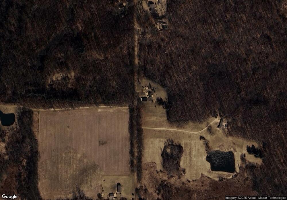
Map
Nearby Homes
- 12261 Pope Church Rd
- 13025 Pope Church Rd
- 9761 Brown Rd
- 10870 Eaton Rapids Rd
- 9673 Spartan Ln
- 598 E Main St
- 279 York Harbor Unit 34
- 9733 Blue Heron
- 252 Bay Port Cir Unit 19
- 216 Bayport Cir Unit 10
- 0 Springport Rd
- 12011 Hopcraft Rd
- 330 Grand St
- 9890 Springport Rd
- 8840 Houston Rd
- 6947 Brown Rd
- 6950 Brown Rd
- 12247 Onondaga Rd
- 12579 Onondaga Rd
- 6488 N Parma Rd
- 10899 Robbins Rd
- 10848 Robbins Rd
- 10848 Robbins Rd
- 10725 Robbins Rd
- 10917 Robbins Rd
- 10991 Robbins Rd
- 12770 Prine Rd
- 11000 Robbins Rd
- 11030 Robbins Rd
- 12994 Prine Rd
- 12405 Prine Rd
- 10451 Robbins Rd
- 12341 Prine Rd
- 12397 Prine Rd
- 11040 Robbins Rd
- 11040 Robbins Rd
- 11040 Robbins Rd
- 10435 Robbins Rd
- 10363 Robbins Rd
Your Personal Tour Guide
Ask me questions while you tour the home.