108708 S 4290 Rd Checotah, OK 74426
Estimated Value: $344,000 - $420,000
2
Beds
1
Bath
1,256
Sq Ft
$306/Sq Ft
Est. Value
About This Home
This home is located at 108708 S 4290 Rd, Checotah, OK 74426 and is currently estimated at $384,673, approximately $306 per square foot. 108708 S 4290 Rd is a home located in McIntosh County with nearby schools including Marshall Elementary School, Checotah Intermediate Elementary School, and Checotah Middle School.
Ownership History
Date
Name
Owned For
Owner Type
Purchase Details
Closed on
Jan 7, 2022
Sold by
Wayne Rowell Ii Pierson
Bought by
Double H Dairy Inc
Current Estimated Value
Purchase Details
Closed on
Dec 13, 2021
Sold by
Cathy Byington
Bought by
Rowell Pierson Wayne
Purchase Details
Closed on
Jan 15, 2019
Sold by
Morin Betty S
Bought by
Rowell Pierson Wayne
Purchase Details
Closed on
Dec 18, 2007
Sold by
The United States Of America
Bought by
Morin Betty Sue
Purchase Details
Closed on
Apr 25, 2000
Sold by
Crowell
Bought by
Anson
Purchase Details
Closed on
Aug 27, 1992
Create a Home Valuation Report for This Property
The Home Valuation Report is an in-depth analysis detailing your home's value as well as a comparison with similar homes in the area
Home Values in the Area
Average Home Value in this Area
Purchase History
| Date | Buyer | Sale Price | Title Company |
|---|---|---|---|
| Double H Dairy Inc | $310,000 | Nations Title | |
| Rowell Pierson Wayne | -- | None Listed On Document | |
| Rowell Pierson Wayne | -- | None Available | |
| Morin Betty Sue | -- | None Available | |
| Anson | $111,000 | -- | |
| -- | $70,000 | -- |
Source: Public Records
Tax History Compared to Growth
Tax History
| Year | Tax Paid | Tax Assessment Tax Assessment Total Assessment is a certain percentage of the fair market value that is determined by local assessors to be the total taxable value of land and additions on the property. | Land | Improvement |
|---|---|---|---|---|
| 2024 | $901 | $10,662 | $1,443 | $9,219 |
| 2023 | $901 | $10,150 | $1,443 | $8,707 |
| 2022 | $723 | $9,401 | $1,443 | $7,958 |
| 2021 | $1,026 | $11,816 | $1,443 | $10,373 |
| 2020 | $1,136 | $11,816 | $1,443 | $10,373 |
| 2019 | $1,129 | $11,816 | $1,443 | $10,373 |
| 2018 | $1,121 | $11,817 | $1,443 | $10,374 |
| 2017 | $1,155 | $12,257 | $1,193 | $11,064 |
| 2016 | $1,177 | $12,208 | $1,193 | $11,015 |
| 2015 | $1,144 | $11,852 | $1,193 | $10,659 |
| 2014 | $1,141 | $11,852 | $1,193 | $10,659 |
Source: Public Records
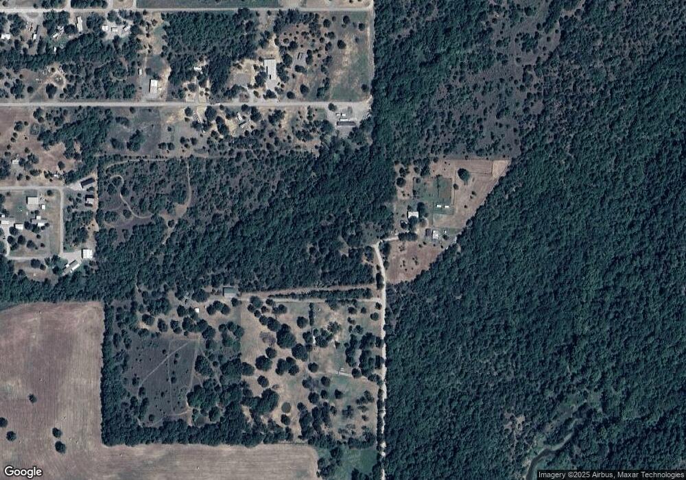
Map
Nearby Homes
- 114278 S 4203 Rd
- 111800 E 4285 Lot 59 Rd
- 111800 East Rd
- 111800 E 4285 Lot 58 Rd
- 111800 E 4285 Rd
- 279 E 1120 Rd
- 427996 E 1050 Rd
- 425365 Hwy 266
- 0 266 Hwy Unit 1193604
- 0 E 1132 Rd Unit 2518126
- 3998 E 173rd St S
- 113136 N 4287 Rd
- 113233 S 4289 Rd
- 10 E 1133 Rd
- 13 E 1133 Rd
- 15360 Ash Rd
- 424600 E 1104 Rd
- 0 N 4270 Rd Unit 2507488
- 113468 S 4299
- 113872 S 4286 Rd