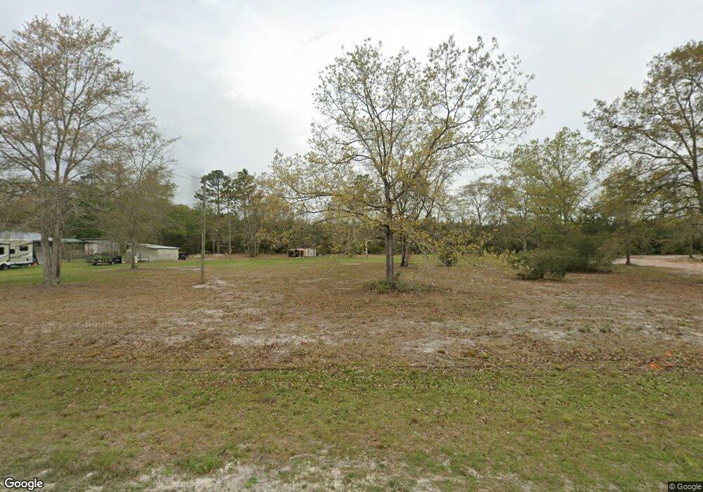
10875 Browntown Rd Hortense, GA 31543
Estimated Value: $24,893 - $164,000
--
Bed
--
Bath
--
Sq Ft
1.07
Acres
About This Home
This home is located at 10875 Browntown Rd, Hortense, GA 31543 and is currently estimated at $103,631. 10875 Browntown Rd is a home with nearby schools including Waynesville Primary School, Atkinson Elementary School, and Brantley County Middle School.
Ownership History
Date
Name
Owned For
Owner Type
Purchase Details
Closed on
Jan 22, 2024
Sold by
Elliott Jennie E
Bought by
Mallard Jeffery L and Mallard Pamela A
Current Estimated Value
Purchase Details
Closed on
Feb 7, 2012
Sold by
Tanner Quitman
Bought by
Elliott Jennie E
Home Financials for this Owner
Home Financials are based on the most recent Mortgage that was taken out on this home.
Original Mortgage
$9,600
Interest Rate
3.91%
Mortgage Type
New Conventional
Purchase Details
Closed on
Aug 16, 2011
Sold by
Green Tree Servicing Llc
Bought by
Tanner Quitman and Tanner Pennie
Purchase Details
Closed on
May 10, 2011
Sold by
Fusner Robert E and Fusner Teresa J
Bought by
Green Tree Servicing Llc
Create a Home Valuation Report for This Property
The Home Valuation Report is an in-depth analysis detailing your home's value as well as a comparison with similar homes in the area
Home Values in the Area
Average Home Value in this Area
Purchase History
| Date | Buyer | Sale Price | Title Company |
|---|---|---|---|
| Mallard Jeffery L | $15,000 | -- | |
| Elliott Jennie E | $12,000 | -- | |
| Elliott Jennie E | $12,000 | -- | |
| Tanner Quitman | $6,500 | -- | |
| Green Tree Servicing Llc | -- | -- |
Source: Public Records
Mortgage History
| Date | Status | Borrower | Loan Amount |
|---|---|---|---|
| Previous Owner | Elliott Jennie E | $9,600 |
Source: Public Records
Tax History Compared to Growth
Tax History
| Year | Tax Paid | Tax Assessment Tax Assessment Total Assessment is a certain percentage of the fair market value that is determined by local assessors to be the total taxable value of land and additions on the property. | Land | Improvement |
|---|---|---|---|---|
| 2024 | $180 | $4,872 | $3,272 | $1,600 |
| 2023 | $124 | $3,008 | $1,408 | $1,600 |
| 2022 | $107 | $2,415 | $1,408 | $1,007 |
| 2021 | $109 | $2,415 | $1,408 | $1,007 |
| 2020 | $111 | $2,415 | $1,408 | $1,007 |
| 2019 | $111 | $2,415 | $1,408 | $1,007 |
| 2018 | $109 | $3,210 | $2,530 | $680 |
| 2017 | $109 | $3,210 | $2,530 | $680 |
| 2016 | $140 | $3,210 | $2,530 | $680 |
| 2015 | -- | $3,210 | $2,530 | $680 |
Source: Public Records
Map
Nearby Homes
- 235 Gibson Cir
- 647 Gibson Cir
- 277 Carl Burney Rd
- 288 Rattler Run
- 0 Rattler Run
- 43 Dutch Rd
- 2101 Albert Gibson Rd
- 00 Hwy #32 Hwy #99 Tract 1
- 00 Hwy #32 Hwy #99 Tract 2
- 7535 Browntown Rd
- 3069 Mineral Springs Rd
- 11211 Georgia 110
- Off Dogwood Rd
- 0 Heritage Cir Unit 1655955
- 0 Heritage Cir Unit 1656067
- 0 Heritage Cir Unit 1655952
- 0 Heritage Cir Unit 1656069
- 0 Heritage Cir Unit 1656065
- 45 Heritage Cir
- 0 Post Rd Unit 1648928
- 10931 Browntown Rd
- 10705 Browntown Rd
- 21 Glyndale Dr
- 11055 Browntown Rd
- 90 Little Dusty Trail
- 11115 Browntown Rd
- 183 Dusty Trail
- 26 Pine Court Rd
- 227 Gatewood Dr
- 55 Pine Court Rd
- 103 Sams Trail
- 0 Sam's Trail Unit 33232
- 0 Sam's Trail Unit 10112065
- 0 Sam's Trail Unit 1637306
- 0 Sam's Trail Unit 1635817
- 58 Pine Court Rd
- 183 Little Dusty Trail
- 11173 Browntown Rd
- 96 Sams Trail
- 745 Sams Trail