10875 Reed Mine Rd Midland, NC 28107
Estimated Value: $447,000 - $921,899
3
Beds
2
Baths
1,915
Sq Ft
$368/Sq Ft
Est. Value
About This Home
This home is located at 10875 Reed Mine Rd, Midland, NC 28107 and is currently estimated at $704,225, approximately $367 per square foot. 10875 Reed Mine Rd is a home located in Cabarrus County with nearby schools including Bethel Elementary School, C.C. Griffin Middle School, and Central Cabarrus High School.
Ownership History
Date
Name
Owned For
Owner Type
Purchase Details
Closed on
May 31, 2016
Sold by
The Kenneth And Sondra Treadaway Living
Bought by
Grayson Clifford Lee and Mullis Brenda Kay
Current Estimated Value
Home Financials for this Owner
Home Financials are based on the most recent Mortgage that was taken out on this home.
Original Mortgage
$370,800
Interest Rate
3.61%
Mortgage Type
New Conventional
Purchase Details
Closed on
Sep 1, 1991
Bought by
Treadaway Kenneth Maynard and Treadaway Wf
Create a Home Valuation Report for This Property
The Home Valuation Report is an in-depth analysis detailing your home's value as well as a comparison with similar homes in the area
Home Values in the Area
Average Home Value in this Area
Purchase History
| Date | Buyer | Sale Price | Title Company |
|---|---|---|---|
| Grayson Clifford Lee | $412,000 | None Available | |
| Treadaway Kenneth Maynard | $130,000 | -- |
Source: Public Records
Mortgage History
| Date | Status | Borrower | Loan Amount |
|---|---|---|---|
| Closed | Grayson Clifford Lee | $370,800 |
Source: Public Records
Tax History Compared to Growth
Tax History
| Year | Tax Paid | Tax Assessment Tax Assessment Total Assessment is a certain percentage of the fair market value that is determined by local assessors to be the total taxable value of land and additions on the property. | Land | Improvement |
|---|---|---|---|---|
| 2025 | $3,076 | $461,820 | $0 | $0 |
| 2024 | $3,076 | $461,820 | $0 | $0 |
| 2023 | $2,633 | $316,420 | $0 | $0 |
| 2022 | $2,633 | $316,420 | $0 | $0 |
| 2021 | $2,633 | $316,420 | $0 | $0 |
| 2020 | $2,633 | $316,420 | $0 | $0 |
| 2019 | $4,388 | $527,420 | $270,820 | $256,600 |
| 2018 | $4,283 | $527,420 | $270,820 | $256,600 |
| 2017 | $3,630 | $458,390 | $270,820 | $187,570 |
| 2016 | $3,035 | $365,390 | $258,500 | $106,890 |
| 2015 | $2,894 | $365,390 | $258,500 | $106,890 |
| 2014 | $2,894 | $365,390 | $258,500 | $106,890 |
Source: Public Records
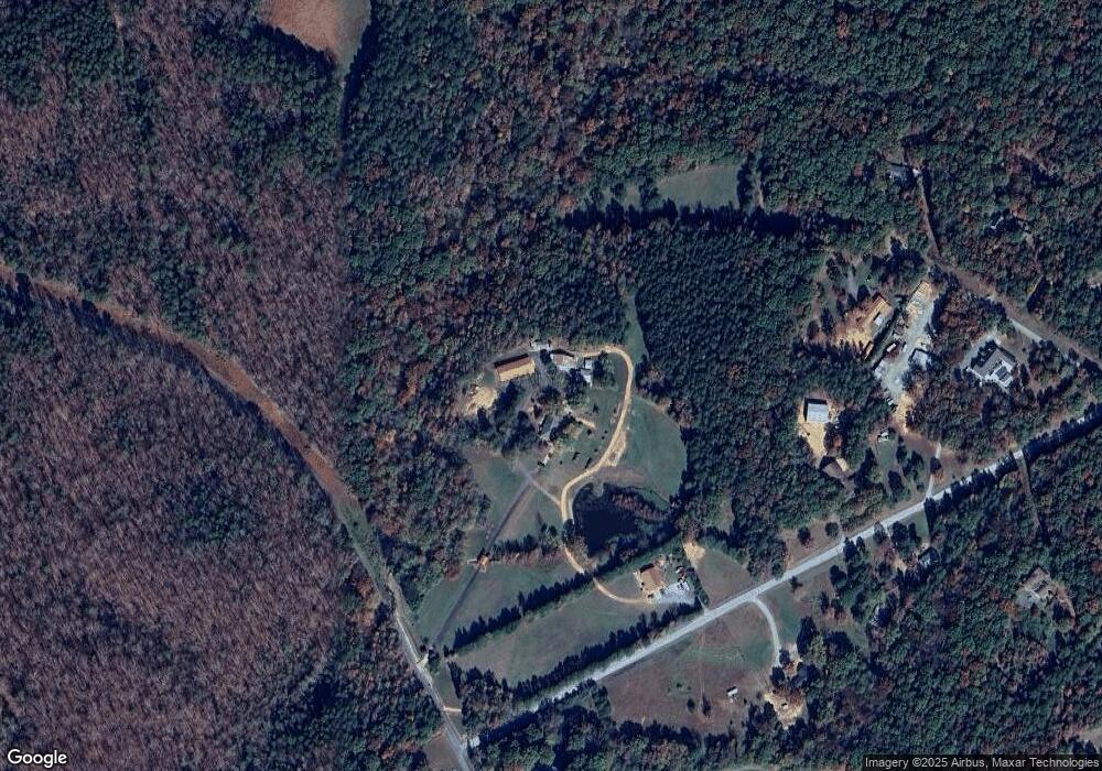
Map
Nearby Homes
- 6827 England Rd
- 10791 Hartsell Rd
- 10130 Reed Mine Rd
- 11732 Glenwood Dr
- 11788 Glenwood Dr Unit 56
- 716 Saddlebred Ln
- 347 Carolina Hemlock Dr
- 206 Montclair Dr
- 6168 Busch Way
- 6336 Busch Way
- 12124 Muscadine Ct
- The Benson II Plan at Pine Bluff
- The McGinnis Plan at Pine Bluff
- The James Plan at Pine Bluff
- The Langford Plan at Pine Bluff
- The Lancaster Plan at Pine Bluff
- The Harrington Plan at Pine Bluff
- The Phoenix Plan at Pine Bluff
- The Avery Plan at Pine Bluff
- The Coleman Plan at Pine Bluff
- 6735 Log Cabin Trail
- 6851 Log Cabin Trail
- 10220 Nugget Place Rd
- 6730 Log Cabin Trail
- 6650 Log Cabin Trail
- 6800 Log Cabin Trail
- 6870 Log Cabin Trail
- 11025 Reed Mine Rd
- 10225 Nugget Place Unit 14
- 10320 Nugget Place Rd
- 6920 Log Cabin Trail
- 10255 Nugget Place Rd
- 10505 Nugget Place
- 6259 Acacia Place
- 6223 Acacia Place
- 6996 Log Cabin Trail
- 6805 England Rd
- 10450 Nugget Place Rd
- 10397 Nugget Place Rd
- 10455 Nugget Place Rd