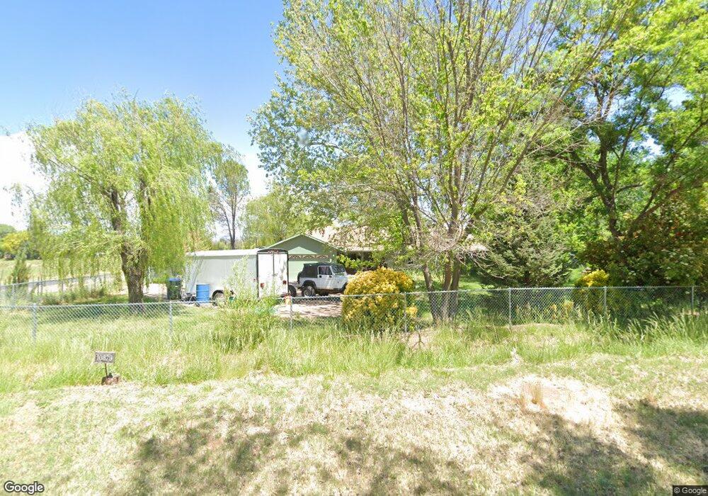
10879 E Pear Tree Dr Cornville, AZ 86325
Estimated Value: $559,000 - $750,000
3
Beds
2
Baths
1,700
Sq Ft
$370/Sq Ft
Est. Value
About This Home
This home is located at 10879 E Pear Tree Dr, Cornville, AZ 86325 and is currently estimated at $629,676, approximately $370 per square foot. 10879 E Pear Tree Dr is a home located in Yavapai County with nearby schools including Oak Creek School, Cottonwood Community School, and Mingus Union High School.
Ownership History
Date
Name
Owned For
Owner Type
Purchase Details
Closed on
Mar 14, 2022
Sold by
Munroe John A and Munroe Joy A
Bought by
Lanchbury Forrest
Current Estimated Value
Home Financials for this Owner
Home Financials are based on the most recent Mortgage that was taken out on this home.
Original Mortgage
$555,750
Outstanding Balance
$518,838
Interest Rate
3.85%
Mortgage Type
New Conventional
Estimated Equity
$110,838
Purchase Details
Closed on
Aug 24, 2009
Sold by
Moyer Phillip L and Moyer Marciana H
Bought by
Munroe John A and Munroe Joy A
Create a Home Valuation Report for This Property
The Home Valuation Report is an in-depth analysis detailing your home's value as well as a comparison with similar homes in the area
Home Values in the Area
Average Home Value in this Area
Purchase History
| Date | Buyer | Sale Price | Title Company |
|---|---|---|---|
| Lanchbury Forrest | $585,000 | Yavapai Title Agency | |
| Munroe John A | $360,000 | Yavapai Title Agency |
Source: Public Records
Mortgage History
| Date | Status | Borrower | Loan Amount |
|---|---|---|---|
| Open | Lanchbury Forrest | $555,750 |
Source: Public Records
Tax History
| Year | Tax Paid | Tax Assessment Tax Assessment Total Assessment is a certain percentage of the fair market value that is determined by local assessors to be the total taxable value of land and additions on the property. | Land | Improvement |
|---|---|---|---|---|
| 2026 | $2,170 | $48,302 | -- | -- |
| 2024 | $2,085 | $45,751 | -- | -- |
| 2023 | $2,085 | $36,701 | $12,932 | $23,769 |
| 2022 | $2,049 | $26,557 | $7,412 | $19,145 |
| 2021 | $2,141 | $24,578 | $6,882 | $17,696 |
| 2020 | $2,102 | $0 | $0 | $0 |
| 2019 | $2,065 | $0 | $0 | $0 |
| 2018 | $1,981 | $0 | $0 | $0 |
| 2017 | $1,894 | $0 | $0 | $0 |
| 2016 | $1,846 | $0 | $0 | $0 |
| 2015 | -- | $0 | $0 | $0 |
| 2014 | $1,652 | $0 | $0 | $0 |
Source: Public Records
Map
Nearby Homes
- 10883 E Pear Tree Dr Unit 14
- 10881 E Pear Tree Dr Unit 15
- 10885 E Pear Tree Dr
- 11120 E Brooks Ln
- 10425 E Willow Dr
- 11535 E Enola Ln
- 465 S Bonita Ranch Loop Unit 22
- 275 S Bonita Ranch Loop Unit lot25
- 11425 E Harmony Ln
- 220 S Bonito Ranch Loop Unit 9
- 10647 E Swinging Bridge Ln
- 11017 E Sarahs Ct Unit 7
- 11310 E Circle Dr
- 4444 S Western Dr Unit 573
- 100 S Blue Heron Dr
- 10973 E Majestic Vista Ln Unit 1
- 1220 S Eastern Dr
- 1260 Angel Crest Dr
- 1455 S Bent Creek Ln
- 0 Solair Dr
Your Personal Tour Guide
Ask me questions while you tour the home.