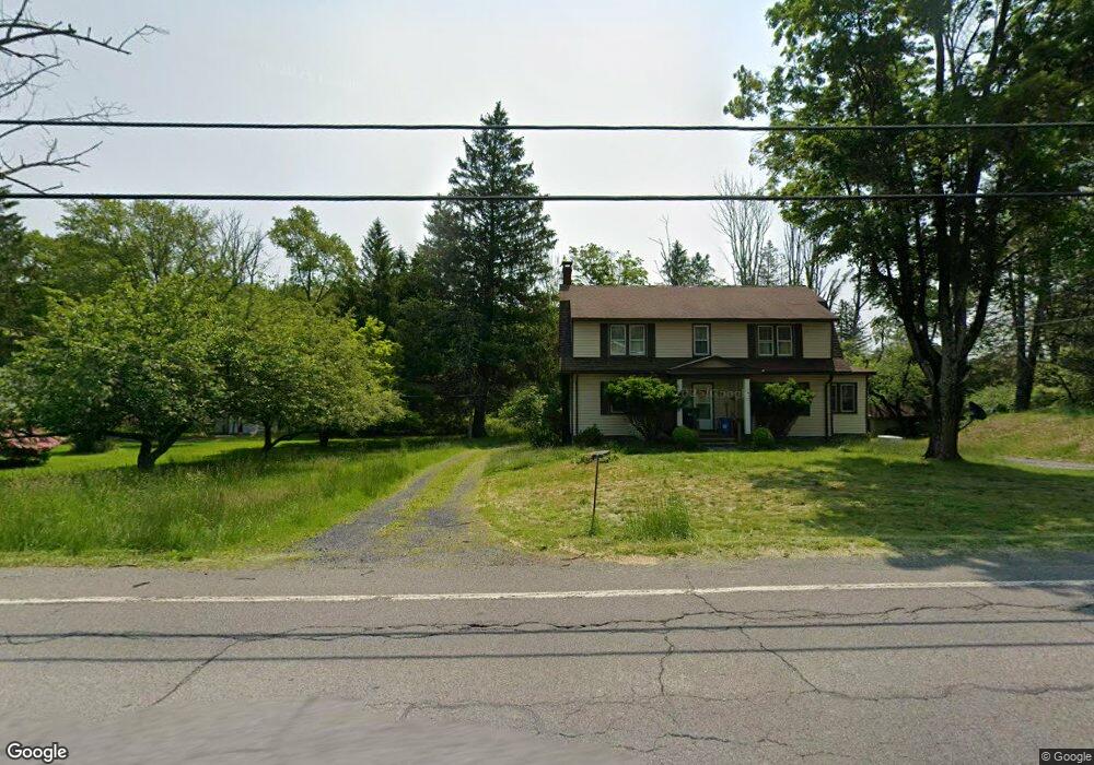
1088 Route 390 Cresco, PA 18326
Estimated Value: $269,000 - $360,000
4
Beds
2
Baths
2,180
Sq Ft
$140/Sq Ft
Est. Value
About This Home
This home is located at 1088 Route 390, Cresco, PA 18326 and is currently estimated at $304,566, approximately $139 per square foot. 1088 Route 390 is a home with nearby schools including Swiftwater Interm School, Swiftwater Elementary Center, and Pocono Mountain East Junior High School.
Ownership History
Date
Name
Owned For
Owner Type
Purchase Details
Closed on
Sep 18, 2023
Sold by
Lairson Barbara Jean
Bought by
Blau Zachary and Halstead Rebecca
Current Estimated Value
Home Financials for this Owner
Home Financials are based on the most recent Mortgage that was taken out on this home.
Original Mortgage
$200,000
Outstanding Balance
$195,710
Interest Rate
6.9%
Mortgage Type
New Conventional
Estimated Equity
$108,856
Purchase Details
Closed on
Aug 2, 1985
Bought by
Lairson Barbara Jean and Lairson Richard
Create a Home Valuation Report for This Property
The Home Valuation Report is an in-depth analysis detailing your home's value as well as a comparison with similar homes in the area
Home Values in the Area
Average Home Value in this Area
Purchase History
| Date | Buyer | Sale Price | Title Company |
|---|---|---|---|
| Blau Zachary | $250,000 | All Pocono Closing Services | |
| Lairson Barbara Jean | -- | -- |
Source: Public Records
Mortgage History
| Date | Status | Borrower | Loan Amount |
|---|---|---|---|
| Open | Blau Zachary | $200,000 |
Source: Public Records
Tax History Compared to Growth
Tax History
| Year | Tax Paid | Tax Assessment Tax Assessment Total Assessment is a certain percentage of the fair market value that is determined by local assessors to be the total taxable value of land and additions on the property. | Land | Improvement |
|---|---|---|---|---|
| 2025 | $1,368 | $169,500 | $20,840 | $148,660 |
| 2024 | $1,114 | $169,500 | $20,840 | $148,660 |
| 2023 | $4,436 | $169,500 | $20,840 | $148,660 |
| 2022 | $4,361 | $169,500 | $20,840 | $148,660 |
| 2021 | $4,361 | $169,500 | $20,840 | $148,660 |
| 2020 | $3,907 | $169,500 | $20,840 | $148,660 |
| 2019 | $3,939 | $22,280 | $3,750 | $18,530 |
| 2018 | $3,939 | $22,280 | $3,750 | $18,530 |
| 2017 | $3,939 | $22,280 | $3,750 | $18,530 |
| 2016 | -- | $22,280 | $3,750 | $18,530 |
| 2015 | -- | $22,280 | $3,750 | $18,530 |
| 2014 | -- | $22,280 | $3,750 | $18,530 |
Source: Public Records
Map
Nearby Homes
- 455 Laurel Pine Rd
- 781 White Oak Rd
- 612 Prices Dr
- 6733 Route 191
- 130 Barn Swallow Ln
- 371 Ridge Cir
- 6683 Pennsylvania 191
- 519 Pheasant Ln
- 136 Oak Ln
- 6663 Pennsylvania 191
- 6656 Route 191
- 104 Haverhill Rd
- 119 Falls Dr
- 136 Falls Dr
- 4130 Mill Creek Dr
- 2138 Laurel Ln
- 4299 High Rd
- 2148 Laurel Ln
- 122 Treetop Trail
- 664 Griscom Rd
- 1094 Route 390
- 1089 Route 390
- 1071 Route 390
- 1070 Pennsylvania 390
- 1070 Route 390
- 1104 Route 390- Unit 101 Route
- 1104 Pennsylvania 390
- 1105 Route 390
- 1063 Route 390
- 1108 Pennsylvania 390
- 1060 Route 390
- 237 Cottage Ln
- 1056 Route 390
- 1108 Route 390
- 108 Legion Dr
- 1121 Route 390
- 1121 Pennsylvania 390
- 1121 Pennsylvania 390
- 118 Legion Dr
- 1042 Route 390