10880 E Grant Rd Franktown, CO 80116
Estimated Value: $785,334 - $966,000
3
Beds
5
Baths
2,236
Sq Ft
$400/Sq Ft
Est. Value
About This Home
This home is located at 10880 E Grant Rd, Franktown, CO 80116 and is currently estimated at $894,834, approximately $400 per square foot. 10880 E Grant Rd is a home located in Douglas County with nearby schools including Franktown Elementary School, Sagewood Middle School, and Ponderosa High School.
Ownership History
Date
Name
Owned For
Owner Type
Purchase Details
Closed on
May 30, 1995
Sold by
Ehalt George M and Ehalt Sheryl J
Bought by
Shkilevich Steven Alan and Shkilevich Sandra M
Current Estimated Value
Home Financials for this Owner
Home Financials are based on the most recent Mortgage that was taken out on this home.
Original Mortgage
$141,500
Interest Rate
7.37%
Purchase Details
Closed on
Nov 30, 1988
Sold by
Bank Of The West
Bought by
Ehalt George M and Ehalt Sheryl J
Purchase Details
Closed on
Mar 10, 1988
Sold by
Public Trustee
Bought by
Bank Of The West
Purchase Details
Closed on
Sep 15, 1986
Sold by
Bank Of The West
Bought by
Forlenza Salvator R and Forlenza Nancy
Purchase Details
Closed on
Oct 30, 1981
Sold by
Unavailable
Bought by
Unavailable
Create a Home Valuation Report for This Property
The Home Valuation Report is an in-depth analysis detailing your home's value as well as a comparison with similar homes in the area
Purchase History
| Date | Buyer | Sale Price | Title Company |
|---|---|---|---|
| Shkilevich Steven Alan | $196,500 | -- | |
| Ehalt George M | $115,000 | -- | |
| Bank Of The West | -- | -- | |
| Forlenza Salvator R | $160,000 | -- | |
| Unavailable | $125,000 | -- |
Source: Public Records
Mortgage History
| Date | Status | Borrower | Loan Amount |
|---|---|---|---|
| Closed | Shkilevich Steven Alan | $141,500 |
Source: Public Records
Tax History
| Year | Tax Paid | Tax Assessment Tax Assessment Total Assessment is a certain percentage of the fair market value that is determined by local assessors to be the total taxable value of land and additions on the property. | Land | Improvement |
|---|---|---|---|---|
| 2025 | $3,470 | $41,750 | $22,300 | $19,450 |
| 2024 | $3,470 | $50,640 | $28,840 | $21,800 |
| 2023 | $3,509 | $50,640 | $28,840 | $21,800 |
| 2022 | $2,569 | $37,630 | $18,360 | $19,270 |
| 2021 | $2,663 | $37,630 | $18,360 | $19,270 |
| 2020 | $2,413 | $35,610 | $16,530 | $19,080 |
| 2019 | $2,425 | $35,610 | $16,530 | $19,080 |
| 2018 | $2,069 | $31,050 | $12,820 | $18,230 |
| 2017 | $2,507 | $31,050 | $12,820 | $18,230 |
| 2016 | $2,069 | $25,120 | $9,430 | $15,690 |
| 2015 | $2,116 | $25,120 | $9,430 | $15,690 |
| 2014 | $2,114 | $23,460 | $9,150 | $14,310 |
Source: Public Records
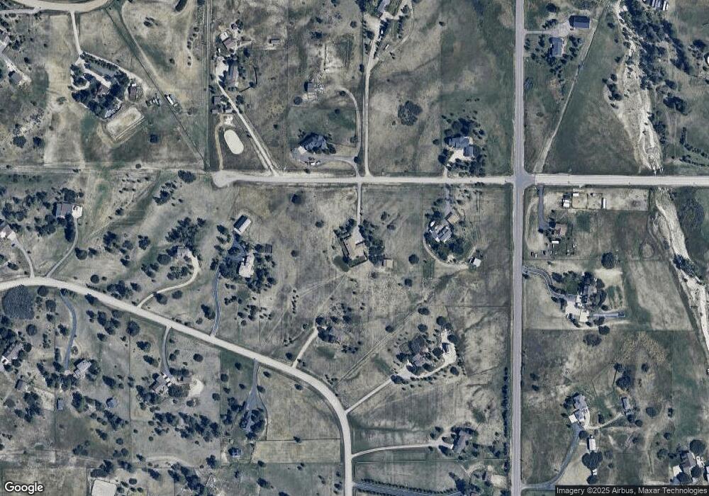
Map
Nearby Homes
- 2130 Frontier Ln
- 75 Evening Hunt Rd
- 2379 Fox View Trail
- 11491 Evening Hunt Rd
- 1579 Deerpath Rd
- 2705 Fox View Trail
- 2218 Deerpath Rd
- 2741 Morning Run Ct
- 87 Evening Hunt Rd
- 2622 Fox View Trail
- 2568 Fox View Trail
- 2568 Fox View Trail Unit 38
- 2937 Hidden Den Ct
- 11218 Ponderosa Ln
- 11011 Sunset Oaks
- 3125 Red Kit Rd
- 11008 Sunset Oaks Place
- 11012 Sunset Oaks Place
- 121 County Road 146
- 8788 E Tanglewood Rd
- 10555 Holden Cir
- 10960 E Grant Rd
- 10515 Holden Cir
- 10785 E Grant Rd
- 10579 Holden Cir
- 10969 E Grant Rd
- 10481 Holden Cir
- 11056 E Grant Rd
- 10750 E Grant Rd
- 10595 Holden Cir
- 10500 Holden Cir
- 1870 Flintwood Rd
- 10909 E Grant Rd
- 1760 Flintwood Rd
- 10625 Holden Cir
- 2080 Flintwood Rd
- 2252 Frontier Ln
- 10445 Holden Cir
- 10670 Holden Cir
- 10456 Holden Cir
Your Personal Tour Guide
Ask me questions while you tour the home.