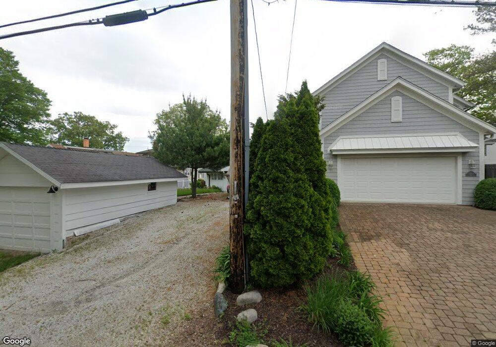
10880 N Southshore Dr Syracuse, IN 46567
Estimated Value: $625,000 - $1,076,064
4
Beds
1
Bath
1,664
Sq Ft
$488/Sq Ft
Est. Value
About This Home
This home is located at 10880 N Southshore Dr, Syracuse, IN 46567 and is currently estimated at $812,688, approximately $488 per square foot. 10880 N Southshore Dr is a home located in Kosciusko County with nearby schools including Wawasee High School.
Ownership History
Date
Name
Owned For
Owner Type
Purchase Details
Closed on
Jul 17, 2020
Sold by
Koschnick Richard G and Koschnick Susanne
Bought by
Koschnick Richard G
Current Estimated Value
Purchase Details
Closed on
Nov 11, 2014
Sold by
Koschnick Susanne
Bought by
Koschnick James
Home Financials for this Owner
Home Financials are based on the most recent Mortgage that was taken out on this home.
Original Mortgage
$339,000
Interest Rate
1.25%
Mortgage Type
Seller Take Back
Create a Home Valuation Report for This Property
The Home Valuation Report is an in-depth analysis detailing your home's value as well as a comparison with similar homes in the area
Home Values in the Area
Average Home Value in this Area
Purchase History
| Date | Buyer | Sale Price | Title Company |
|---|---|---|---|
| Koschnick Richard G | -- | None Available | |
| Koschnick James | $350,000 | Attorney |
Source: Public Records
Mortgage History
| Date | Status | Borrower | Loan Amount |
|---|---|---|---|
| Previous Owner | Koschnick James | $339,000 |
Source: Public Records
Tax History Compared to Growth
Tax History
| Year | Tax Paid | Tax Assessment Tax Assessment Total Assessment is a certain percentage of the fair market value that is determined by local assessors to be the total taxable value of land and additions on the property. | Land | Improvement |
|---|---|---|---|---|
| 2024 | $8,431 | $945,900 | $844,600 | $101,300 |
| 2023 | $7,905 | $869,600 | $776,600 | $93,000 |
| 2022 | $6,927 | $756,800 | $675,700 | $81,100 |
| 2021 | $5,871 | $635,400 | $576,800 | $58,600 |
| 2020 | $5,192 | $614,100 | $556,200 | $57,900 |
| 2019 | $6,045 | $634,700 | $576,800 | $57,900 |
| 2018 | $5,770 | $634,700 | $576,800 | $57,900 |
| 2017 | $5,823 | $626,900 | $576,800 | $50,100 |
| 2016 | $5,076 | $626,900 | $576,800 | $50,100 |
| 2014 | $5,581 | $623,200 | $576,800 | $46,400 |
| 2013 | $5,581 | $620,400 | $576,800 | $43,600 |
Source: Public Records
Map
Nearby Homes
- 10678 N Brown St
- 10712 N Southshore Dr
- 6972 E Divot Ln
- 10660 N Southshore Dr Unit D1
- 10660 N Southshore Dr Unit D3
- 10454 N 800 E
- 6592 E Waco Dr
- 6458 E Waco Dr
- TBD N Grandview Dr
- 9980 N Marine Key Dr
- 9723 N Marine Key Dr
- 11523 N Crowdale Dr
- 9730 N Marine Key Dr
- 11683 N Black Point Rd
- 11425 N Cedar Point High Rd
- 6793 E Eli Lilly Rd
- 8217 E Constitution Dr
- 11869 N Forest Dr
- 8629 E Hatchery Rd
- 6071 E Island Ave
- 10886 N Southshore Dr
- 10872 N Southshore Dr
- 10896 N Southshore Dr
- 10862 N Southshore Dr
- 10904 N Southshore Dr
- 10877 N Southshore Dr
- 10918 N Southshore Dr
- 10918 N Southshore Dr Unit Wawasee Lakefront
- 10840 N Southshore Dr
- 10834 N Southshore Dr Unit 10837
- 10834 N Southshore Dr
- 10920 N Southshore Dr
- 10837 N Southshore Dr
- 10837 N Southshore Dr
- 10926 N Southshore Dr
- 10820 N Southshore Dr
- 10932 N Southshore Dr
- 10934 N Southshore Dr
- 10800 N Southshore Dr
- 10936 N Southshore Dr