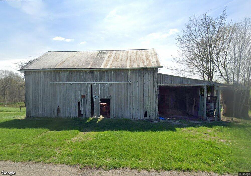
10880 Union Hill Rd Blue Rock, OH 43720
Estimated Value: $101,000 - $296,000
2
Beds
1
Bath
1,101
Sq Ft
$181/Sq Ft
Est. Value
About This Home
This home is located at 10880 Union Hill Rd, Blue Rock, OH 43720 and is currently estimated at $199,235, approximately $180 per square foot. 10880 Union Hill Rd is a home with nearby schools including Philo High School.
Ownership History
Date
Name
Owned For
Owner Type
Purchase Details
Closed on
Apr 4, 2005
Sold by
Murphy Sheila and Murphy Patrick
Bought by
Swingle Mark
Current Estimated Value
Purchase Details
Closed on
Aug 14, 1998
Sold by
Trst Harvey Hivnor
Bought by
Murphy Patrick and Murphy Sheila
Home Financials for this Owner
Home Financials are based on the most recent Mortgage that was taken out on this home.
Original Mortgage
$10,000
Interest Rate
7.07%
Mortgage Type
New Conventional
Create a Home Valuation Report for This Property
The Home Valuation Report is an in-depth analysis detailing your home's value as well as a comparison with similar homes in the area
Home Values in the Area
Average Home Value in this Area
Purchase History
| Date | Buyer | Sale Price | Title Company |
|---|---|---|---|
| Swingle Mark | $87,000 | -- | |
| Murphy Patrick | $40,000 | -- |
Source: Public Records
Mortgage History
| Date | Status | Borrower | Loan Amount |
|---|---|---|---|
| Previous Owner | Murphy Patrick | $10,000 |
Source: Public Records
Tax History Compared to Growth
Tax History
| Year | Tax Paid | Tax Assessment Tax Assessment Total Assessment is a certain percentage of the fair market value that is determined by local assessors to be the total taxable value of land and additions on the property. | Land | Improvement |
|---|---|---|---|---|
| 2024 | $672 | $40,425 | $25,200 | $15,225 |
| 2023 | $670 | $32,235 | $17,360 | $14,875 |
| 2022 | $653 | $32,235 | $17,360 | $14,875 |
| 2021 | $643 | $32,235 | $17,360 | $14,875 |
| 2020 | $662 | $32,235 | $17,360 | $14,875 |
| 2019 | $661 | $32,235 | $17,360 | $14,875 |
| 2018 | $662 | $32,235 | $17,360 | $14,875 |
| 2017 | $641 | $25,655 | $12,950 | $12,705 |
| 2016 | $634 | $25,660 | $12,950 | $12,710 |
| 2015 | $649 | $25,660 | $12,950 | $12,710 |
| 2013 | $641 | $25,660 | $12,950 | $12,710 |
Source: Public Records
Map
Nearby Homes
- 7405 W Sharps Ridge Rd NW
- 1285 Moody Hollow Rd
- 9815 Old River Rd
- 9371 Mautz Dr
- 0 Wilbur Bush Rd NW
- 10285 Dozer Ridge Road-Tract 1
- 9950 N Greer Rd NW
- 9390 Shady Ln
- 10285 Dozer Ridge Rd
- 8752 N Rokeby Dr NW
- 280 Virginia Ridge Rd
- 5780 Henderson St
- 8258 N State Route 60 NW
- 8285 Old River Rd
- 7979 Old River Rd
- 0 Goosecreek Rd
- 3375 Cannelville Rd
- 10195 Goosecreek Rd
- 6800 Center Rd
- 4085 Cannelville Rd
- 10600 Union Hill Rd
- 10650 Union Hill Rd
- 10610 Union Hill Rd
- 10625 Union Hill Rd
- 10995 Union Hill Rd
- 10599 Union Hill Rd
- 10575 Union Hill Rd
- 0 Union Hill Rd Unit 3642174
- 0 Union Hill Rd Unit 12+- acres 224012438
- 0 Union Hill Rd Unit 10+- acres 224012435
- 0 Union Hill Rd Unit 10+- acres 5024943
- 0 Union Hill Rd Unit 12+- acres 5024934
- 0 Union Hill Rd Unit 9.7+- acres 5024934
- 0 Union Hill Rd Unit 12.4+- acres 5024943
- 0 Union Hill Rd Unit 219028619
- 0 Union Hill Rd Unit 4120901
- 6791 W Sharps Ridge Rd NW
- 6390 W Sharps Ridge Rd NW
- 945 Cedar Run Rd
- 10460 Union Hill Rd