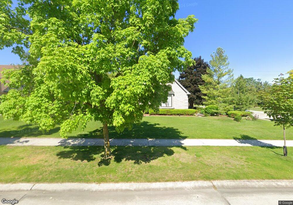
10885 Red Maple Dr Plymouth, MI 48170
Estimated Value: $538,000 - $642,000
--
Bed
4
Baths
2,540
Sq Ft
$235/Sq Ft
Est. Value
About This Home
This home is located at 10885 Red Maple Dr, Plymouth, MI 48170 and is currently estimated at $595,705, approximately $234 per square foot. 10885 Red Maple Dr is a home located in Wayne County with nearby schools including Canton High School, Isbister Elementary School, and Salem High School.
Ownership History
Date
Name
Owned For
Owner Type
Purchase Details
Closed on
May 16, 2025
Sold by
Gary A Moszynski Trust and Moszynski Gary A
Bought by
Holmes Brent D and Holmes Kathleen A
Current Estimated Value
Purchase Details
Closed on
Mar 11, 2020
Sold by
Moszynski Gary A and Moszynski Janice M
Bought by
Moszynski Gary A and The Gary A Moszynski Trust
Purchase Details
Closed on
Dec 20, 1999
Sold by
Modesitt Jan K
Bought by
Moszynski Gary A
Create a Home Valuation Report for This Property
The Home Valuation Report is an in-depth analysis detailing your home's value as well as a comparison with similar homes in the area
Home Values in the Area
Average Home Value in this Area
Purchase History
| Date | Buyer | Sale Price | Title Company |
|---|---|---|---|
| Holmes Brent D | $530,000 | Title Solutions | |
| Holmes Brent D | $530,000 | Title Solutions | |
| Moszynski Gary A | -- | None Available | |
| Moszynski Gary A | $315,000 | -- |
Source: Public Records
Tax History Compared to Growth
Tax History
| Year | Tax Paid | Tax Assessment Tax Assessment Total Assessment is a certain percentage of the fair market value that is determined by local assessors to be the total taxable value of land and additions on the property. | Land | Improvement |
|---|---|---|---|---|
| 2025 | $4,469 | $279,900 | $0 | $0 |
| 2024 | $4,469 | $262,300 | $0 | $0 |
| 2023 | $4,258 | $226,200 | $0 | $0 |
| 2022 | $5,969 | $214,600 | $0 | $0 |
| 2021 | $5,810 | $212,100 | $0 | $0 |
| 2019 | $5,639 | $192,440 | $0 | $0 |
| 2018 | $3,644 | $194,900 | $0 | $0 |
| 2017 | $3,155 | $37,300 | $0 | $0 |
| 2016 | $4,771 | $187,400 | $0 | $0 |
| 2015 | $15,256 | $195,810 | $0 | $0 |
| 2013 | $14,780 | $158,620 | $0 | $0 |
| 2012 | -- | $144,860 | $37,270 | $107,590 |
Source: Public Records
Map
Nearby Homes
- 49238 Plum Tree Dr
- 9377 Pineview Dr
- 9875 Ann Arbor Trail
- 0 E Ann Arbor Trail Unit 20251048195
- 9079 Woodgrove Dr
- 48100 Powell Rd
- 50157 E Fellows Creek Ct
- 9350 Colony Farms Ct
- 11809 Amherst Ct
- 11641 Chandler Dr
- 48441 N Territorial Rd
- 9421 Mapletree Dr
- 47442 Verona Ct
- 47443 Verona Ct
- 11431 Sandalwood Dr
- 50501 Elmwood Ct Unit 11
- 50520 Elmwood Ct
- B1 Tall Timber Unit B1
- 48814 Gyde Rd
- 50536 Cottonwood Ct
- 10783 Red Maple Dr
- 11089 Red Maple Dr
- 10884 Red Maple Dr
- 10986 Red Maple Dr
- 10681 Red Maple Dr
- 10782 Red Maple Dr
- 11088 Red Maple Dr
- 11191 Red Maple Dr
- 10680 Red Maple Dr
- 10579 Red Maple Dr
- 49333 Harvest Dr
- 10578 Red Maple Dr
- 11293 Red Maple Dr
- 11251 N Ridge Rd
- 49307 Harvest Dr
- 10477 Red Maple Dr
- 11271 N Ridge Rd
- 10476 Red Maple Dr
- 10779 Harvest Ct
- 49275 Harvest Dr