108899 S 4767 Rd Roland, OK 74954
Estimated Value: $267,169 - $301,000
3
Beds
2
Baths
1,996
Sq Ft
$141/Sq Ft
Est. Value
About This Home
This home is located at 108899 S 4767 Rd, Roland, OK 74954 and is currently estimated at $281,292, approximately $140 per square foot. 108899 S 4767 Rd is a home with nearby schools including Liberty Public School.
Ownership History
Date
Name
Owned For
Owner Type
Purchase Details
Closed on
May 19, 2008
Sold by
Greenleaf Development Llc
Bought by
Fouts Jason and Fouts Jessica
Current Estimated Value
Home Financials for this Owner
Home Financials are based on the most recent Mortgage that was taken out on this home.
Original Mortgage
$182,400
Interest Rate
5.89%
Mortgage Type
Construction
Create a Home Valuation Report for This Property
The Home Valuation Report is an in-depth analysis detailing your home's value as well as a comparison with similar homes in the area
Home Values in the Area
Average Home Value in this Area
Purchase History
| Date | Buyer | Sale Price | Title Company |
|---|---|---|---|
| Fouts Jason | $22,500 | None Available |
Source: Public Records
Mortgage History
| Date | Status | Borrower | Loan Amount |
|---|---|---|---|
| Closed | Fouts Jason | $182,400 |
Source: Public Records
Tax History Compared to Growth
Tax History
| Year | Tax Paid | Tax Assessment Tax Assessment Total Assessment is a certain percentage of the fair market value that is determined by local assessors to be the total taxable value of land and additions on the property. | Land | Improvement |
|---|---|---|---|---|
| 2024 | $1,455 | $20,644 | $1,662 | $18,982 |
| 2023 | $1,410 | $20,043 | $1,634 | $18,409 |
| 2022 | $1,325 | $19,459 | $1,536 | $17,923 |
| 2021 | $1,284 | $18,893 | $1,320 | $17,573 |
| 2020 | $1,284 | $18,893 | $1,320 | $17,573 |
| 2019 | $1,284 | $18,893 | $1,320 | $17,573 |
| 2018 | $1,284 | $18,893 | $1,320 | $17,573 |
| 2017 | $1,285 | $18,898 | $1,320 | $17,578 |
| 2016 | $1,285 | $18,898 | $1,320 | $17,578 |
| 2015 | $1,285 | $18,904 | $1,320 | $17,584 |
| 2014 | $1,285 | $18,904 | $1,320 | $17,584 |
Source: Public Records
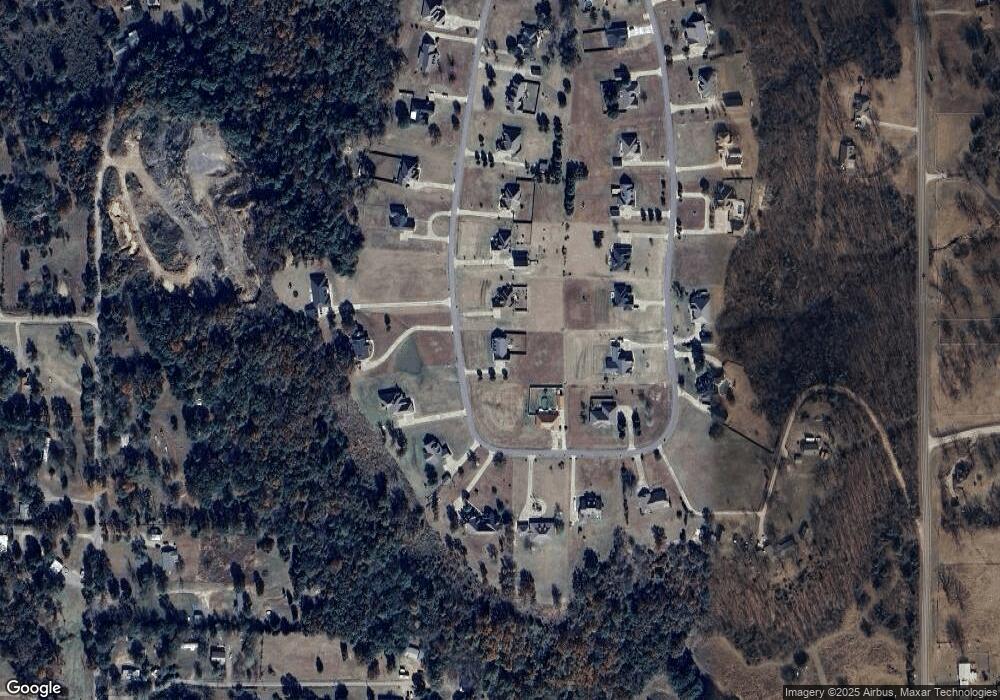
Map
Nearby Homes
- 108892 S 4768 Rd
- 108714 S 4767 Rd
- 477053 E 1085 Rd
- 476967 E 1090 Rd
- 108962 Hummingbird Ln
- 109483 S 4770 Rd
- 476120 E 1091 Rd
- 0000 Cottonwood Rd
- 910 James St
- 200 S Jeff Ln
- 511 Mayfield Dr
- 505 Mayfield Dr
- 308 Highland Rd
- 104 Church St
- 136 Stone Dr
- 138 Stone Dr
- 106438 S 4757 Rd
- 101 Hollow Dr
- 106219 S 4757 Rd
- Lot 1 N 4780 Rd
- 108877 S 4767 Rd
- 108918 S 4767 Rd
- 108990 S 4767 Rd
- 108962 S 4767 Rd
- 108946 S 4767 Rd
- 108906 S 4767 Rd
- 108930 S 4767 Rd
- 108957 S 4767 Rd
- 108853 S 4767 Rd
- 108831 S 4767 Rd
- 108948 S 4768 Rd
- 108989 S 4767 Rd
- 108880 S 4767 Rd
- 108924 S 4768 Rd
- 108836 S 4767 Rd
- 108995 S 4768 Rd
- 108878 S 4768 Rd
- 108868 S 4767 Rd
- 108824 S 4767 Rd
- 108947 S 4768 Rd