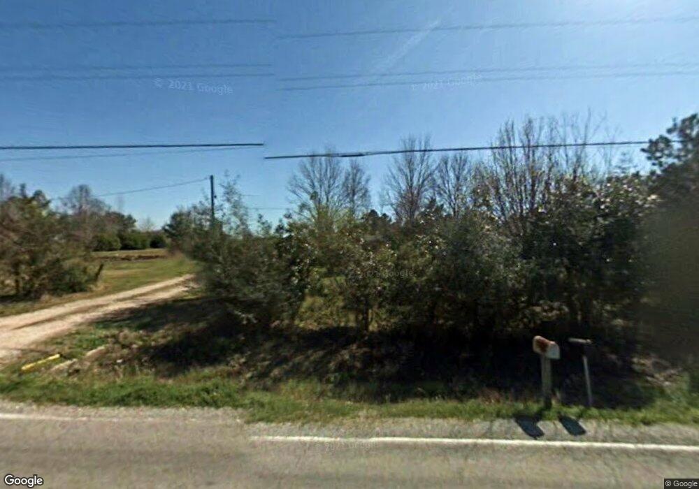
1089 Birdnest Rd Lake Charles, LA 70611
Estimated Value: $149,000 - $262,000
--
Bed
--
Bath
--
Sq Ft
1.9
Acres
About This Home
This home is located at 1089 Birdnest Rd, Lake Charles, LA 70611 and is currently estimated at $193,545. 1089 Birdnest Rd is a home located in Calcasieu Parish with nearby schools including Graham & Parks Alternative Public School, Gillis Elementary School, and Putnam Avenue Upper School.
Ownership History
Date
Name
Owned For
Owner Type
Purchase Details
Closed on
Apr 24, 2025
Sold by
Blankenship Ross Collin and Blankenship Sara Renee
Bought by
Murdock Britta Diane and Murdock Evan Dean
Current Estimated Value
Purchase Details
Closed on
Jul 12, 2018
Sold by
Ledoux Gabriel
Bought by
Fontenot Blankenship Ross Collin and Fontenot Blankenship Sara Renee
Home Financials for this Owner
Home Financials are based on the most recent Mortgage that was taken out on this home.
Original Mortgage
$60,000
Interest Rate
4.6%
Mortgage Type
New Conventional
Create a Home Valuation Report for This Property
The Home Valuation Report is an in-depth analysis detailing your home's value as well as a comparison with similar homes in the area
Home Values in the Area
Average Home Value in this Area
Purchase History
| Date | Buyer | Sale Price | Title Company |
|---|---|---|---|
| Murdock Britta Diane | $140,000 | Southern Compass Title | |
| Fontenot Blankenship Ross Collin | $75,000 | Landmark Title |
Source: Public Records
Mortgage History
| Date | Status | Borrower | Loan Amount |
|---|---|---|---|
| Previous Owner | Fontenot Blankenship Ross Collin | $60,000 |
Source: Public Records
Tax History Compared to Growth
Tax History
| Year | Tax Paid | Tax Assessment Tax Assessment Total Assessment is a certain percentage of the fair market value that is determined by local assessors to be the total taxable value of land and additions on the property. | Land | Improvement |
|---|---|---|---|---|
| 2024 | $1,292 | $12,020 | $150 | $11,870 |
| 2023 | $1,292 | $12,020 | $150 | $11,870 |
| 2022 | $478 | $11,870 | $0 | $11,870 |
| 2021 | $501 | $12,020 | $150 | $11,870 |
| 2020 | $1,179 | $10,830 | $150 | $10,680 |
| 2019 | $789 | $7,220 | $5,300 | $1,920 |
| 2018 | $790 | $7,220 | $5,300 | $1,920 |
| 2017 | $230 | $2,070 | $150 | $1,920 |
| 2016 | $226 | $2,070 | $150 | $1,920 |
| 2015 | $227 | $2,030 | $110 | $1,920 |
Source: Public Records
Map
Nearby Homes
- 1032 Birdnest Rd
- 0 Bunker Hill Rd Unit SWL25001343
- 0 Bunker Hill Rd Unit SWL25100640
- TBD Mesa Ln
- 0 Talon Ln Unit Lot 7 SWL25100714
- 0 Talon Ln Unit Lot 6 SWL24003702
- 0 Talon Ln Unit Lot 13 SWL25100712
- 0 Talon Ln Unit Lot 1 SWL25100706
- 8 Buffalo Run Dr
- 17 Swooping Eagle Dr
- 16 Swooping Eagle Dr
- 18 Swooping Eagle Dr
- 21 Buffalo Run Dr
- 20 Swooping Eagle Dr
- 10 Silent Wolf Dr
- 14 Silent Wolf Dr
- 3 Silent Wolf Dr
- 2 Silent Wolf Dr
- 9 Silent Wolf Dr
- 7 Silent Wolf Dr
- 1069 Birdnest Rd
- 1133 Birdnest Rd
- 1049 Birdnest Rd
- 1074 Birdnest Rd
- 3274 Bunker Hill Rd
- 1128 Birdnest Rd
- 3284 Bunker Hill Rd
- 1167 Birdnest Rd
- 3271 Bunker Hill Rd
- 982 Birdnest Rd
- 3203 Bunker Hill Rd
- 3255 Bunker Hill Rd
- 3265 Bunker Hill Rd
- 1200 Birdnest Rd
- 3225 Bunker Hill Rd
- 1021 Birdnest Rd
- 980 Birdnest Rd
- 3195 Bunker Hill Rd
- 1106 Wilderness Ln
- 3173 Bunker Hill Rd