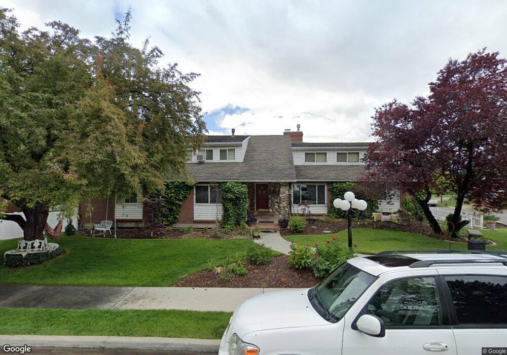
1089 Cherry Ln Provo, UT 84604
Wasatch NeighborhoodEstimated Value: $1,031,147 - $1,083,000
9
Beds
4
Baths
5,046
Sq Ft
$209/Sq Ft
Est. Value
About This Home
This home is located at 1089 Cherry Ln, Provo, UT 84604 and is currently estimated at $1,057,074, approximately $209 per square foot. 1089 Cherry Ln is a home located in Utah County with nearby schools including Wasatch Elementary School, Centennial Middle School, and Timpview High School.
Ownership History
Date
Name
Owned For
Owner Type
Purchase Details
Closed on
Apr 6, 2022
Sold by
Fa Michael and Fa Leslie
Bought by
Gledhill Michael and Gledhill Leslie A
Current Estimated Value
Purchase Details
Closed on
Mar 29, 2017
Sold by
Gledhill Michael B and Gledhill Leslie A
Bought by
Gledhill Michael B and Gledhill Leslie A
Purchase Details
Closed on
Nov 14, 2003
Sold by
Gledhill Leslie
Bought by
Gledhill Michael B and Gledhill Leslie A
Home Financials for this Owner
Home Financials are based on the most recent Mortgage that was taken out on this home.
Original Mortgage
$330,419
Interest Rate
4.05%
Mortgage Type
Purchase Money Mortgage
Create a Home Valuation Report for This Property
The Home Valuation Report is an in-depth analysis detailing your home's value as well as a comparison with similar homes in the area
Home Values in the Area
Average Home Value in this Area
Purchase History
| Date | Buyer | Sale Price | Title Company |
|---|---|---|---|
| Gledhill Michael | -- | Old Republic Title | |
| Gledhill Michael B | -- | None Available | |
| Gledhill Michael B | -- | Access Title Company | |
| Gledhill Leslie | -- | Access Title Company |
Source: Public Records
Mortgage History
| Date | Status | Borrower | Loan Amount |
|---|---|---|---|
| Previous Owner | Gledhill Leslie | $330,419 |
Source: Public Records
Tax History
| Year | Tax Paid | Tax Assessment Tax Assessment Total Assessment is a certain percentage of the fair market value that is determined by local assessors to be the total taxable value of land and additions on the property. | Land | Improvement |
|---|---|---|---|---|
| 2025 | $5,341 | $504,845 | -- | -- |
| 2024 | $5,341 | $525,745 | $0 | $0 |
| 2023 | $5,450 | $528,825 | $0 | $0 |
| 2022 | $5,047 | $493,790 | $0 | $0 |
| 2021 | $4,126 | $704,200 | $201,400 | $502,800 |
| 2020 | $4,088 | $654,000 | $161,100 | $492,900 |
| 2019 | $2,676 | $574,600 | $161,100 | $413,500 |
| 2018 | $3,360 | $567,000 | $153,500 | $413,500 |
| 2017 | $3,272 | $303,380 | $0 | $0 |
| 2016 | $3,183 | $275,110 | $0 | $0 |
| 2015 | $2,800 | $244,585 | $0 | $0 |
| 2014 | -- | $221,760 | $0 | $0 |
Source: Public Records
Map
Nearby Homes
- 1175 N Locust Ln
- 1205 N Old Willow Ln
- 1040 N Oakmont Ln
- 990 Cedar Ave
- 734 Hillsdale Ln
- 907 E 820 N Unit 11
- 1292 Cedar Ave
- 1215 N Terrace Dr
- 905 N Terrace Dr
- 1604 N Willow Ln
- 635 N Ridge Dr Unit 25
- 532 N Seven Peaks Blvd Unit 302
- 737 E 750 N Unit 1
- 785 E 560 N Unit 405
- 659 N 700 E Unit 17
- 611 N 700 E Unit 5
- 655 E 600 N Unit 6
- 1051 E 300 N
- 541 E 500 N Unit 12
- 864 E 200 N