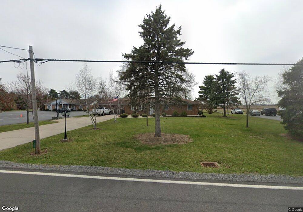
10899 State Route 12 Columbus Grove, OH 45830
Estimated Value: $209,000 - $248,000
--
Bed
2
Baths
1,456
Sq Ft
$152/Sq Ft
Est. Value
About This Home
This home is located at 10899 State Route 12, Columbus Grove, OH 45830 and is currently estimated at $221,116, approximately $151 per square foot. 10899 State Route 12 is a home located in Putnam County with nearby schools including Columbus Grove Elementary School, Columbus Grove Middle School, and Columbus Grove High School.
Ownership History
Date
Name
Owned For
Owner Type
Purchase Details
Closed on
Jun 28, 2005
Sold by
Jones Nolan M and Jones Nancy
Bought by
Amstutz Steve R and Amstutz Elaine D
Current Estimated Value
Home Financials for this Owner
Home Financials are based on the most recent Mortgage that was taken out on this home.
Original Mortgage
$111,000
Interest Rate
5.87%
Mortgage Type
New Conventional
Create a Home Valuation Report for This Property
The Home Valuation Report is an in-depth analysis detailing your home's value as well as a comparison with similar homes in the area
Home Values in the Area
Average Home Value in this Area
Purchase History
| Date | Buyer | Sale Price | Title Company |
|---|---|---|---|
| Amstutz Steve R | -- | None Available |
Source: Public Records
Mortgage History
| Date | Status | Borrower | Loan Amount |
|---|---|---|---|
| Closed | Amstutz Steve R | $111,000 |
Source: Public Records
Tax History Compared to Growth
Tax History
| Year | Tax Paid | Tax Assessment Tax Assessment Total Assessment is a certain percentage of the fair market value that is determined by local assessors to be the total taxable value of land and additions on the property. | Land | Improvement |
|---|---|---|---|---|
| 2024 | $1,540 | $58,390 | $5,360 | $53,030 |
| 2023 | $1,652 | $44,650 | $4,220 | $40,430 |
| 2022 | $1,383 | $44,650 | $4,221 | $40,429 |
| 2021 | $1,285 | $44,650 | $4,221 | $40,429 |
| 2020 | $1,287 | $42,860 | $3,940 | $38,920 |
| 2019 | $1,105 | $40,200 | $4,220 | $35,980 |
| 2018 | $1,100 | $40,200 | $4,220 | $35,980 |
| 2017 | $1,172 | $40,200 | $4,220 | $35,980 |
| 2016 | $1,172 | $42,860 | $3,940 | $38,920 |
| 2015 | $1,179 | $42,860 | $3,940 | $38,920 |
| 2014 | $1,190 | $42,860 | $3,940 | $38,920 |
| 2013 | -- | $42,860 | $3,940 | $38,920 |
Source: Public Records
Map
Nearby Homes
- 308 Delphos Rd
- 204 S Broadway St
- 302 Willow Bend Dr
- 133 N High St
- 11059 Ottawa Rd
- 147 Elm St
- 244 E Findlay St
- 6585 Ottawa Rd
- 15105 Road 15m
- 220 Parklane Dr
- 300 Sweaney Ave
- 17429 Road 5
- 704 Sherman St
- 208 E Monroe St
- 504 Hawthorne Dr
- 2525 W Lincoln Hwy
- 726 S Oak St
- 4940 Stewart Rd
- 445 S Oak St
- 3456 Shearin Ave
- 10923 State Route 12
- 10900 State Route 12
- 10888 St Route
- 10888 State Route 12
- 10851 State Route 12
- 10866 State Route 12
- 10932 State Route 12
- 10951 State Route 12
- 10844 State Route 12
- 10950 State Route 12
- 10827 State Route 12
- 10964 State Route 12
- 411 Delphos Rd
- 10805 State Route 12
- 10990 State Route 12
- 409 Delphos Rd
- 410 Taft St
- 10787 State Route 12
- 408 Taft St