Estimated Value: $87,181 - $210,000
Studio
--
Bath
1,416
Sq Ft
$105/Sq Ft
Est. Value
About This Home
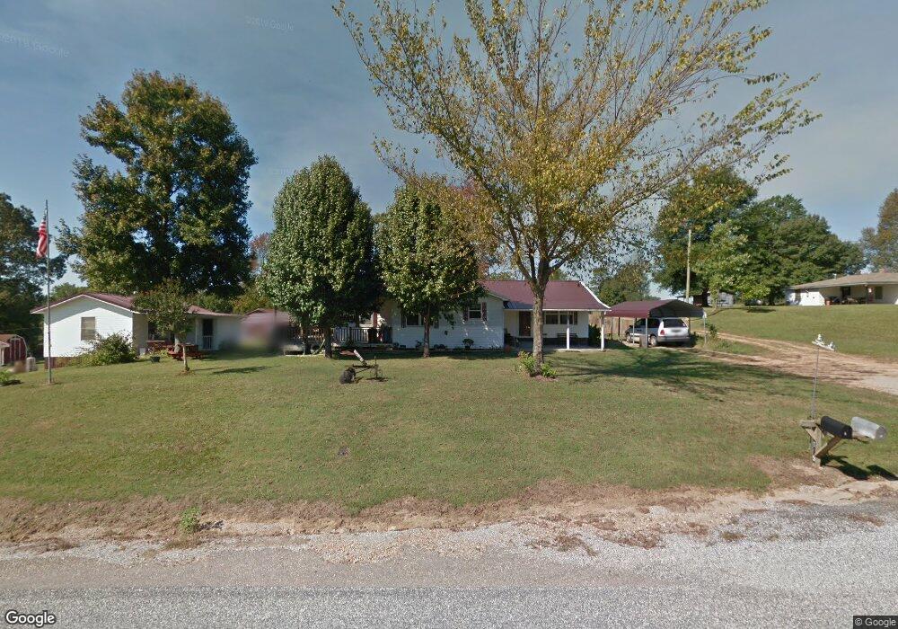
This home is located at 109 Anderson Loop, Amity, AR 71921 and is currently estimated at $148,795, approximately $105 per square foot. 109 Anderson Loop is a home with nearby schools including Kirby Elementary School and Kirby High School.
Ownership History
Date
Name
Owned For
Owner Type
Purchase Details
Closed on
Jun 27, 1984
Bought by
Funderburk Billy Wayne and Annie Bell
Current Estimated Value
Create a Home Valuation Report for This Property
The Home Valuation Report is an in-depth analysis detailing your home's value as well as a comparison with similar homes in the area
Purchase History
| Date | Buyer | Sale Price | Title Company |
|---|---|---|---|
| Funderburk Billy Wayne | -- | -- |
Source: Public Records
Tax History
| Year | Tax Paid | Tax Assessment Tax Assessment Total Assessment is a certain percentage of the fair market value that is determined by local assessors to be the total taxable value of land and additions on the property. | Land | Improvement |
|---|---|---|---|---|
| 2025 | $405 | $11,980 | $2,080 | $9,900 |
| 2023 | $374 | $11,980 | $2,080 | $9,900 |
| 2022 | $343 | $11,980 | $2,080 | $9,900 |
| 2021 | $277 | $10,300 | $2,020 | $8,280 |
| 2020 | $277 | $10,300 | $2,020 | $8,280 |
| 2019 | $277 | $10,300 | $2,020 | $8,280 |
| 2018 | $277 | $10,300 | $2,020 | $8,280 |
| 2017 | $277 | $10,300 | $2,020 | $8,280 |
| 2015 | -- | $9,630 | $2,020 | $7,610 |
| 2014 | -- | $7,040 | $2,020 | $5,020 |
| 2013 | -- | $7,040 | $2,020 | $5,020 |
Source: Public Records
Map
Nearby Homes
- 9 Bear Creek Rd
- 2385 Hwy 27 N
- XXX Hwy 70
- 113 Kirby Landing Rd
- 25 Pinnacle Path
- 2567 Highway 70 W
- 2567 U S 70
- 2480 Hwy 70 W
- xx John Ashley Rd
- 0 C R 658
- 2 Road Trail
- TBD Ebenezer Rd
- 4949 Highway 70 E
- 00 Ray Loop Rd
- 28 Funderburk Rd
- 912 Ebenezer Rd
- 0 Arkansas 84
- 1906 U S 70
- 3880 Hwy 70 W
- 0 Hwy 84 Unit 20526804
- 152 C R 263
- 111 Anderson Loop
- 116 C R 263
- 118 C R 263
- 96 Anderson Loop
- 152 Anderson Loop
- 38 Robs Rd
- 51 Bear Creek Rd
- 37 Bear Creek Rd
- 2493 Highway 27 N
- 2499 Highway 27 N
- 35 Bear Creek Rd
- 2511 Highway 27 N
- 39 Pondercreek Dr
- 0 Bear Creek Rd Unit 20030719
- 64 Bear Creek Rd
- 38 C R 263
- 44 Anderson Loop
- 92 Bear Creek Rd
- 103 Bear Creek Rd
Your Personal Tour Guide
Ask me questions while you tour the home.