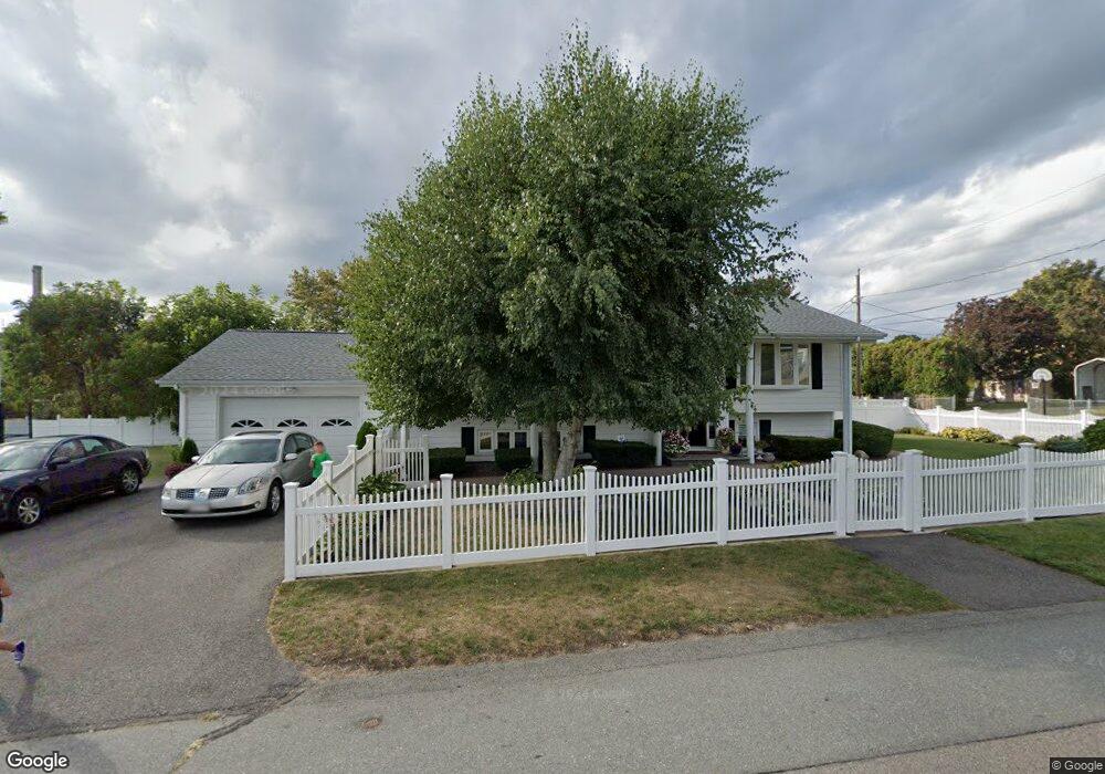
109 Angus St Somerset, MA 02725
Brayton Point NeighborhoodEstimated Value: $446,000 - $701,000
3
Beds
2
Baths
1,144
Sq Ft
$483/Sq Ft
Est. Value
About This Home
This home is located at 109 Angus St, Somerset, MA 02725 and is currently estimated at $553,081, approximately $483 per square foot. 109 Angus St is a home located in Bristol County with nearby schools including South Elementary School, Somerset Middle School, and St. Michael's School.
Ownership History
Date
Name
Owned For
Owner Type
Purchase Details
Closed on
Dec 19, 2019
Sold by
Ram Management Inc
Bought by
Rhr Holdings Llc
Current Estimated Value
Purchase Details
Closed on
Jan 25, 2018
Sold by
Mateus Richard A
Bought by
Ram Management Inc
Purchase Details
Closed on
Jun 21, 2011
Sold by
Mateus Helder M and Matcus Rosemary
Bought by
Mateus Richard A
Create a Home Valuation Report for This Property
The Home Valuation Report is an in-depth analysis detailing your home's value as well as a comparison with similar homes in the area
Home Values in the Area
Average Home Value in this Area
Purchase History
| Date | Buyer | Sale Price | Title Company |
|---|---|---|---|
| Rhr Holdings Llc | -- | None Available | |
| Rhr Holdings Llc | -- | None Available | |
| Ram Management Inc | -- | -- | |
| Ram Management Inc | -- | -- | |
| Mateus Richard A | $209,688 | -- | |
| Mateus Richard A | $209,688 | -- |
Source: Public Records
Mortgage History
| Date | Status | Borrower | Loan Amount |
|---|---|---|---|
| Previous Owner | Mateus Richard A | $75,000 | |
| Previous Owner | Mateus Richard A | $31,777 |
Source: Public Records
Tax History
| Year | Tax Paid | Tax Assessment Tax Assessment Total Assessment is a certain percentage of the fair market value that is determined by local assessors to be the total taxable value of land and additions on the property. | Land | Improvement |
|---|---|---|---|---|
| 2025 | $6,093 | $458,100 | $150,800 | $307,300 |
| 2024 | $5,649 | $441,700 | $150,800 | $290,900 |
| 2023 | $4,912 | $387,400 | $125,500 | $261,900 |
| 2022 | $4,552 | $342,500 | $108,300 | $234,200 |
| 2021 | $4,595 | $313,000 | $97,900 | $215,100 |
| 2020 | $4,590 | $301,600 | $97,900 | $203,700 |
| 2019 | $5,161 | $282,800 | $97,900 | $184,900 |
| 2018 | $2,945 | $258,100 | $94,300 | $163,800 |
| 2017 | $4,279 | $245,900 | $89,800 | $156,100 |
| 2016 | $4,117 | $235,100 | $79,000 | $156,100 |
| 2015 | $4,214 | $242,900 | $91,000 | $151,900 |
| 2014 | $5,943 | $246,100 | $91,000 | $155,100 |
Source: Public Records
Map
Nearby Homes
- 63 Hebb St
- 12 Ripley St
- 132 Jackson Ave
- 575 Shirley Ave
- 167 Mercier Ave
- 700 Shore Dr Unit 6-604
- 700 Shore Dr Unit 1205
- 700 Shore Dr Unit 810
- 127 Sheraton Ave
- 159 Wilder St
- 105 Cornhill Rd
- 19 Keller Ave
- 330 William St
- 315 William St
- 327 William St
- 9 Doctor St
- 750 Davol St Unit 1012
- 750 Davol St Unit 219
- 750 Davol St Unit 221
- 750 Davol St Unit 616