109 Aubree Way McDonough, GA 30252
Estimated Value: $423,000 - $462,000
4
Beds
3
Baths
2,443
Sq Ft
$181/Sq Ft
Est. Value
About This Home
This home is located at 109 Aubree Way, McDonough, GA 30252 and is currently estimated at $442,654, approximately $181 per square foot. 109 Aubree Way is a home located in Henry County with nearby schools including Ola Elementary School, Ola Middle School, and Ola High School.
Ownership History
Date
Name
Owned For
Owner Type
Purchase Details
Closed on
Dec 22, 2014
Sold by
Franklin Christopher D
Bought by
Franklin Cynthia D
Current Estimated Value
Home Financials for this Owner
Home Financials are based on the most recent Mortgage that was taken out on this home.
Original Mortgage
$170,000
Interest Rate
3.31%
Mortgage Type
VA
Purchase Details
Closed on
Sep 23, 2005
Sold by
Aubrees Landing Hms Llc
Bought by
Franklin Christopher D and Franklin Cytnhia
Home Financials for this Owner
Home Financials are based on the most recent Mortgage that was taken out on this home.
Original Mortgage
$59,980
Interest Rate
5.26%
Mortgage Type
New Conventional
Create a Home Valuation Report for This Property
The Home Valuation Report is an in-depth analysis detailing your home's value as well as a comparison with similar homes in the area
Home Values in the Area
Average Home Value in this Area
Purchase History
| Date | Buyer | Sale Price | Title Company |
|---|---|---|---|
| Franklin Cynthia D | -- | -- | |
| Franklin Christopher D | $299,900 | -- |
Source: Public Records
Mortgage History
| Date | Status | Borrower | Loan Amount |
|---|---|---|---|
| Previous Owner | Franklin Cynthia D | $170,000 | |
| Previous Owner | Franklin Christopher D | $59,980 | |
| Previous Owner | Franklin Christopher D | $239,920 |
Source: Public Records
Tax History Compared to Growth
Tax History
| Year | Tax Paid | Tax Assessment Tax Assessment Total Assessment is a certain percentage of the fair market value that is determined by local assessors to be the total taxable value of land and additions on the property. | Land | Improvement |
|---|---|---|---|---|
| 2025 | $1,666 | $192,800 | $24,000 | $168,800 |
| 2024 | $1,666 | $185,040 | $24,000 | $161,040 |
| 2023 | $5,161 | $170,120 | $18,000 | $152,120 |
| 2022 | $5,282 | $153,760 | $18,000 | $135,760 |
| 2021 | $4,871 | $136,240 | $18,000 | $118,240 |
| 2020 | $4,654 | $126,920 | $14,800 | $112,120 |
| 2019 | $4,608 | $124,880 | $15,000 | $109,880 |
| 2018 | $4,150 | $112,160 | $12,000 | $100,160 |
| 2016 | $3,424 | $93,240 | $10,000 | $83,240 |
| 2015 | $3,771 | $99,640 | $10,000 | $89,640 |
| 2014 | $3,341 | $87,880 | $10,000 | $77,880 |
Source: Public Records
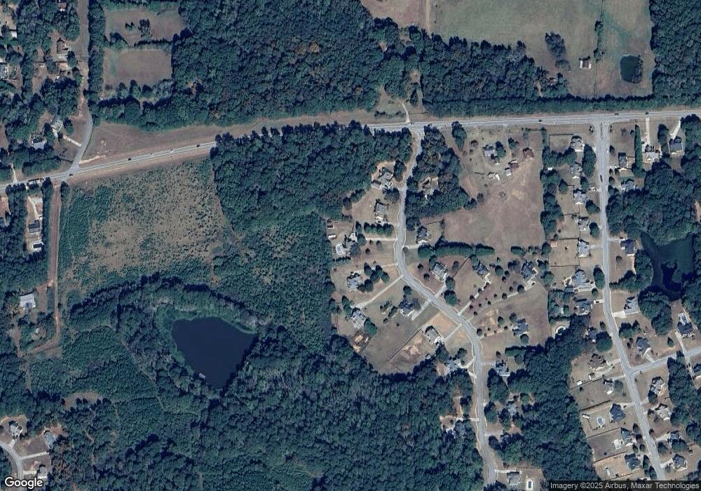
Map
Nearby Homes
- 3000 Keeneland Blvd
- 146 Aubree Way
- 4075 O Henry Ct
- 530 Austin Dr
- 523 Barhams Ridge Dr
- 393 Stallsworth Rd
- 1012 Gloria Grand Blvd
- 1908 Munford Place
- 545 Barhams Ridge Dr
- 501 Barhams Ridge Dr
- 505 Judith Ct
- 1512 Lincoln Terrace
- 0 Wynn Rd Unit 10627608
- 326 Dylan Way
- 185 Wynn Rd
- 124 Wynn Rd
- 125 Floresta Dr
- 117 Floresta Dr
- 40 Austin Dr
- 180 Mackey Rd
- 105 Aubree Way
- 113 Aubree Way
- 106 Aubree Way
- 101 Aubree Way
- 117 Aubree Way
- 118 Aubree Way
- 118 Aubree Way Unit 29
- 118 Aubree Way Unit 1
- 121 Aubree Way
- 100 Aubree Way
- 125 Aubree Way
- 122 Aubree Way
- 129 Aubree Way
- 4318 Highway 81 E
- 126 Aubree Way
- 130 Aubree Way
- 134 Aubree Way
- 137 Aubree Way
- 3006 Keeneland Blvd
- 3008 Keeneland Blvd