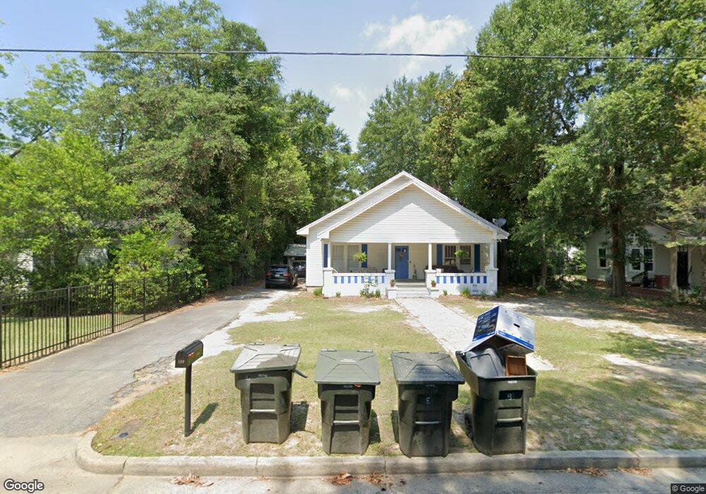
109 Broad St Unit 2 Statesboro, GA 30458
Estimated Value: $244,000 - $325,000
3
Beds
4
Baths
2,524
Sq Ft
$106/Sq Ft
Est. Value
About This Home
This home is located at 109 Broad St Unit 2, Statesboro, GA 30458 and is currently estimated at $267,376, approximately $105 per square foot. 109 Broad St Unit 2 is a home located in Bulloch County with nearby schools including Statesboro High School, Sallie Zetterower Elementary School, and Langston Chapel Middle School.
Ownership History
Date
Name
Owned For
Owner Type
Purchase Details
Closed on
Apr 4, 2019
Sold by
Cartee Investments Llc
Bought by
109 Broad Street Llc
Current Estimated Value
Purchase Details
Closed on
Mar 21, 2007
Sold by
Not Provided
Bought by
St Andrews Builders Inc
Purchase Details
Closed on
Jun 5, 2006
Sold by
Not Provided
Bought by
St Andrews Builders Inc
Purchase Details
Closed on
Oct 31, 2005
Sold by
Gay Jere
Bought by
B & R Equities Llc
Purchase Details
Closed on
Feb 1, 1982
Bought by
Gay Jere C
Create a Home Valuation Report for This Property
The Home Valuation Report is an in-depth analysis detailing your home's value as well as a comparison with similar homes in the area
Home Values in the Area
Average Home Value in this Area
Purchase History
| Date | Buyer | Sale Price | Title Company |
|---|---|---|---|
| 109 Broad Street Llc | $122,000 | -- | |
| St Andrews Builders Inc | $142,500 | -- | |
| St Andrews Builders Inc | $87,869 | -- | |
| B & R Equities Llc | $84,000 | -- | |
| Gay Jere C | -- | -- |
Source: Public Records
Tax History Compared to Growth
Tax History
| Year | Tax Paid | Tax Assessment Tax Assessment Total Assessment is a certain percentage of the fair market value that is determined by local assessors to be the total taxable value of land and additions on the property. | Land | Improvement |
|---|---|---|---|---|
| 2024 | $2,082 | $75,960 | $6,000 | $69,960 |
| 2023 | $1,238 | $58,040 | $6,000 | $52,040 |
| 2022 | $978 | $49,882 | $6,000 | $43,882 |
| 2021 | $828 | $41,036 | $6,000 | $35,036 |
| 2020 | $767 | $36,941 | $3,817 | $33,124 |
| 2019 | $779 | $37,323 | $3,817 | $33,506 |
| 2018 | $791 | $36,345 | $3,817 | $32,528 |
| 2017 | $765 | $34,716 | $3,817 | $30,899 |
| 2016 | $769 | $34,029 | $3,817 | $30,212 |
| 2015 | $734 | $32,364 | $3,817 | $28,547 |
| 2014 | $674 | $32,364 | $3,817 | $28,547 |
Source: Public Records
Map
Nearby Homes
- 111 S Mulberry St
- 0 U S 301 Unit 24576764
- 0 Highway 67 Unit 10541885
- 313 Donaldson St
- 227 E Main St
- 27 W Grady St
- 141 Griffith Ln
- 15 N Gordon St
- LOT 21 Oak Hill Dr
- 115 Inman Ln Unit A/B
- 117 W Jones Ave
- 316 E Main St
- 342 Savannah Ave
- 312 Institute St
- 206 W Jones Ave
- 360 Savannah Ave
- 362 Savannah Ave
- 118 Lee St
- 113 Church St
- 0 Oak St Unit OAK ST/ LOT 2
- 109 Broad St
- 0 S Mulberry St Unit 7122715
- 0 S Mulberry St Unit 7340218
- 0 S Mulberry St Unit 7066549
- 108 S Mulberry St
- 107 Broad St
- 107 Broad St Unit 4
- 107 Broad St Unit 107A, 107B, !07C and
- 111 Broad St
- 106 S Mulberry St
- 105 Broad St
- 104 S Mulberry St
- 112 Broad St
- 107 S Mulberry St
- 115 Broad St
- 101 Broad St
- 114 Broad St
- 109 S Mulberry St
- 102 S Mulberry St Unit 2
- 102 S Mulberry St