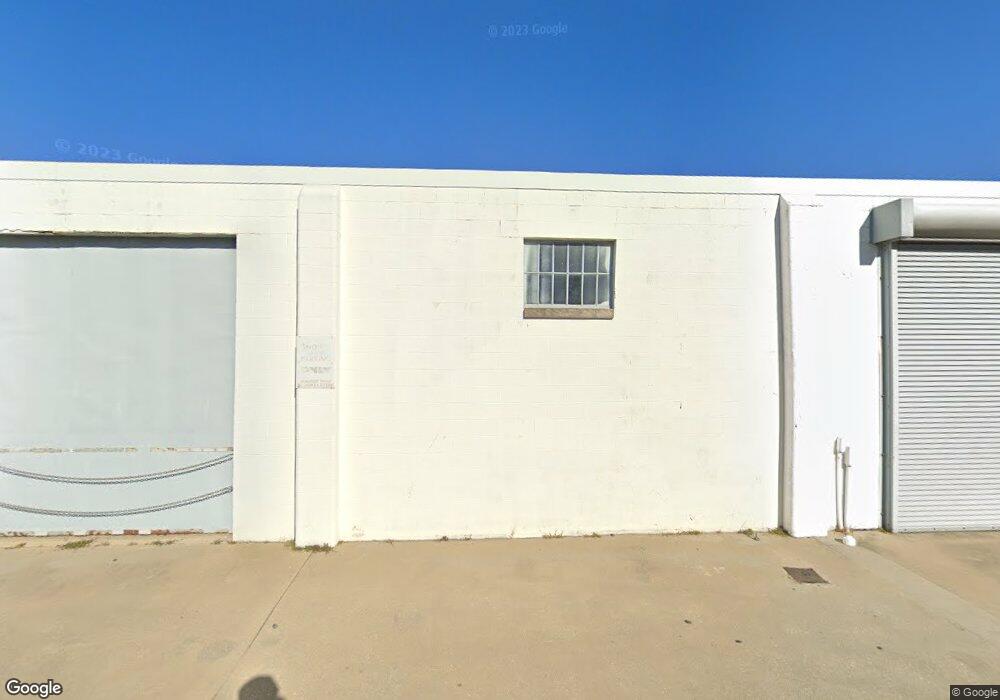
109 Brohawn Ave Cambridge, MD 21613
Estimated Value: $304,642
--
Bed
--
Bath
9,562
Sq Ft
$32/Sq Ft
Est. Value
About This Home
This home is located at 109 Brohawn Ave, Cambridge, MD 21613 and is currently estimated at $304,642, approximately $31 per square foot. 109 Brohawn Ave is a home located in Dorchester County with nearby schools including Choptank Elementary School, Mace's Lane Middle School, and Cambridge-South Dorchester High School.
Ownership History
Date
Name
Owned For
Owner Type
Purchase Details
Closed on
Dec 19, 2018
Sold by
The Commissioners Of Cambridge
Bought by
Kala Properties Llc
Current Estimated Value
Purchase Details
Closed on
Sep 7, 2018
Sold by
Tyler Allen L
Bought by
Kala Properties Llc
Home Financials for this Owner
Home Financials are based on the most recent Mortgage that was taken out on this home.
Original Mortgage
$157,500
Interest Rate
4.5%
Mortgage Type
Commercial
Create a Home Valuation Report for This Property
The Home Valuation Report is an in-depth analysis detailing your home's value as well as a comparison with similar homes in the area
Home Values in the Area
Average Home Value in this Area
Purchase History
| Date | Buyer | Sale Price | Title Company |
|---|---|---|---|
| Kala Properties Llc | -- | None Available | |
| Kala Properties Llc | $210,000 | Cambridge Title Co |
Source: Public Records
Mortgage History
| Date | Status | Borrower | Loan Amount |
|---|---|---|---|
| Previous Owner | Kala Properties Llc | $157,500 |
Source: Public Records
Tax History Compared to Growth
Tax History
| Year | Tax Paid | Tax Assessment Tax Assessment Total Assessment is a certain percentage of the fair market value that is determined by local assessors to be the total taxable value of land and additions on the property. | Land | Improvement |
|---|---|---|---|---|
| 2025 | $4,350 | $231,600 | $74,400 | $157,200 |
| 2024 | $4,129 | $227,500 | $0 | $0 |
| 2023 | $4,129 | $223,400 | $0 | $0 |
| 2022 | $4,053 | $219,300 | $74,400 | $144,900 |
| 2021 | $4,009 | $215,933 | $0 | $0 |
| 2020 | $4,009 | $212,567 | $0 | $0 |
| 2019 | $3,989 | $209,200 | $74,400 | $134,800 |
| 2018 | $3,719 | $200,000 | $65,200 | $134,800 |
| 2017 | $1,889 | $200,000 | $0 | $0 |
| 2016 | -- | $204,100 | $0 | $0 |
| 2015 | -- | $204,100 | $0 | $0 |
| 2014 | -- | $204,100 | $0 | $0 |
Source: Public Records
Map
Nearby Homes
- 201 Washington St
- 311 Riverside Ln
- 519 Seaway Ln Unit 157
- 510 Marshy Cove
- 413 Waterfield Ct
- 322 Shipyard Dr Unit 82
- 900 Marshy Cove
- 900 Marshy Cove
- 900 Marshy Cove
- 340 Shipyard Dr
- 317 Shipyard Dr Unit 67
- 705 Peachblossom Ave
- 400 Robbins St
- 301 Dorchester Ave
- 26 Riverside Wharf
- 10 Riverside Wharf
- 6 Riverside Wharf
- 2 Riverside Wharf
- 202 Muir St
- 300 Muir St
- 111 Brohawn Ave
- 98 Lake St Unit 111
- 105 Brohawn Ave
- 100 Lake St
- 112 Brohawn Ave
- 116 Brohawn Ave
- 118 Brohawn Ave
- 104 Brohawn Ave
- 120 Brohawn Ave
- 102 Brohawn Ave
- 100 Brohawn Ave
- 107 Washington St
- 116 Virginia Ave
- 113 Washington St
- 115 Washington St
- 111 Washington St
- 109 Washington St
- 701 Clifton St
- 117 Washington St
- 119 Washington St