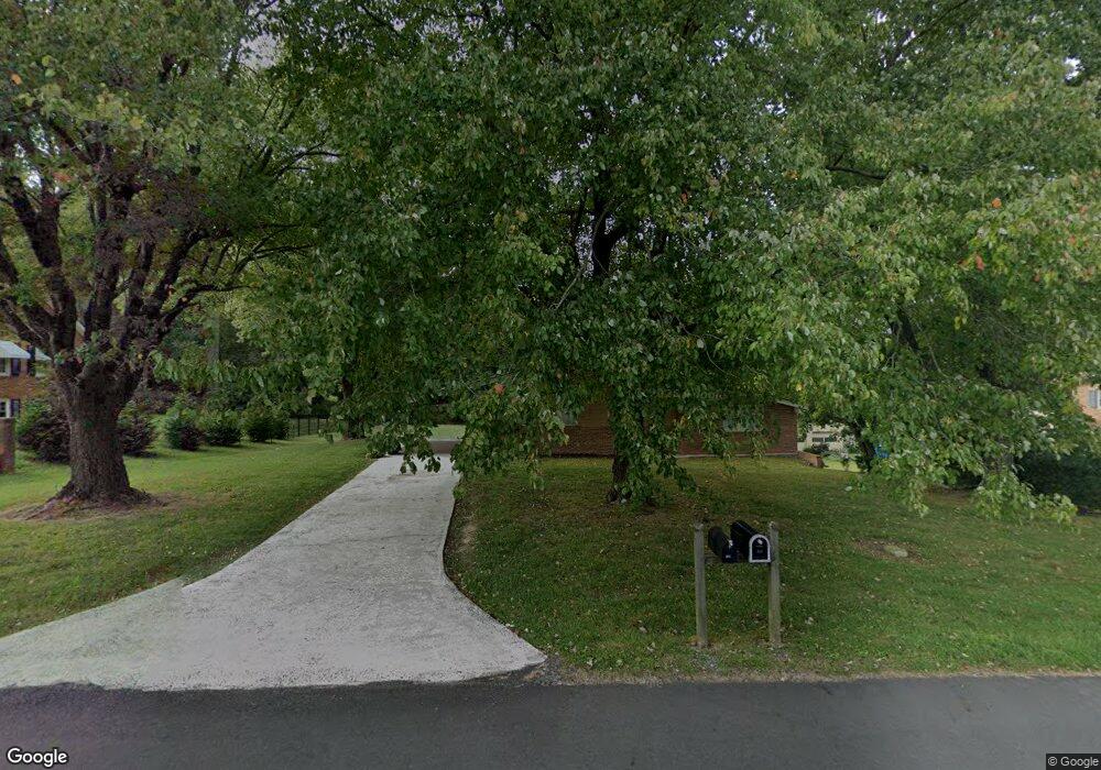
109 Burnley Ln Mount Airy, NC 27030
Estimated Value: $244,000 - $305,000
3
Beds
3
Baths
1,518
Sq Ft
$179/Sq Ft
Est. Value
About This Home
This home is located at 109 Burnley Ln, Mount Airy, NC 27030 and is currently estimated at $271,595, approximately $178 per square foot. 109 Burnley Ln is a home located in Surry County with nearby schools including Bruce H. Tharrington Elementary School, Mount Airy Middle School, and Mount Airy High School.
Ownership History
Date
Name
Owned For
Owner Type
Purchase Details
Closed on
Jan 1, 2022
Sold by
Scott Phillips Dallas and Mann Nannette
Bought by
Lextin Vorsay Llc
Current Estimated Value
Purchase Details
Closed on
Nov 27, 2013
Sold by
Phillips Dallas Scott and Phillips Joan Shelton
Bought by
Philips Dallas S
Home Financials for this Owner
Home Financials are based on the most recent Mortgage that was taken out on this home.
Original Mortgage
$63,100
Interest Rate
4.13%
Mortgage Type
VA
Purchase Details
Closed on
Sep 1, 1994
Purchase Details
Closed on
Dec 1, 1987
Purchase Details
Closed on
Nov 1, 1987
Create a Home Valuation Report for This Property
The Home Valuation Report is an in-depth analysis detailing your home's value as well as a comparison with similar homes in the area
Home Values in the Area
Average Home Value in this Area
Purchase History
| Date | Buyer | Sale Price | Title Company |
|---|---|---|---|
| Lextin Vorsay Llc | $230,000 | None Listed On Document | |
| Philips Dallas S | -- | Gervine Title Llc | |
| -- | $74,000 | -- | |
| -- | -- | -- | |
| -- | $42,000 | -- |
Source: Public Records
Mortgage History
| Date | Status | Borrower | Loan Amount |
|---|---|---|---|
| Previous Owner | Philips Dallas S | $63,100 |
Source: Public Records
Tax History Compared to Growth
Tax History
| Year | Tax Paid | Tax Assessment Tax Assessment Total Assessment is a certain percentage of the fair market value that is determined by local assessors to be the total taxable value of land and additions on the property. | Land | Improvement |
|---|---|---|---|---|
| 2025 | $1,316 | $211,000 | $18,000 | $193,000 |
| 2024 | $1,179 | $171,540 | $14,000 | $157,540 |
| 2023 | $854 | $171,540 | $14,000 | $157,540 |
| 2022 | $854 | $124,200 | $14,000 | $110,200 |
| 2021 | $867 | $124,200 | $14,000 | $110,200 |
| 2020 | $841 | $115,020 | $14,000 | $101,020 |
| 2019 | $838 | $115,020 | $14,000 | $101,020 |
| 2018 | $825 | $115,020 | $0 | $0 |
| 2017 | $835 | $115,020 | $0 | $0 |
| 2016 | $823 | $115,020 | $0 | $0 |
| 2013 | -- | $112,940 | $0 | $0 |
Source: Public Records
Map
Nearby Homes
- 1610 E Wensley Dr
- 1513 Pittman St
- 1023 Spring St
- 226 Hamburg St
- .58 Newsome St
- TBD S Andy Griffith Pkwy
- 00 S Andy Griffith Pkwy
- 1122 Viewland Ave
- 802 Spring St
- 01 Farmbrook Rd
- 000000 Farmbrook Rd
- 00000 Farmbrook Rd
- 02 Farmbrook Rd
- 00 Farmbrook Rd
- Tbd Farmbrook Rd
- 00 Hillcrest Dr
- 220 Broad St
- 214 Broad St
- 704 E Haymore St
- 722 Maiden Ln
- 105 Burnley Ln
- 113 Burnley Ln
- 104 Vernon Cir
- 117 Burnley Ln
- 108 Burnley Ln
- 112 Burnley Ln
- 116 Burnley Ln
- 200 Arlington St
- 129 Burnley Ln
- 208 Arlington St
- 133 Burnley Ln
- 112 Arlington St
- 120 Burnley Ln
- 212 Arlington St
- 1541 W Wensley Dr Unit DRW
- 1626 S Main St
- 1537 W Wensley Dr Unit DRW
- 1634 S Main St
- 137 Burnley Ln
- 128 Burnley Ln