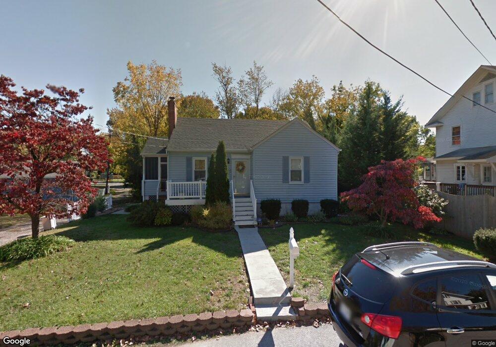
109 C St SW Glen Burnie, MD 21061
Estimated Value: $334,000 - $359,000
--
Bed
1
Bath
896
Sq Ft
$387/Sq Ft
Est. Value
About This Home
This home is located at 109 C St SW, Glen Burnie, MD 21061 and is currently estimated at $346,731, approximately $386 per square foot. 109 C St SW is a home located in Anne Arundel County with nearby schools including Richard Henry Lee Elementary School, Corkran Middle School, and Glen Burnie High School.
Ownership History
Date
Name
Owned For
Owner Type
Purchase Details
Closed on
Jul 31, 2024
Sold by
Beall Michael D and Beall Angela R
Bought by
Mallary Travis and Frye Sylvia
Current Estimated Value
Home Financials for this Owner
Home Financials are based on the most recent Mortgage that was taken out on this home.
Original Mortgage
$341,205
Outstanding Balance
$337,344
Interest Rate
6.87%
Mortgage Type
FHA
Estimated Equity
$9,387
Purchase Details
Closed on
Nov 17, 2023
Sold by
Harle Barbara A
Bought by
Beall Michael D and Beall Angela R
Home Financials for this Owner
Home Financials are based on the most recent Mortgage that was taken out on this home.
Original Mortgage
$266,750
Interest Rate
7.25%
Mortgage Type
New Conventional
Purchase Details
Closed on
Jun 2, 2000
Sold by
Hartman Gary W
Bought by
Harle Barbara A
Create a Home Valuation Report for This Property
The Home Valuation Report is an in-depth analysis detailing your home's value as well as a comparison with similar homes in the area
Home Values in the Area
Average Home Value in this Area
Purchase History
| Date | Buyer | Sale Price | Title Company |
|---|---|---|---|
| Mallary Travis | $347,500 | Maryland First Title | |
| Beall Michael D | $275,000 | Stewart Title | |
| Beall Michael D | $275,000 | Stewart Title | |
| Harle Barbara A | $117,500 | -- |
Source: Public Records
Mortgage History
| Date | Status | Borrower | Loan Amount |
|---|---|---|---|
| Open | Mallary Travis | $341,205 | |
| Previous Owner | Beall Michael D | $266,750 | |
| Closed | Harle Barbara A | -- |
Source: Public Records
Tax History Compared to Growth
Tax History
| Year | Tax Paid | Tax Assessment Tax Assessment Total Assessment is a certain percentage of the fair market value that is determined by local assessors to be the total taxable value of land and additions on the property. | Land | Improvement |
|---|---|---|---|---|
| 2025 | $3,030 | $240,200 | $140,000 | $100,200 |
| 2024 | $3,030 | $230,833 | $0 | $0 |
| 2023 | $1,707 | $221,467 | $0 | $0 |
| 2022 | $1,298 | $212,100 | $120,000 | $92,100 |
| 2021 | $1,194 | $208,967 | $0 | $0 |
| 2020 | $1,194 | $205,833 | $0 | $0 |
| 2019 | $1,137 | $202,700 | $105,000 | $97,700 |
| 2018 | $1,089 | $197,900 | $0 | $0 |
| 2017 | $1,798 | $193,100 | $0 | $0 |
| 2016 | -- | $188,300 | $0 | $0 |
| 2015 | -- | $174,667 | $0 | $0 |
| 2014 | -- | $161,033 | $0 | $0 |
Source: Public Records
Map
Nearby Homes
- 303 A St SW
- 305 Newfield Rd
- 105 Chestnut Ln
- 611 Glenview Ave
- 106 3rd Ave SE
- 103 4th Ave SE
- 105 New Jersey Ave NW
- 209 Lincoln Ave SW
- 420 Lincoln Ave SW
- 108 New Jersey Ave NW
- 112 Main Ave SE
- 538 Elizabeth Ln
- 530 Delmar Ave
- 102 Kent Rd
- 7530 Baltimore Annapolis Blvd
- 106 Heather Stone Way Unit 43
- 118 Heather Stone Way Unit 80
- 911 Meadowbrook Rd
- 500 Manor Rd
- 903 Jay Ct