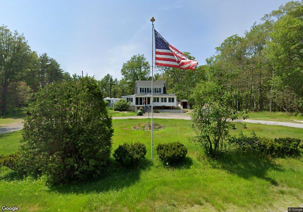
109 Campbell Pond Rd West Bath, ME 04530
Estimated Value: $348,373 - $540,000
2
Beds
1
Bath
1,420
Sq Ft
$319/Sq Ft
Est. Value
About This Home
This home is located at 109 Campbell Pond Rd, West Bath, ME 04530 and is currently estimated at $452,343, approximately $318 per square foot. 109 Campbell Pond Rd is a home located in Sagadahoc County with nearby schools including Morse High School and Hyde School.
Ownership History
Date
Name
Owned For
Owner Type
Purchase Details
Closed on
Nov 20, 2014
Sold by
Reno John E and Reno Laurel M
Bought by
Berry Jacqueline M
Current Estimated Value
Home Financials for this Owner
Home Financials are based on the most recent Mortgage that was taken out on this home.
Original Mortgage
$118,000
Outstanding Balance
$93,604
Interest Rate
5%
Mortgage Type
Adjustable Rate Mortgage/ARM
Estimated Equity
$358,739
Create a Home Valuation Report for This Property
The Home Valuation Report is an in-depth analysis detailing your home's value as well as a comparison with similar homes in the area
Home Values in the Area
Average Home Value in this Area
Purchase History
| Date | Buyer | Sale Price | Title Company |
|---|---|---|---|
| Berry Jacqueline M | -- | -- |
Source: Public Records
Mortgage History
| Date | Status | Borrower | Loan Amount |
|---|---|---|---|
| Open | Berry Jacqueline M | $118,000 |
Source: Public Records
Tax History Compared to Growth
Tax History
| Year | Tax Paid | Tax Assessment Tax Assessment Total Assessment is a certain percentage of the fair market value that is determined by local assessors to be the total taxable value of land and additions on the property. | Land | Improvement |
|---|---|---|---|---|
| 2024 | $2,298 | $280,300 | $100,000 | $180,300 |
| 2023 | $1,906 | $280,300 | $100,000 | $180,300 |
| 2022 | $1,834 | $171,400 | $55,800 | $115,600 |
| 2021 | $1,800 | $171,400 | $55,800 | $115,600 |
| 2020 | $1,800 | $171,400 | $55,800 | $115,600 |
| 2019 | $1,800 | $171,400 | $55,800 | $115,600 |
| 2018 | $1,903 | $171,400 | $55,800 | $115,600 |
| 2017 | $1,920 | $171,400 | $55,800 | $115,600 |
| 2016 | $1,748 | $171,400 | $55,800 | $115,600 |
| 2015 | $1,783 | $171,400 | $55,800 | $115,600 |
| 2014 | $1,748 | $171,400 | $55,800 | $115,600 |
| 2013 | $1,740 | $171,400 | $55,800 | $115,600 |
Source: Public Records
Map
Nearby Homes
- 88 Campbell Pond Rd
- 140 Clifford Rd
- 46 Dam Cove Rd
- 10 Birch Point Rd
- 197 Main Rd
- Lot #2 Rte 209 Main Rd
- 0 Main Rd
- 66 High St
- 0 Smithfield Crossing Unit 1643601
- 93 Abbot Cove Rd
- 286 High St
- 10 Marshall Ave
- 332 Washington St
- 25 Echo Ln
- 444 Middle St
- 29 Pine St
- 498 High St
- 10 Pine St
- 17-1 Bald Head Rd
- 11 Libby Ct
- 115 Campbell Pond Rd
- 123 Campbell Pond Rd
- 124 Campbell Pond Rd
- 20 Coffins Ln
- 118 Campbell Pond Rd
- 29 Coffins Ln
- 143 Campbell Pond Rd
- 5 Coffin
- 5 Coffins Ln
- 34 Coffins Ln
- 34 Coffin's Ln
- 147 Campbell Pond Rd
- 67 Campbell Pond Rd
- 157 Campbell Pond Rd
- 20 Lakeview Dr
- 68 Campbell Pond Rd
- 163 Campbell Pond Rd
- 11 Lakeview Dr
- 726 Berrys Mill Rd
- 57 Campbell Pond Rd