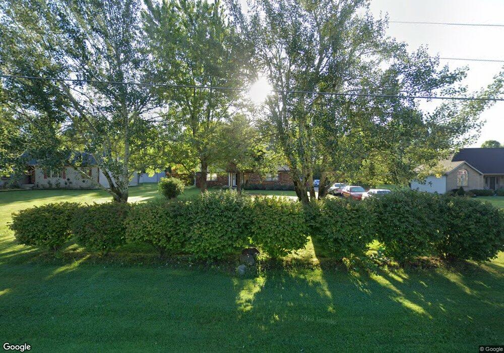
109 Charles Rd SW Pataskala, OH 43062
Estimated Value: $315,000 - $380,000
3
Beds
3
Baths
1,654
Sq Ft
$207/Sq Ft
Est. Value
About This Home
This home is located at 109 Charles Rd SW, Pataskala, OH 43062 and is currently estimated at $342,370, approximately $206 per square foot. 109 Charles Rd SW is a home located in Licking County with nearby schools including North Elementary School, Licking Heights Central, and Licking Heights High School.
Ownership History
Date
Name
Owned For
Owner Type
Purchase Details
Closed on
Apr 30, 2004
Sold by
Harrison Michael E and Harrison Helen L
Bought by
Doone Michelle L and Doone Shawn M
Current Estimated Value
Home Financials for this Owner
Home Financials are based on the most recent Mortgage that was taken out on this home.
Original Mortgage
$136,500
Outstanding Balance
$73,041
Interest Rate
7.55%
Mortgage Type
Unknown
Estimated Equity
$269,329
Create a Home Valuation Report for This Property
The Home Valuation Report is an in-depth analysis detailing your home's value as well as a comparison with similar homes in the area
Home Values in the Area
Average Home Value in this Area
Purchase History
| Date | Buyer | Sale Price | Title Company |
|---|---|---|---|
| Doone Michelle L | $195,000 | -- |
Source: Public Records
Mortgage History
| Date | Status | Borrower | Loan Amount |
|---|---|---|---|
| Open | Doone Michelle L | $136,500 |
Source: Public Records
Tax History Compared to Growth
Tax History
| Year | Tax Paid | Tax Assessment Tax Assessment Total Assessment is a certain percentage of the fair market value that is determined by local assessors to be the total taxable value of land and additions on the property. | Land | Improvement |
|---|---|---|---|---|
| 2024 | $4,039 | $78,820 | $23,940 | $54,880 |
| 2023 | $4,190 | $78,820 | $23,940 | $54,880 |
| 2022 | $3,524 | $57,190 | $14,350 | $42,840 |
| 2021 | $3,592 | $57,190 | $14,350 | $42,840 |
| 2020 | $3,550 | $57,190 | $14,350 | $42,840 |
| 2019 | $3,292 | $49,210 | $11,970 | $37,240 |
| 2018 | $3,326 | $0 | $0 | $0 |
| 2017 | $3,404 | $0 | $0 | $0 |
| 2016 | $5,039 | $0 | $0 | $0 |
| 2015 | $4,804 | $0 | $0 | $0 |
| 2014 | $6,302 | $0 | $0 | $0 |
| 2013 | $4,770 | $0 | $0 | $0 |
Source: Public Records
Map
Nearby Homes
- 65 Daley Dr SW
- 220 Woodland Sky Dr
- 131 Broadmoore Blvd
- 507 Curry Dr
- 413 Halton Dr
- 7376 Mink St SW
- 209 Rona Blvd
- 211 Rona Blvd
- 13771 Cleveland Rd SW
- 13770 Cleveland Rd SW
- 7954 Mink St SW
- 805 Saddle Ave
- 7483 Summit Rd SW
- 0 Mink St SW
- 0 Mink St SW Unit 13 225006231
- 8056 Summit Rd SW
- Yosemite Plan at Heron Manor - Maple Street Collection
- Cumberland Plan at Heron Manor - Maple Street Collection
- Wesley Plan at Linnview Crossing - Maple Street Collection
- Breckenridge Plan at Heron Manor - Maple Street Collection
- 91 Charles Rd SW
- 127 Charles Rd SW
- 0 Charles Dr
- 0 Charles Rd
- 73 Charles Rd SW
- 108 Charles Rd SW
- 90 Charles Rd SW
- 55 Charles Rd SW
- 108 Charles Dr
- 130 Charles Rd SW
- 76 Charles Rd SW
- 41 Charles Rd SW
- 76 Charles Dr
- 146 Charles Rd SW
- 54 Charles Rd SW
- 162 Charles Rd SW
- 180 Charles Rd SW
- 13143 Broad St SW
- 37 Charles Rd SW
- 262 Charles Rd SW