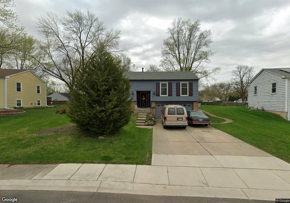
109 Circle Dr W Montgomery, IL 60538
Boulder Hill NeighborhoodEstimated Value: $334,000 - $359,332
About This Home
This home is located at 109 Circle Dr W, Montgomery, IL 60538 and is currently estimated at $345,583, approximately $258 per square foot. 109 Circle Dr W is a home located in Kendall County with nearby schools including Boulder Hill Elementary School, Thompson Jr. High School, and Oswego High School.
Ownership History
We collect this data history from publicly available records. To have your information removed, we recommend requesting removal directly through your county’s website.
Purchase Details
Purchase Details
Purchase Details
Home Values in the Area
Average Home Value in this Area
Purchase History
We collect this data history from publicly available records. To have your information removed, we recommend requesting removal directly through your county’s website.
| Date | Buyer | Sale Price | Title Company |
|---|---|---|---|
| -- | None Available | ||
| -- | None Available | ||
| $99,000 | -- |
Tax History
We collect this data history from publicly available records. To have your information removed, we recommend requesting removal directly through your county’s website.
| Year | Tax Paid | Tax Assessment Tax Assessment Total Assessment is a certain percentage of the fair market value that is determined by local assessors to be the total taxable value of land and additions on the property. | Land | Improvement |
|---|---|---|---|---|
| 2025 | $6,792 | $104,732 | $25,015 | $79,717 |
| 2024 | $6,792 | $98,804 | $23,599 | $75,205 |
| 2023 | $6,104 | $87,437 | $20,884 | $66,553 |
| 2022 | $6,104 | $81,717 | $19,518 | $62,199 |
| 2021 | $6,018 | $76,371 | $18,241 | $58,130 |
| 2020 | $5,115 | $73,433 | $17,539 | $55,894 |
| 2019 | $5,008 | $72,337 | $17,539 | $54,798 |
| 2018 | $5,024 | $66,007 | $16,004 | $50,003 |
| 2017 | $4,830 | $60,836 | $14,750 | $46,086 |
| 2016 | $4,899 | $55,813 | $13,532 | $42,281 |
| 2015 | $4,912 | $51,679 | $12,530 | $39,149 |
| 2014 | -- | $49,691 | $12,048 | $37,643 |
| 2013 | -- | $52,306 | $12,682 | $39,624 |
Map
- 4 Barclay Ct
- 9 Cebold Dr
- 33 Somerset Rd
- 324 Boulder Hill Pass
- 116 Northampton Dr
- 18 Cayman Dr
- 22 Guilford Rd
- 542 Waterford Dr
- 40 Cayman Dr
- 4 Saugatuck Rd
- 1300 Orchard Rd
- 3 Orchard Rd
- 123 Orchard Rd
- 2 Orchard Rd
- 122 Cinderford Ct
- 123 Boulder Hill Pass
- 119 Garden Dr
- 496 Waubonsee Cir
- 109 Old Post Rd
- 546 Tewksbury Cir
Ask me questions while you tour the home.