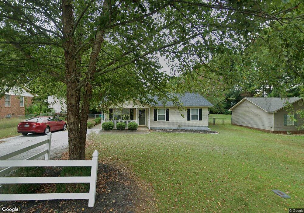
109 Colson St Greenwood, SC 29649
Estimated Value: $154,665 - $233,000
3
Beds
2
Baths
1,000
Sq Ft
$179/Sq Ft
Est. Value
About This Home
This home is located at 109 Colson St, Greenwood, SC 29649 and is currently estimated at $178,666, approximately $178 per square foot. 109 Colson St is a home located in Greenwood County with nearby schools including Eleanor S. Rice Elementary School, Brewer Middle School, and Greenwood High School.
Ownership History
Date
Name
Owned For
Owner Type
Purchase Details
Closed on
Oct 13, 2005
Sold by
Cook Christopher S and Cook Wendy M
Bought by
Hitt Frances G
Current Estimated Value
Home Financials for this Owner
Home Financials are based on the most recent Mortgage that was taken out on this home.
Original Mortgage
$88,000
Outstanding Balance
$46,804
Interest Rate
5.66%
Mortgage Type
New Conventional
Estimated Equity
$131,862
Purchase Details
Closed on
Feb 18, 2005
Sold by
Cobb Kenneth W and Cobb Leslie W
Bought by
Cook Christopher S and Cook Wendy M
Home Financials for this Owner
Home Financials are based on the most recent Mortgage that was taken out on this home.
Original Mortgage
$66,400
Interest Rate
5.69%
Mortgage Type
New Conventional
Create a Home Valuation Report for This Property
The Home Valuation Report is an in-depth analysis detailing your home's value as well as a comparison with similar homes in the area
Home Values in the Area
Average Home Value in this Area
Purchase History
| Date | Buyer | Sale Price | Title Company |
|---|---|---|---|
| Hitt Frances G | $88,000 | -- | |
| Cook Christopher S | $83,000 | -- |
Source: Public Records
Mortgage History
| Date | Status | Borrower | Loan Amount |
|---|---|---|---|
| Open | Hitt Frances G | $88,000 | |
| Previous Owner | Cook Christopher S | $66,400 |
Source: Public Records
Tax History Compared to Growth
Tax History
| Year | Tax Paid | Tax Assessment Tax Assessment Total Assessment is a certain percentage of the fair market value that is determined by local assessors to be the total taxable value of land and additions on the property. | Land | Improvement |
|---|---|---|---|---|
| 2024 | $1,116 | $3,660 | $0 | $0 |
| 2023 | $1,116 | $3,660 | $0 | $0 |
| 2022 | $1,090 | $3,660 | $0 | $0 |
| 2021 | $1,090 | $3,660 | $0 | $0 |
| 2020 | $1,066 | $3,480 | $0 | $0 |
| 2019 | $1,062 | $3,480 | $0 | $0 |
| 2018 | $1,039 | $87,100 | $15,000 | $72,100 |
| 2017 | $1,039 | $87,100 | $15,000 | $72,100 |
| 2016 | $1,040 | $87,100 | $15,000 | $72,100 |
| 2015 | $1,016 | $87,100 | $16,000 | $71,100 |
| 2014 | $1,013 | $3,480 | $0 | $0 |
| 2010 | -- | $87,100 | $16,000 | $71,100 |
Source: Public Records
Map
Nearby Homes
- 118 Kathwood Dr
- 307 Pascal Dr
- 106 Chadford Ct
- 405 Pascal Dr
- 102 Granite Ct
- 113 Sable Ln
- 230 Laurel Ave E
- 116 Sable Ln
- 232 Briggs Ave
- 221 Briggs Ave
- 409 Lanham St
- 201 Rock Knoll Dr
- 101 Birch Trail
- 102 Rock Knoll Dr
- 102 Rock Knoll Dr Unit 1A
- 1101 Laurel Ave E
- 104 Chestnut Ridge
- 505 Watford Ave
- 503 Watford Ave
- 503 Watford Ave