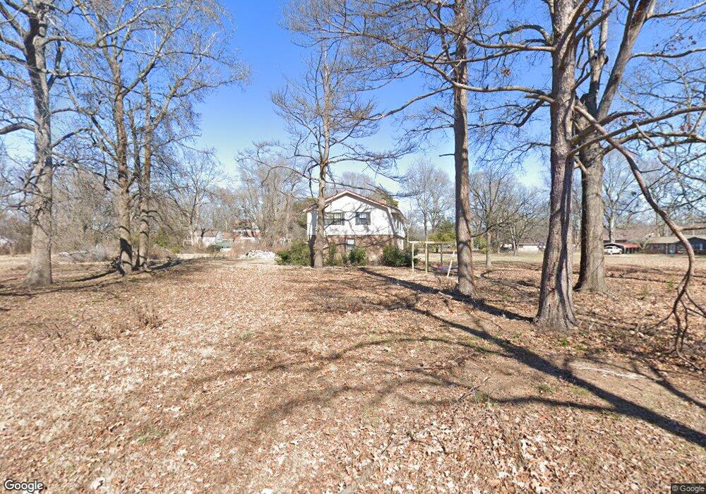
109 D St Mc Gehee, AR 71654
Estimated Value: $117,000 - $238,000
--
Bed
4
Baths
2,957
Sq Ft
$58/Sq Ft
Est. Value
About This Home
This home is located at 109 D St, Mc Gehee, AR 71654 and is currently estimated at $170,550, approximately $57 per square foot. 109 D St is a home located in Desha County with nearby schools including McGehee Elementary School, Conner Middle School, and McGehee High School.
Ownership History
Date
Name
Owned For
Owner Type
Purchase Details
Closed on
Apr 20, 2009
Sold by
Kaider Shelby Dodds and Pitt Sue Dodds
Bought by
Dodds Charles N
Current Estimated Value
Purchase Details
Closed on
Feb 4, 1992
Bought by
Wilma Graham
Purchase Details
Closed on
Nov 19, 1991
Bought by
Sec Of Veterans Affair
Purchase Details
Closed on
Oct 9, 1991
Bought by
First Guaranty Mtg Corp
Purchase Details
Closed on
Apr 15, 1986
Bought by
Nettie Arden and Nettie Roth
Purchase Details
Closed on
Jul 16, 1982
Bought by
Merrill Lynch Relocation
Purchase Details
Closed on
Jun 16, 1982
Bought by
John and Robin Myers
Create a Home Valuation Report for This Property
The Home Valuation Report is an in-depth analysis detailing your home's value as well as a comparison with similar homes in the area
Home Values in the Area
Average Home Value in this Area
Purchase History
| Date | Buyer | Sale Price | Title Company |
|---|---|---|---|
| Dodds Charles N | -- | None Available | |
| Wilma Graham | $61,500 | -- | |
| John Trotter | -- | -- | |
| Sec Of Veterans Affair | -- | -- | |
| First Guaranty Mtg Corp | $52,100 | -- | |
| Nettie Arden | $85,000 | -- | |
| Merrill Lynch Relocation | -- | -- | |
| John | $85,000 | -- |
Source: Public Records
Tax History Compared to Growth
Tax History
| Year | Tax Paid | Tax Assessment Tax Assessment Total Assessment is a certain percentage of the fair market value that is determined by local assessors to be the total taxable value of land and additions on the property. | Land | Improvement |
|---|---|---|---|---|
| 2025 | $1,220 | $23,080 | $2,430 | $20,650 |
| 2024 | $1,220 | $23,080 | $2,430 | $20,650 |
| 2023 | $1,220 | $23,080 | $2,430 | $20,650 |
| 2022 | $525 | $14,820 | $2,430 | $12,390 |
| 2021 | $654 | $16,910 | $2,430 | $14,480 |
| 2020 | $1,011 | $26,570 | $2,430 | $24,140 |
| 2019 | $962 | $26,570 | $2,430 | $24,140 |
| 2018 | $939 | $26,570 | $2,430 | $24,140 |
| 2017 | $866 | $26,570 | $2,430 | $24,140 |
| 2015 | -- | $18,370 | $2,430 | $15,940 |
| 2014 | -- | $18,370 | $2,430 | $15,940 |
| 2013 | -- | $18,370 | $2,430 | $15,940 |
Source: Public Records
Map
Nearby Homes
- 109 Ashcraft St
- 6 Paul St
- Lot 2 Cypress Gardens
- 604 Highway 65 S
- 22 Orlando Dr
- 1104 U S 65
- Vacant land Cater Ln
- Lots 6-7 Bush St
- Lot 1 S 1st St
- Lot 2 S 1st St
- 309 S 5th St
- 209 Sherwood St
- 205 S 2nd St
- 110 S Adams Ave
- 0 Masonville Rd Unit 25037306
- 1 Shannon Dr
- 1108 N 2nd St
- 32 Shannon Dr
- 1608 N 3rd St
- 608 Highway 35 S
- 314 Friedman St
- 317 Friedman St
- 319 Friedman St
- 235 Crooked Bayou Dr
- 312 Friedman St
- 104 D St
- 106 D St
- 301 Crooked Bayou Dr
- 313 Friedman St
- 400 Friedman St
- 318 Oakland St
- 316 Oakland St
- 231 Crooked Bayou Dr
- 314 Oakland St
- 309 Friedman St
- 412 Friedman St
- 227 Crooked Bayou Dr
- 319 Oakland St
- 307 Friedman St
- 309 Crooked Bayou Dr