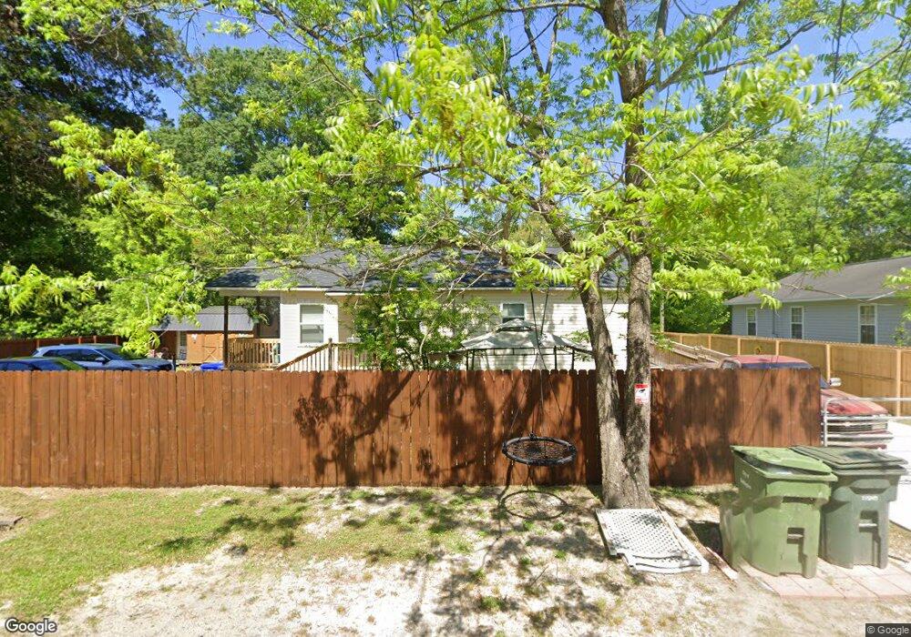
109 Daniel St Darlington, SC 29532
Estimated Value: $111,000 - $135,000
3
Beds
--
Bath
1,575
Sq Ft
$79/Sq Ft
Est. Value
About This Home
This home is located at 109 Daniel St, Darlington, SC 29532 and is currently estimated at $123,693, approximately $78 per square foot. 109 Daniel St is a home located in Darlington County with nearby schools including Pate Elementary School, Brockington Elementary Magnet School, and Darlington Middle School.
Ownership History
Date
Name
Owned For
Owner Type
Purchase Details
Closed on
Aug 29, 2025
Sold by
Jackson Debra and Nickelson Debra M
Bought by
Nickelson Debra M and Jackson Debra
Current Estimated Value
Purchase Details
Closed on
Mar 13, 2007
Sold by
Darlington County Habitat For Humanity
Bought by
Nickelson Debra M
Home Financials for this Owner
Home Financials are based on the most recent Mortgage that was taken out on this home.
Original Mortgage
$46,680
Interest Rate
6.27%
Mortgage Type
Future Advance Clause Open End Mortgage
Create a Home Valuation Report for This Property
The Home Valuation Report is an in-depth analysis detailing your home's value as well as a comparison with similar homes in the area
Home Values in the Area
Average Home Value in this Area
Purchase History
| Date | Buyer | Sale Price | Title Company |
|---|---|---|---|
| Nickelson Debra M | -- | None Listed On Document | |
| Nickelson Debra M | $52,320 | None Available |
Source: Public Records
Mortgage History
| Date | Status | Borrower | Loan Amount |
|---|---|---|---|
| Previous Owner | Nickelson Debra M | $46,680 | |
| Previous Owner | Nickelson Debra M | $52,320 |
Source: Public Records
Tax History Compared to Growth
Tax History
| Year | Tax Paid | Tax Assessment Tax Assessment Total Assessment is a certain percentage of the fair market value that is determined by local assessors to be the total taxable value of land and additions on the property. | Land | Improvement |
|---|---|---|---|---|
| 2024 | $789 | $4,240 | $0 | $0 |
| 2023 | $730 | $3,880 | $0 | $0 |
| 2022 | $730 | $2,920 | $0 | $0 |
| 2021 | $730 | $2,920 | $0 | $0 |
| 2020 | $546 | $2,920 | $0 | $0 |
| 2019 | $561 | $2,920 | $0 | $0 |
| 2018 | $469 | $2,730 | $320 | $2,410 |
| 2017 | $430 | $2,730 | $320 | $2,410 |
| 2016 | $404 | $2,730 | $320 | $2,410 |
| 2014 | $426 | $2,730 | $320 | $2,410 |
| 2013 | $443 | $2,730 | $320 | $2,410 |
Source: Public Records
Map
Nearby Homes
- 406 Pine St
- 116 Reid St
- 109 Reid St
- 208 Grove St
- 1977 E Paces Trail
- 1983 E Paces Trail
- 1970 E Paces Trail
- 5183 Shallowford Rd
- 5189 Shallowford Rd
- 5177 Shallowford Rd
- S Governor Williams Hwy
- 116 Cleveland St
- 113 Cleveland St
- 121 Bacote St
- TBD 1st St
- TBD First & Ave H
- 6 Acres S Governor Williams Hwy
- Lot 14 Wildshall Rd
- 0 Harry Byrd Hwy
- 1011 Pearl St
- 207 Brunson St
- 200 Brunson St
- 114 Brunson St
- 206 Brunson St
- 203 Daniel St
- 202 Daniel St
- 110 Brunson St
- 318 Edwards Ave
- 316 Edwards Ave
- 314 Edwards Ave
- 508 Jessamine St Unit 510
- 108 Brunson St
- 512 Jessamine St
- 322 Edwards Ave
- 504 Jessamine St
- 106 Brunson St
- 324 Edwards Ave
- 514 Jessamine St
- 317 Edwards Ave
- 308 Edwards Ave