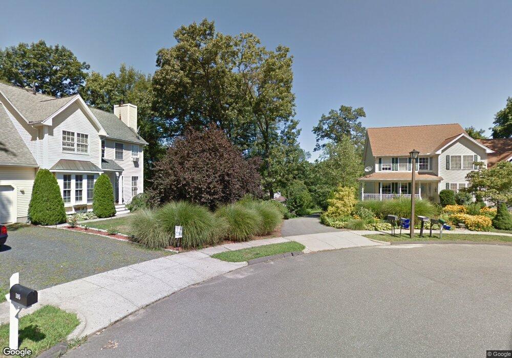
109 David Dr Middletown, CT 06457
Estimated Value: $479,000 - $538,000
3
Beds
3
Baths
1,826
Sq Ft
$280/Sq Ft
Est. Value
About This Home
This home is located at 109 David Dr, Middletown, CT 06457 and is currently estimated at $511,110, approximately $279 per square foot. 109 David Dr is a home located in Middlesex County with nearby schools including Wesley School and St John Paul II School.
Ownership History
Date
Name
Owned For
Owner Type
Purchase Details
Closed on
Apr 27, 2015
Sold by
Maldonado Amy M
Bought by
Maldonado Edward J
Current Estimated Value
Home Financials for this Owner
Home Financials are based on the most recent Mortgage that was taken out on this home.
Original Mortgage
$232,000
Outstanding Balance
$179,374
Interest Rate
3.86%
Estimated Equity
$331,736
Purchase Details
Closed on
Oct 6, 2006
Sold by
Cassidy Sean A and Cassidy Cary I
Bought by
Maldonado Edward I and Maldonado Amy M
Home Financials for this Owner
Home Financials are based on the most recent Mortgage that was taken out on this home.
Original Mortgage
$260,000
Interest Rate
6.54%
Purchase Details
Closed on
Dec 10, 1998
Sold by
Countryview Llc
Bought by
Cassidy Sean A and Cassidy Cary I
Create a Home Valuation Report for This Property
The Home Valuation Report is an in-depth analysis detailing your home's value as well as a comparison with similar homes in the area
Home Values in the Area
Average Home Value in this Area
Purchase History
| Date | Buyer | Sale Price | Title Company |
|---|---|---|---|
| Maldonado Edward J | -- | -- | |
| Maldonado Edward I | $325,000 | -- | |
| Cassidy Sean A | $169,900 | -- |
Source: Public Records
Mortgage History
| Date | Status | Borrower | Loan Amount |
|---|---|---|---|
| Open | Maldonado Edward J | $232,000 | |
| Previous Owner | Cassidy Sean A | $253,850 | |
| Previous Owner | Cassidy Sean A | $260,000 | |
| Previous Owner | Cassidy Sean A | $48,750 |
Source: Public Records
Tax History Compared to Growth
Tax History
| Year | Tax Paid | Tax Assessment Tax Assessment Total Assessment is a certain percentage of the fair market value that is determined by local assessors to be the total taxable value of land and additions on the property. | Land | Improvement |
|---|---|---|---|---|
| 2025 | $9,889 | $267,200 | $69,170 | $198,030 |
| 2024 | $9,462 | $267,200 | $69,170 | $198,030 |
| 2023 | $8,981 | $267,200 | $69,170 | $198,030 |
| 2022 | $8,318 | $201,620 | $51,240 | $150,380 |
| 2021 | $4,299 | $201,620 | $51,240 | $150,380 |
| 2020 | $8,267 | $201,620 | $51,240 | $150,380 |
| 2019 | $4,151 | $201,620 | $51,240 | $150,380 |
| 2018 | $8,021 | $201,620 | $51,240 | $150,380 |
| 2017 | $7,248 | $187,370 | $69,850 | $117,520 |
| 2016 | $7,102 | $187,370 | $69,850 | $117,520 |
| 2015 | $6,945 | $187,370 | $69,850 | $117,520 |
| 2014 | -- | $187,370 | $69,850 | $117,520 |
Source: Public Records
Map
Nearby Homes
- 44 Trailside Crossing
- 0 Arbutus St Unit 24065180
- 347 Farm Hill Rd
- Lot 3 Coleman Rd
- Lot 2 Coleman Rd
- 77 Lindsey Rd
- 143 Julia Terrace Unit 143
- 8 Countryside Ln Unit 2
- 50 Garfield Ave
- 15 Kent Ct
- 55 Lorelei Cir
- 498 Pine St
- 10 Lorelei Cir
- 491 Long Hill Rd
- 1 Russell St Unit 15
- 1 Russell St Unit 11
- 74R Stone Bridge Dr
- 56 Bidwell Terrace
- 73 Durant St
- 154 Front St