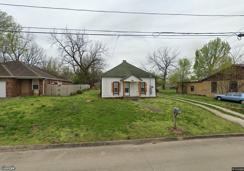
109 E Cleveland St Prairie Grove, AR 72753
Estimated Value: $149,797 - $203,000
--
Bed
1
Bath
784
Sq Ft
$216/Sq Ft
Est. Value
About This Home
This home is located at 109 E Cleveland St, Prairie Grove, AR 72753 and is currently estimated at $169,599, approximately $216 per square foot. 109 E Cleveland St is a home located in Washington County with nearby schools including Prairie Grove Elementary School, Prairie Grove Middle School, and Prairie Grove Junior High School.
Ownership History
Date
Name
Owned For
Owner Type
Purchase Details
Closed on
Dec 15, 2020
Sold by
Thurman William A and Thurman Candace
Bought by
Kirik Development Llc
Current Estimated Value
Home Financials for this Owner
Home Financials are based on the most recent Mortgage that was taken out on this home.
Original Mortgage
$60,000
Interest Rate
2.7%
Mortgage Type
Construction
Purchase Details
Closed on
Oct 13, 1965
Bought by
Jones Jones J and Jones Mary C
Create a Home Valuation Report for This Property
The Home Valuation Report is an in-depth analysis detailing your home's value as well as a comparison with similar homes in the area
Home Values in the Area
Average Home Value in this Area
Purchase History
| Date | Buyer | Sale Price | Title Company |
|---|---|---|---|
| Kirik Development Llc | $45,000 | Waco Title | |
| Jones Jones J | -- | -- |
Source: Public Records
Mortgage History
| Date | Status | Borrower | Loan Amount |
|---|---|---|---|
| Closed | Kirik Development Llc | $60,000 |
Source: Public Records
Tax History Compared to Growth
Tax History
| Year | Tax Paid | Tax Assessment Tax Assessment Total Assessment is a certain percentage of the fair market value that is determined by local assessors to be the total taxable value of land and additions on the property. | Land | Improvement |
|---|---|---|---|---|
| 2025 | $873 | $22,430 | $9,100 | $13,330 |
| 2024 | $819 | $22,430 | $9,100 | $13,330 |
| 2023 | $779 | $22,430 | $9,100 | $13,330 |
| 2022 | $708 | $13,120 | $2,800 | $10,320 |
| 2021 | $503 | $9,310 | $2,800 | $6,510 |
| 2020 | $466 | $9,310 | $2,800 | $6,510 |
| 2019 | $428 | $7,870 | $3,800 | $4,070 |
| 2018 | $428 | $7,870 | $3,800 | $4,070 |
| 2017 | $424 | $7,870 | $3,800 | $4,070 |
| 2016 | $424 | $7,870 | $3,800 | $4,070 |
| 2015 | $424 | $7,870 | $3,800 | $4,070 |
| 2014 | $407 | $7,560 | $3,800 | $3,760 |
Source: Public Records
Map
Nearby Homes
- 4.66 +/- AC Tract 5 Hwy 62 & S Mock St
- 211 Boston St
- 106 S Ozark St
- 107 S Ozark St
- 208 N Neal St
- TBD Kate Smith St
- 304 S Summit St
- 308 S Summit St
- Lot 2 Holmes St
- 601 Westwood Ave
- 606 1/2 E Buchanan St
- 901 E Buchanan St
- 881 E Buchanan St
- 311 S Mock St
- TBD Butler St
- 204 Armstrong St
- 110 Cypress St
- 600 Kendra St
- 621 Kendra St
- 740 Kendra St
- 109 E Cleveland St
- 111 E Cleveland St
- 201 S Mock St
- 201 E Cleveland St
- 219 S Mock St
- 203 E Cleveland St
- 202 E Cleveland St
- 205 E Cleveland St
- 200 E Thurman St
- 0 S Mock St
- 204 E Cleveland St
- 202 S Mock St
- 206 S Mock St
- 208 E Thurman St
- 152 S Mock St
- 210 S Neal St
- 107 W Cleveland St
- 106 W Thurman St
- 0.767 AC Cleveland St
- 214 S Neal St