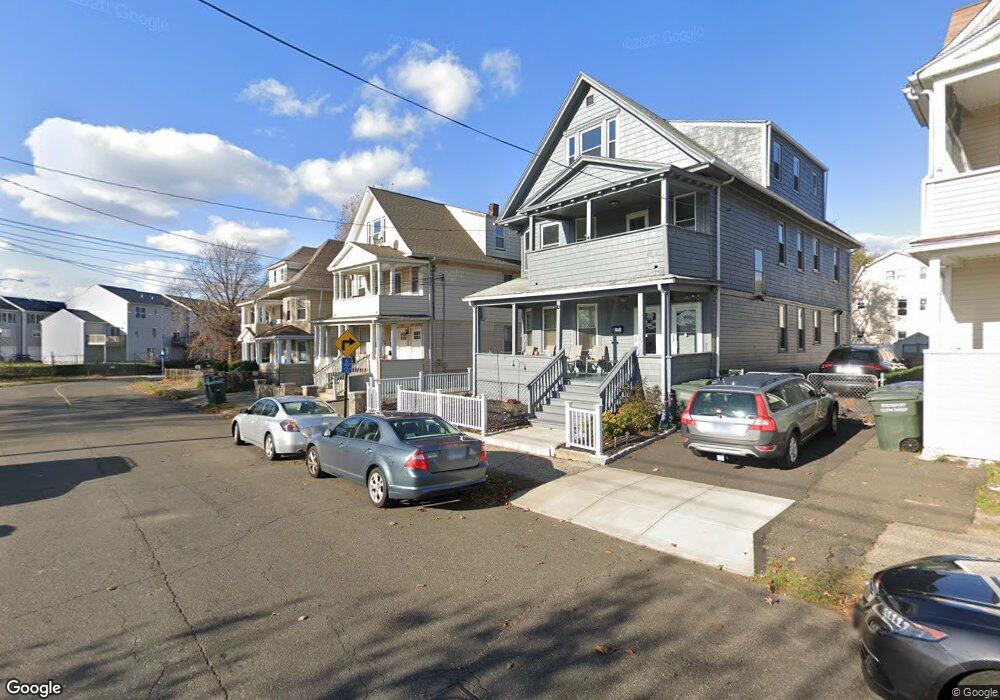
109 Eagle St Unit 113 Bridgeport, CT 06607
East End NeighborhoodEstimated Value: $486,000 - $544,000
6
Beds
3
Baths
3,461
Sq Ft
$146/Sq Ft
Est. Value
About This Home
This home is located at 109 Eagle St Unit 113, Bridgeport, CT 06607 and is currently estimated at $506,000, approximately $146 per square foot. 109 Eagle St Unit 113 is a home located in Fairfield County with nearby schools including Dunbar School, Harding High School, and The Bridge Academy.
Ownership History
Date
Name
Owned For
Owner Type
Purchase Details
Closed on
Apr 30, 1999
Sold by
Bristou Sadie and Berry Romana A
Bought by
Bristou Bernard
Current Estimated Value
Home Financials for this Owner
Home Financials are based on the most recent Mortgage that was taken out on this home.
Original Mortgage
$40,000
Interest Rate
6.95%
Create a Home Valuation Report for This Property
The Home Valuation Report is an in-depth analysis detailing your home's value as well as a comparison with similar homes in the area
Home Values in the Area
Average Home Value in this Area
Purchase History
| Date | Buyer | Sale Price | Title Company |
|---|---|---|---|
| Bristou Bernard | $30,000 | -- | |
| Bristou Bernard | $30,802 | -- | |
| Bristou Bernard | $30,802 | -- |
Source: Public Records
Mortgage History
| Date | Status | Borrower | Loan Amount |
|---|---|---|---|
| Open | Bristou Bernard | $172,800 | |
| Closed | Bristou Bernard | $40,000 |
Source: Public Records
Tax History
| Year | Tax Paid | Tax Assessment Tax Assessment Total Assessment is a certain percentage of the fair market value that is determined by local assessors to be the total taxable value of land and additions on the property. | Land | Improvement |
|---|---|---|---|---|
| 2025 | $7,627 | $175,530 | $34,450 | $141,080 |
| 2024 | $7,627 | $175,530 | $34,450 | $141,080 |
| 2023 | $7,627 | $175,530 | $34,450 | $141,080 |
| 2022 | $7,627 | $175,530 | $34,450 | $141,080 |
| 2021 | $7,627 | $175,530 | $34,450 | $141,080 |
| 2020 | $7,351 | $136,160 | $19,270 | $116,890 |
| 2019 | $7,351 | $136,160 | $19,270 | $116,890 |
| 2018 | $7,403 | $136,160 | $19,270 | $116,890 |
| 2017 | $7,403 | $136,160 | $19,270 | $116,890 |
| 2016 | $7,403 | $136,160 | $19,270 | $116,890 |
| 2015 | $7,961 | $188,660 | $33,040 | $155,620 |
| 2014 | $7,961 | $188,660 | $33,040 | $155,620 |
Source: Public Records
Map
Nearby Homes
- 800 Seaview Ave Unit 760-4
- 800 Seaview Ave Unit 770-5
- 800 Seaview Ave Unit 800-1
- 93 Clifford St
- 73 Orange St
- 643 Newfield Ave Unit 645
- 194 Adams St
- 219 Adams St
- 40-42 5th St
- 384 Connecticut Ave Unit 386
- 231 Deforest Ave
- 376 Seaview Ave
- 334-336 Seaview Ave
- 179 4th St
- 363 Carroll Ave Unit 365
- 306 Carroll Ave
- 102 Carroll Ave
- 98-100 Carroll Ave
- 221 Bunnell St
- 1440 Stratford Ave
- 117 Eagle St Unit 121
- 101 Eagle St Unit 103
- 103 Eagle St Unit 2ND F
- 103 Eagle St Unit Fl 2
- 131 Eagle St
- 135 Eagle St Unit 3
- 54 Smith St
- 70 Smith St
- 70 Smith St Unit 3
- 70 Smith St Unit 2
- 70 Smith St Unit 1
- 78 Smith St
- 74 Smith St Unit 1
- 62 Smith St
- 141 Eagle St Unit 2F
- 141 Eagle St Unit 143
- 80 Smith St Unit 2
- 80 Smith St Unit 3
- 125 Eagle St Unit 127
- 65 Smith St
Your Personal Tour Guide
Ask me questions while you tour the home.