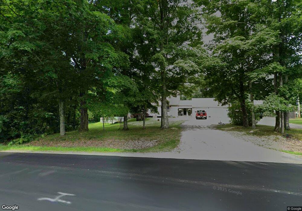
109 Falls Rd Benton, ME 04901
Estimated Value: $110,052 - $259,000
Studio
--
Bath
4,664
Sq Ft
$40/Sq Ft
Est. Value
About This Home
This home is located at 109 Falls Rd, Benton, ME 04901 and is currently estimated at $184,526, approximately $39 per square foot. 109 Falls Rd is a home located in Kennebec County with nearby schools including Lawrence High School and Kennebec Montessori School.
Ownership History
Date
Name
Owned For
Owner Type
Purchase Details
Closed on
Jul 15, 2021
Sold by
Ouellette Daron G
Bought by
Bell Ronald R
Current Estimated Value
Purchase Details
Closed on
Sep 4, 2018
Sold by
Robbins Michael W Est and Robbins
Bought by
Ouellette Daron G and Bell Ronald
Home Financials for this Owner
Home Financials are based on the most recent Mortgage that was taken out on this home.
Original Mortgage
$56,000
Interest Rate
4.5%
Mortgage Type
New Conventional
Create a Home Valuation Report for This Property
The Home Valuation Report is an in-depth analysis detailing your home's value as well as a comparison with similar homes in the area
Home Values in the Area
Average Home Value in this Area
Purchase History
| Date | Buyer | Sale Price | Title Company |
|---|---|---|---|
| Bell Ronald R | -- | None Available | |
| Ouellette Daron G | -- | -- |
Source: Public Records
Mortgage History
| Date | Status | Borrower | Loan Amount |
|---|---|---|---|
| Previous Owner | Ouellette Daron G | $56,000 |
Source: Public Records
Tax History
| Year | Tax Paid | Tax Assessment Tax Assessment Total Assessment is a certain percentage of the fair market value that is determined by local assessors to be the total taxable value of land and additions on the property. | Land | Improvement |
|---|---|---|---|---|
| 2025 | $1,109 | $79,190 | $41,190 | $38,000 |
| 2024 | $1,148 | $79,190 | $41,190 | $38,000 |
| 2023 | $1,022 | $79,190 | $41,190 | $38,000 |
| 2022 | $1,029 | $79,190 | $41,190 | $38,000 |
| 2021 | $1,170 | $65,740 | $31,400 | $34,340 |
| 2020 | $950 | $60,540 | $26,200 | $34,340 |
| 2019 | $914 | $60,540 | $26,200 | $34,340 |
| 2018 | $884 | $60,540 | $26,200 | $34,340 |
| 2017 | $1,461 | $101,450 | $26,200 | $75,250 |
| 2016 | $1,390 | $101,450 | $26,200 | $75,250 |
| 2015 | $1,272 | $94,250 | $25,980 | $68,270 |
| 2014 | $1,282 | $94,250 | $25,980 | $68,270 |
| 2013 | $1,235 | $94,250 | $25,980 | $68,270 |
Source: Public Records
Map
Nearby Homes
- 105 Falls Rd
- 101 Falls Rd
- 122 Falls Rd
- 116 Falls Rd
- 119 Falls Rd
- 97 Falls Rd
- 123 Falls Rd
- 24 Brimstone Hill Rd
- 92 Falls Rd
- 15 Brimstone Hill Rd
- 27 Brimstone Hill Rd
- 16 Pines Rd
- 130 Falls Rd
- 129 Falls Rd
- 29 Brimstone Hill Rd
- 134 Falls Rd
- 12 Averill Mobile Home Park
- 6 Averill Mobile Home Park
- 79 Falls Rd
- 17 Averill's Mobile Home
Your Personal Tour Guide
Ask me questions while you tour the home.