109 Gray Rd La Fayette, GA 30728
Center Post NeighborhoodEstimated Value: $108,200 - $226,000
--
Bed
1
Bath
756
Sq Ft
$233/Sq Ft
Est. Value
About This Home
This home is located at 109 Gray Rd, La Fayette, GA 30728 and is currently estimated at $176,300, approximately $233 per square foot. 109 Gray Rd is a home located in Walker County with nearby schools including Gilbert Elementary School, Lafayette Middle School, and Lafayette High School.
Ownership History
Date
Name
Owned For
Owner Type
Purchase Details
Closed on
Aug 12, 1996
Sold by
Thomas Sharon
Bought by
Gray Kenneth A and Gray Shirley A
Current Estimated Value
Purchase Details
Closed on
Feb 23, 1982
Sold by
Thomas Duane and Thomas Sharon
Bought by
Thomas Sharon
Purchase Details
Closed on
May 10, 1973
Sold by
Littlejohn Gordon
Bought by
Thomas Duane and Thomas Sharon
Purchase Details
Closed on
Jan 1, 1972
Bought by
Littlejohn Gordon
Create a Home Valuation Report for This Property
The Home Valuation Report is an in-depth analysis detailing your home's value as well as a comparison with similar homes in the area
Home Values in the Area
Average Home Value in this Area
Purchase History
| Date | Buyer | Sale Price | Title Company |
|---|---|---|---|
| Gray Kenneth A | $1,000 | -- | |
| Thomas Sharon | -- | -- | |
| Thomas Duane | -- | -- | |
| Littlejohn Gordon | -- | -- |
Source: Public Records
Tax History Compared to Growth
Tax History
| Year | Tax Paid | Tax Assessment Tax Assessment Total Assessment is a certain percentage of the fair market value that is determined by local assessors to be the total taxable value of land and additions on the property. | Land | Improvement |
|---|---|---|---|---|
| 2024 | $883 | $37,303 | $12,352 | $24,951 |
| 2023 | $817 | $33,414 | $9,803 | $23,611 |
| 2022 | $700 | $26,249 | $6,176 | $20,073 |
| 2021 | $488 | $15,474 | $6,176 | $9,298 |
| 2020 | $454 | $13,634 | $6,176 | $7,458 |
| 2019 | $461 | $13,634 | $6,176 | $7,458 |
| 2018 | $361 | $13,634 | $6,176 | $7,458 |
| 2017 | $266 | $13,634 | $6,176 | $7,458 |
| 2016 | $266 | $13,634 | $6,176 | $7,458 |
| 2015 | $405 | $18,594 | $7,800 | $10,794 |
| 2014 | $327 | $18,594 | $7,800 | $10,794 |
| 2013 | $361 | $18,594 | $7,800 | $10,794 |
Source: Public Records
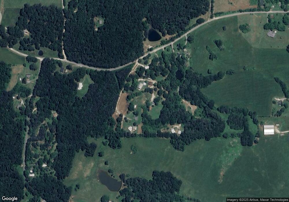
Map
Nearby Homes
- 6670 Highway 337
- 3523 E Broomtown Rd
- 1144 Ridgeway Rd
- 0 Martindale Rd Unit 10608820
- 0 Martindale Rd Unit 1520834
- 434 Farm Rd
- 456 Cummings Rd Unit C
- 456 Cummings Rd
- 456 Cummings Rd Unit D
- 456 Cummings Rd Unit B
- 456 Cummings Rd Unit E
- 761 Chandler Rd
- 0 Ga Hwy 337 Unit LotWP001
- 0 Sand Pit Rd Unit 20121967
- 0 Sand Pit Rd Unit 17650016
- 1255 Ridgeway Dr
- 7839 Trion Hwy
- 0 S Hwy 27 Unit 10254661
- 151 Airport Rd
- 70 Golf Course Ln
- 109 Gray Rd
- 113 Dudley Dr
- 47 Gray Rd
- 67 Dudley Dr
- 319 Mcconnell Crossing
- 225 Mcconnell Crossing
- 6566 Chamberlain Rd
- 6706 Chamberlain Rd
- 427 Napier Chapel Rd
- 97 Napier Chapel Rd
- 96 Mann Rd
- 96 Mann Dr
- 43 Mcconnell Crossing
- 516 Mcconnell Crossing
- 7434 Highway 337
- 235 Napier Chapel Rd
- 55 Mcconnell Crossing
- 22 Napier Chapel Rd
- 94 Napier Chapel Rd
- 6512 Chamberlain Rd