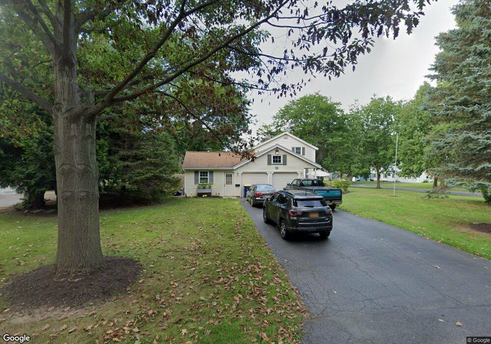
109 Hefner Dr Webster, NY 14580
Estimated Value: $331,005 - $351,000
4
Beds
3
Baths
1,954
Sq Ft
$175/Sq Ft
Est. Value
About This Home
This home is located at 109 Hefner Dr, Webster, NY 14580 and is currently estimated at $341,751, approximately $174 per square foot. 109 Hefner Dr is a home located in Monroe County with nearby schools including State Road Elementary School, Spry Middle School, and Webster-Schroeder High School.
Ownership History
Date
Name
Owned For
Owner Type
Purchase Details
Closed on
Sep 25, 2017
Sold by
Packer Mary Ann
Bought by
Dombroski John D and Dombroski Alana J
Current Estimated Value
Home Financials for this Owner
Home Financials are based on the most recent Mortgage that was taken out on this home.
Original Mortgage
$181,623
Outstanding Balance
$150,885
Interest Rate
3.62%
Mortgage Type
FHA
Estimated Equity
$190,866
Purchase Details
Closed on
Feb 24, 2015
Sold by
Packer Courtney K and Packer Mary Ann
Bought by
Packer Mary Ann
Create a Home Valuation Report for This Property
The Home Valuation Report is an in-depth analysis detailing your home's value as well as a comparison with similar homes in the area
Home Values in the Area
Average Home Value in this Area
Purchase History
| Date | Buyer | Sale Price | Title Company |
|---|---|---|---|
| Dombroski John D | $188,000 | Chicago Title | |
| Packer Mary Ann | -- | None Available |
Source: Public Records
Mortgage History
| Date | Status | Borrower | Loan Amount |
|---|---|---|---|
| Open | Dombroski John D | $181,623 |
Source: Public Records
Tax History
| Year | Tax Paid | Tax Assessment Tax Assessment Total Assessment is a certain percentage of the fair market value that is determined by local assessors to be the total taxable value of land and additions on the property. | Land | Improvement |
|---|---|---|---|---|
| 2024 | $7,182 | $138,700 | $27,600 | $111,100 |
| 2023 | $6,948 | $138,700 | $27,600 | $111,100 |
| 2022 | $6,847 | $138,700 | $27,600 | $111,100 |
| 2021 | $6,792 | $138,700 | $27,600 | $111,100 |
| 2020 | $6,642 | $138,700 | $27,600 | $111,100 |
| 2019 | $5,459 | $138,700 | $27,600 | $111,100 |
| 2018 | $6,371 | $138,700 | $27,600 | $111,100 |
| 2017 | $0 | $138,700 | $27,600 | $111,100 |
| 2016 | $5,459 | $138,700 | $27,600 | $111,100 |
| 2015 | -- | $138,700 | $27,600 | $111,100 |
| 2014 | -- | $138,700 | $27,600 | $111,100 |
Source: Public Records
Map
Nearby Homes
- 1059 Fawn Wood Dr
- 107 Cedarway Cir Unit 410
- 119 Cedarway Cir Unit 405
- 109 Cedarway Cir Unit 409
- 105 Cedarway Cir Unit 411
- 224 Rayfield Cir
- 1045 Fawn Wood Dr
- 33 Dunning Ave
- 106 Cedarway Cir Unit 414
- 121 E Main St
- 66 E Main St
- 78 Bainbridge Ln
- 281 North Ave
- 699 Neros Run
- 34 Robert Michaels Run
- 1164 Woodbridge Ln
- 4 Clearfield Dr
- 16 Springwood Dr
- 1679 Plank Rd
- 978 State Rd
Your Personal Tour Guide
Ask me questions while you tour the home.