109 Kimberly Ln Kings Mountain, NC 28086
Estimated Value: $422,000 - $460,000
3
Beds
2
Baths
2,271
Sq Ft
$195/Sq Ft
Est. Value
About This Home
This home is located at 109 Kimberly Ln, Kings Mountain, NC 28086 and is currently estimated at $443,193, approximately $195 per square foot. 109 Kimberly Ln is a home located in Cleveland County with nearby schools including North Elementary School, Kings Mountain Intermediate School, and Kings Mountain Middle.
Ownership History
Date
Name
Owned For
Owner Type
Purchase Details
Closed on
Nov 18, 2019
Sold by
Moss Michael
Bought by
Miller Danielle Elizabeth
Current Estimated Value
Home Financials for this Owner
Home Financials are based on the most recent Mortgage that was taken out on this home.
Original Mortgage
$222,200
Outstanding Balance
$195,673
Interest Rate
3.65%
Mortgage Type
New Conventional
Estimated Equity
$247,520
Purchase Details
Closed on
Apr 13, 2018
Sold by
Davidson Tony Ray and Davidson Kathy L
Bought by
Moss Michal
Create a Home Valuation Report for This Property
The Home Valuation Report is an in-depth analysis detailing your home's value as well as a comparison with similar homes in the area
Home Values in the Area
Average Home Value in this Area
Purchase History
| Date | Buyer | Sale Price | Title Company |
|---|---|---|---|
| Miller Danielle Elizabeth | $252,500 | None Available | |
| Moss Michal | $230,000 | None Available |
Source: Public Records
Mortgage History
| Date | Status | Borrower | Loan Amount |
|---|---|---|---|
| Open | Miller Danielle Elizabeth | $222,200 |
Source: Public Records
Tax History Compared to Growth
Tax History
| Year | Tax Paid | Tax Assessment Tax Assessment Total Assessment is a certain percentage of the fair market value that is determined by local assessors to be the total taxable value of land and additions on the property. | Land | Improvement |
|---|---|---|---|---|
| 2025 | $3,839 | $374,536 | $36,036 | $338,500 |
| 2024 | $3,038 | $258,108 | $28,828 | $229,280 |
| 2023 | $3,023 | $258,108 | $28,828 | $229,280 |
| 2022 | $2,895 | $258,108 | $28,828 | $229,280 |
| 2021 | $2,909 | $258,108 | $28,828 | $229,280 |
| 2020 | $2,465 | $212,461 | $19,699 | $192,762 |
| 2019 | $2,465 | $212,461 | $19,699 | $192,762 |
| 2018 | $2,464 | $212,461 | $19,699 | $192,762 |
| 2017 | $2,452 | $212,461 | $19,699 | $192,762 |
| 2016 | $2,462 | $212,461 | $19,699 | $192,762 |
| 2015 | $2,263 | $200,349 | $17,617 | $182,732 |
| 2014 | $2,209 | $195,558 | $17,617 | $177,941 |
Source: Public Records
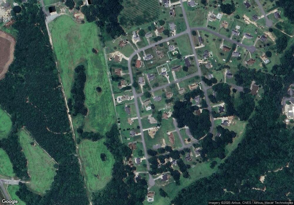
Map
Nearby Homes
- 110 Kimberly Ln
- 202 Cameron Dr
- 106 Cameron Dr
- 125 Country Creek Dr
- 129 Country Creek Dr
- Plan 2338 at Cottages at Clovis Point
- Plan 2723 at Cottages at Clovis Point
- Plan 2539 at Cottages at Clovis Point
- Plan 1844 at Cottages at Clovis Point
- Plan 1445 at Cottages at Clovis Point
- Plan 1582 at Cottages at Clovis Point
- 262 Frank Burns Way
- 223 Frank Burns Way
- 115 El Bethel Rd
- 226 Caley St
- 107 Frank Burns Way
- 1610 Shelby Rd
- 145 Crown Ct
- 117 Sir Lancelot Ln
- Belhaven Plan at Brinkley Ridge
- 107 Kimberly Ln
- 207 Cameron Dr
- 208 Cameron Dr
- 206 Cameron Dr
- 103 Apple Ct
- 105 Kimberly Ln
- 211 Cameron Dr
- 211 Cameron Dr
- 108 Kimberly Ln
- 204 Cameron Dr
- 212 Cameron Dr
- 106 Kimberly Ln
- 103 Kimberly Ln
- 109 Cameron Dr
- 136 Country Creek Dr
- 101 Apple Ct
- 214 Cameron Dr
- 107 Cameron Dr
- 104 Kimberly Ln
- 120 Country Creek Dr