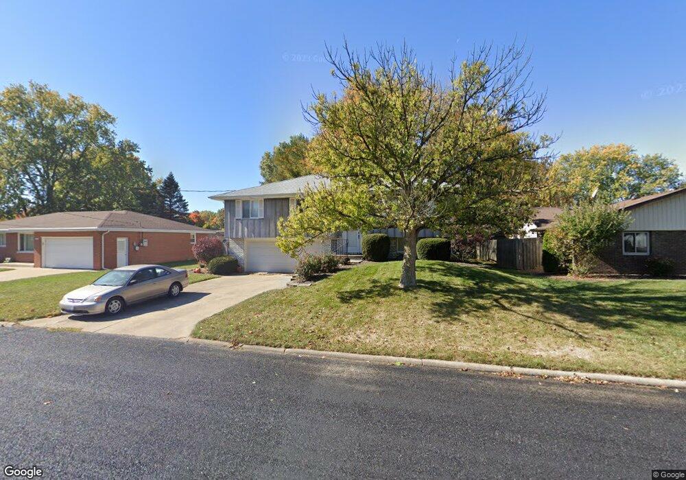
109 Lafayette Ln East Peoria, IL 61611
Estimated Value: $195,000 - $209,000
3
Beds
2
Baths
1,660
Sq Ft
$121/Sq Ft
Est. Value
About This Home
This home is located at 109 Lafayette Ln, East Peoria, IL 61611 and is currently estimated at $200,944, approximately $121 per square foot. 109 Lafayette Ln is a home located in Tazewell County with nearby schools including Neil A. Armstrong School, P.L. Bolin Elementary School, and Central Junior High School.
Ownership History
Date
Name
Owned For
Owner Type
Purchase Details
Closed on
Aug 25, 2009
Sold by
Bjorling Norman W and Bjorling Barbara
Bought by
Nunnery Nicole R
Current Estimated Value
Home Financials for this Owner
Home Financials are based on the most recent Mortgage that was taken out on this home.
Original Mortgage
$126,800
Outstanding Balance
$83,011
Interest Rate
5.21%
Mortgage Type
New Conventional
Estimated Equity
$117,933
Create a Home Valuation Report for This Property
The Home Valuation Report is an in-depth analysis detailing your home's value as well as a comparison with similar homes in the area
Home Values in the Area
Average Home Value in this Area
Purchase History
| Date | Buyer | Sale Price | Title Company |
|---|---|---|---|
| Nunnery Nicole R | $133,500 | Jbn Title |
Source: Public Records
Mortgage History
| Date | Status | Borrower | Loan Amount |
|---|---|---|---|
| Open | Nunnery Nicole R | $126,800 |
Source: Public Records
Tax History Compared to Growth
Tax History
| Year | Tax Paid | Tax Assessment Tax Assessment Total Assessment is a certain percentage of the fair market value that is determined by local assessors to be the total taxable value of land and additions on the property. | Land | Improvement |
|---|---|---|---|---|
| 2024 | $4,077 | $52,960 | $11,300 | $41,660 |
| 2023 | $4,077 | $48,750 | $10,400 | $38,350 |
| 2022 | $3,856 | $45,290 | $9,660 | $35,630 |
| 2021 | $3,679 | $43,550 | $9,290 | $34,260 |
| 2020 | $3,476 | $42,280 | $9,020 | $33,260 |
| 2019 | $3,454 | $42,280 | $9,020 | $33,260 |
| 2018 | $3,360 | $42,280 | $9,020 | $33,260 |
| 2017 | $3,329 | $41,860 | $8,930 | $32,930 |
| 2016 | $3,250 | $41,860 | $8,930 | $32,930 |
| 2015 | $3,186 | $0 | $0 | $0 |
| 2013 | $3,208 | $41,860 | $8,930 | $32,930 |
Source: Public Records
Map
Nearby Homes
- 304 Indian Cir
- 108 Walnut Ct
- 202 Castle Ln
- 129 Cherbourg Ct
- 508 Highview Rd
- 117 Greenlawn Ct
- Lot 6 Oakwood Rd
- 132 Star Rim Dr
- 114 Raynor St
- 100 Oakridge Ct
- 3300 E Washington St
- 3304 E Washington St
- 1608 Highview Rd
- 208 Montrose Ave
- Lot 7 Sundance Ln
- 0000 Highway 24
- 313 Howard St
- 404 High Oak Dr
- 104 N Inglewood Dr
- 615 Meadow Ave
- 105 Lafayette Ln
- 113 Lafayette Ln
- 104 W Lasalle Dr
- 117 Lafayette Ln
- 101 Lafayette Ln
- 108 W Lasalle Dr
- 112 Lafayette Ln
- 108 Lafayette Ln
- 116 Lafayette Ln
- 112 W Lasalle Dr
- 512 Indian Cir
- 104 Lafayette Ln
- 540 Indian Cir
- 121 Lafayette Ln
- 120 Lafayette Ln
- 116 W Lasalle Dr
- 116 W Lasalle Dr
- 105 La Salle Dr
- 321 Illini Dr
- 600 Indian Cir