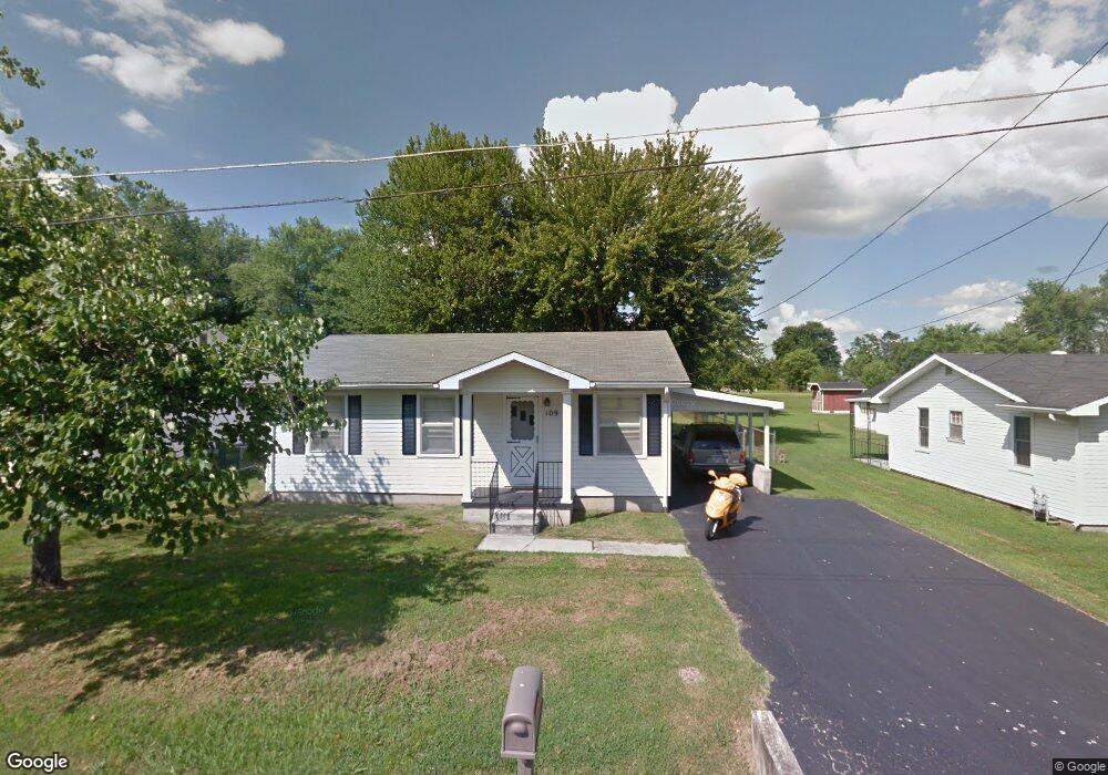
109 Lancaster Dr Hopkinsville, KY 42240
Estimated Value: $119,767 - $188,000
3
Beds
1
Bath
1,156
Sq Ft
$134/Sq Ft
Est. Value
About This Home
This home is located at 109 Lancaster Dr, Hopkinsville, KY 42240 and is currently estimated at $155,442, approximately $134 per square foot. 109 Lancaster Dr is a home located in Christian County with nearby schools including Freedom Elementary School and Christian County Middle School.
Ownership History
Date
Name
Owned For
Owner Type
Purchase Details
Closed on
May 21, 2021
Sold by
Martin Retail Properties Inc
Bought by
Tau Properties Llc
Current Estimated Value
Purchase Details
Closed on
May 18, 2016
Sold by
Cgw Partners Llc
Bought by
County Of Christian Kentucky
Purchase Details
Closed on
Oct 24, 2012
Sold by
Phillips Dale E and Phillips Patricia
Bought by
Martin Retail Properties Inc
Purchase Details
Closed on
Jun 23, 2005
Sold by
Phillips Alma C and Phillips Christine A
Bought by
Phillips Dale E and Clark Shirley Phillips
Create a Home Valuation Report for This Property
The Home Valuation Report is an in-depth analysis detailing your home's value as well as a comparison with similar homes in the area
Home Values in the Area
Average Home Value in this Area
Purchase History
| Date | Buyer | Sale Price | Title Company |
|---|---|---|---|
| Tau Properties Llc | $320,000 | None Listed On Document | |
| County Of Christian Kentucky | $30,000 | None Available | |
| Martin Retail Properties Inc | $58,000 | None Available | |
| Phillips Dale E | -- | None Available |
Source: Public Records
Tax History Compared to Growth
Tax History
| Year | Tax Paid | Tax Assessment Tax Assessment Total Assessment is a certain percentage of the fair market value that is determined by local assessors to be the total taxable value of land and additions on the property. | Land | Improvement |
|---|---|---|---|---|
| 2024 | $666 | $90,000 | $0 | $0 |
| 2023 | $699 | $90,000 | $0 | $0 |
| 2022 | $701 | $90,000 | $0 | $0 |
| 2021 | $512 | $65,000 | $0 | $0 |
| 2020 | $515 | $65,000 | $0 | $0 |
| 2019 | $518 | $65,000 | $0 | $0 |
| 2018 | $518 | $65,000 | $0 | $0 |
| 2017 | $510 | $65,000 | $0 | $0 |
| 2016 | $505 | $65,000 | $0 | $0 |
| 2015 | $150 | $65,000 | $0 | $0 |
| 2014 | $150 | $65,000 | $0 | $0 |
| 2013 | -- | $65,000 | $0 | $0 |
Source: Public Records
Map
Nearby Homes
- 107 Lancaster Dr
- 329 Pine Hill Dr
- 525 Highpoint Dr
- 247 Johnston Trace
- 0 Sanderson Dr
- 600 Colonette Dr
- 1405 Barberry Place
- 605 Colonelette Dr
- 601 Evergreen Park Dr
- 1409 Honeysuckle Dr
- 1412 Honeysuckle Dr
- 600 A Colonelette Dr
- 2210 Princeton Rd
- 1413 Glass Ave
- 1191 Emerson Cir
- 612 North Dr
- 201 Oriole Dr
- 151 N Mcpherson St
- 153 N Mcpherson St
- 119 N Fowler Ave
- 119 Lancaster Dr
- 105 Lancaster Dr
- 111 Lancaster Dr
- 120 Lancaster Dr
- 118 Lancaster Dr
- 116 Lancaster Dr
- 108 N Saltsman Dr
- 102 N Saltsman Dr
- 00 Pine Hill Dr
- 327 Pine Hill Dr
- 504 Sanderson Dr
- 500 Sanderson Dr
- 331 Pine Hill Dr
- 325 Pine Hill Dr
- 332 Pine Hill Dr
- 330 Pine Hill Dr
- 328 Pine Hill Dr
- 326 Pine Hill Dr
- 324 Pine Hill Dr
- 322 Pine Hill Dr